• Home
  • About Geogypsy
    • Herstory
    • Parks where I’ve worked
  • Places I’ve been
    • United States
      • Arizona
        • Antelope Slot Canyon
        • Casa Grande Ruins National Monument
        • Colossal Cave Mountain Park
        • Flagstaff
        • Glen Canyon National Recreation Area
        • Grand Canyon National Park
          • Grand Canyon National Park North Rim
          • Grand Canyon National Park South Rim
          • Toroweap
        • Havasu Canyon
        • Horseshoe Bend
        • Jerome
        • Kaibab National Forest
        • Lee’s Ferry
        • Meteor Crater
        • Navajo Bridge
        • Oak Creek Canyon
        • Painted Desert
        • Pipe Springs National Monument
        • Prescott
        • Quartzsite
        • Saguaro National Park
        • Sedona
        • Sunset Crater Volcano National Monument
        • Vermilion Cliffs
        • Walnut Canyon National Monument
        • Wupatki National Monument
        • Yarnell
      • California
        • Anzaberrego
        • Bakersfield
        • Death Valley National Park
        • Joshua Tree National Park
        • Redwoods NP
        • Salton Sea
        • Yucca Valley
      • Colorado
        • Mesa Verde National Park
      • Florida
      • Illinois
        • IL River
        • Morton Arboretum
        • Starved Rock State Park
      • Michigan
      • Nevada
      • New Mexico
      • Oregon
        • Crater Lake NP
        • Mt Hood
        • Oregon Caves National Monument
      • Texas
        • Alpine Texas
        • Padre Island
        • Port Isabel
        • Rio Grande Valley
      • Utah
        • Brian’s Head
        • Bryce Canyon National Park
        • Buckskin Gulch
        • Cedar Breaks National Monument
        • Cedar City
        • Coral Pink Sand Dunes State Park
        • Dixie National Forest
        • Grand Staircase Escalante National Monument
        • Johnson Canyon
        • Kanab
    • World Travels
      • Germany
      • Mexico
      • South Africa
  • Tours
  • Photography
  • Work with Me
    • Sponsors
  • Contact
Geogypsy
Menu
  • Home
  • About Geogypsy
    • Herstory
    • Parks where I’ve worked
  • Places I’ve been
    • United States
      • Arizona
        • Antelope Slot Canyon
        • Casa Grande Ruins National Monument
        • Colossal Cave Mountain Park
        • Flagstaff
        • Glen Canyon National Recreation Area
        • Grand Canyon National Park
          • Grand Canyon National Park North Rim
          • Grand Canyon National Park South Rim
          • Toroweap
        • Havasu Canyon
        • Horseshoe Bend
        • Jerome
        • Kaibab National Forest
        • Lee’s Ferry
        • Meteor Crater
        • Navajo Bridge
        • Oak Creek Canyon
        • Painted Desert
        • Pipe Springs National Monument
        • Prescott
        • Quartzsite
        • Saguaro National Park
        • Sedona
        • Sunset Crater Volcano National Monument
        • Vermilion Cliffs
        • Walnut Canyon National Monument
        • Wupatki National Monument
        • Yarnell
      • California
        • Anzaberrego
        • Bakersfield
        • Death Valley National Park
        • Joshua Tree National Park
        • Redwoods NP
        • Salton Sea
        • Yucca Valley
      • Colorado
        • Mesa Verde National Park
      • Florida
      • Illinois
        • IL River
        • Morton Arboretum
        • Starved Rock State Park
      • Michigan
      • Nevada
      • New Mexico
      • Oregon
        • Crater Lake NP
        • Mt Hood
        • Oregon Caves National Monument
      • Texas
        • Alpine Texas
        • Padre Island
        • Port Isabel
        • Rio Grande Valley
      • Utah
        • Brian’s Head
        • Bryce Canyon National Park
        • Buckskin Gulch
        • Cedar Breaks National Monument
        • Cedar City
        • Coral Pink Sand Dunes State Park
        • Dixie National Forest
        • Grand Staircase Escalante National Monument
        • Johnson Canyon
        • Kanab
    • World Travels
      • Germany
      • Mexico
      • South Africa
  • Tours
  • Photography
  • Work with Me
    • Sponsors
  • Contact

Category: National Parks and Monuments

08 March 2017

Colorful hiking at Valley of Fire State Park

March 1-4, 2017 Valley of Fire
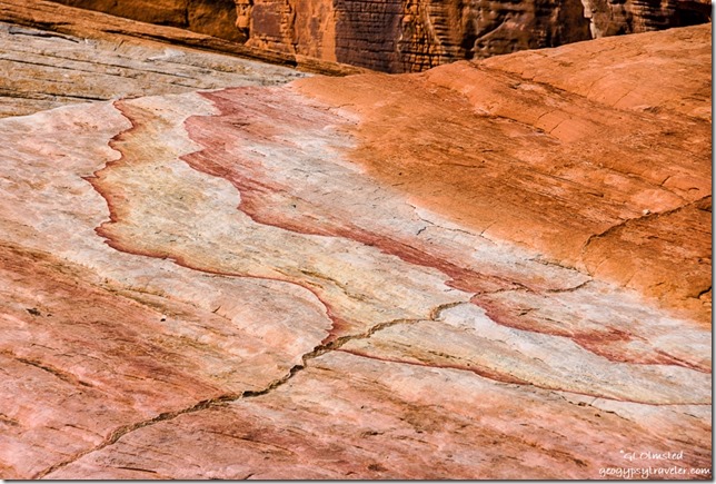
Colorful sandstone White Domes trail Valley of Fire State Park NevadaLike a watercolor left in the rain, the rocks make for colorful hiking at Valley of Fire State Park in Nevada.
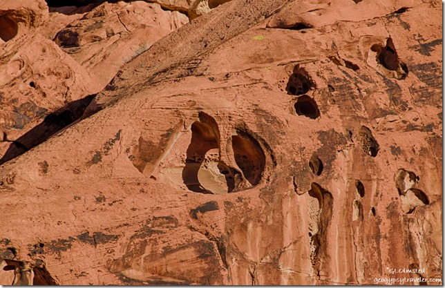
Carved sandstone Arch Rock campground Valley of Fire State Park NevadaSure am glad Sandee arrived early enough to get a campsite as I didn’t pull in until just after sunset and both campgrounds were full, every night we were there.  She tried to save three sites in Arch Rock campground for some friends but a Ranger came by and told her that was illegal.  So we both parked in the one site she’d paid for, my camper and her minivan.  As soon as the sun went down the temperatures followed and we got in the camper where I could make heat and dinner.  Experienced a very cold night, below 40°F so was glad for the extra wool blanket.

Thursday morning we were off early, for me, because of the gained hour in Pacific time.  Went to the visitor center first to get a map and ask if they would let me pay for campsites with credit card, no problem. Check out time 2:30pm also meant no rush.
Fire Wave trail Valley of Fire State Park Nevada

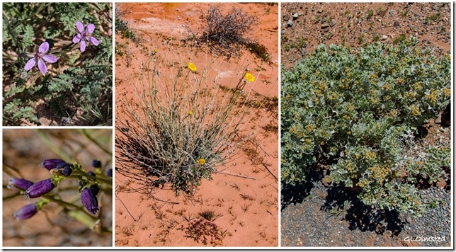
Flowers Valley of Fire State Park Nevada

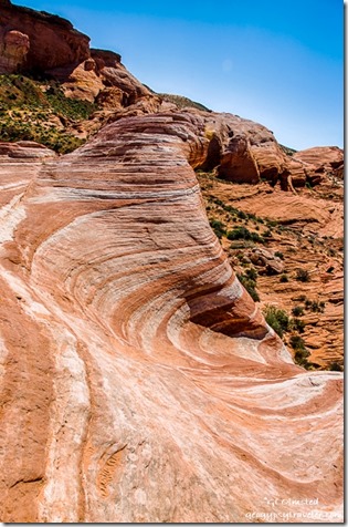
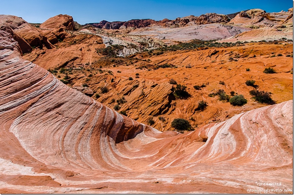
Fire Wave Valley of Fire State Park NevadaOff we went hiking to the Fire Wave and although it is a beautiful feature we spent way more time on our lollygag walk than at the actual Fire Wave.  Some plants are starting to bloom, Mormon tea, brittlebush, and several I don’t know.  Plus so much awesome rock, shades of red sandstone, limestone, green-gray shale, and conglomerates often with a coating of desert varnish.  Sandee says she enjoys our walks because she learns so much about the geology.  The 1.2 mile hike turned into about 3 miles as we wandered about 2-3 hours.


Big horned sheep Valley of Fire State Park Nevada

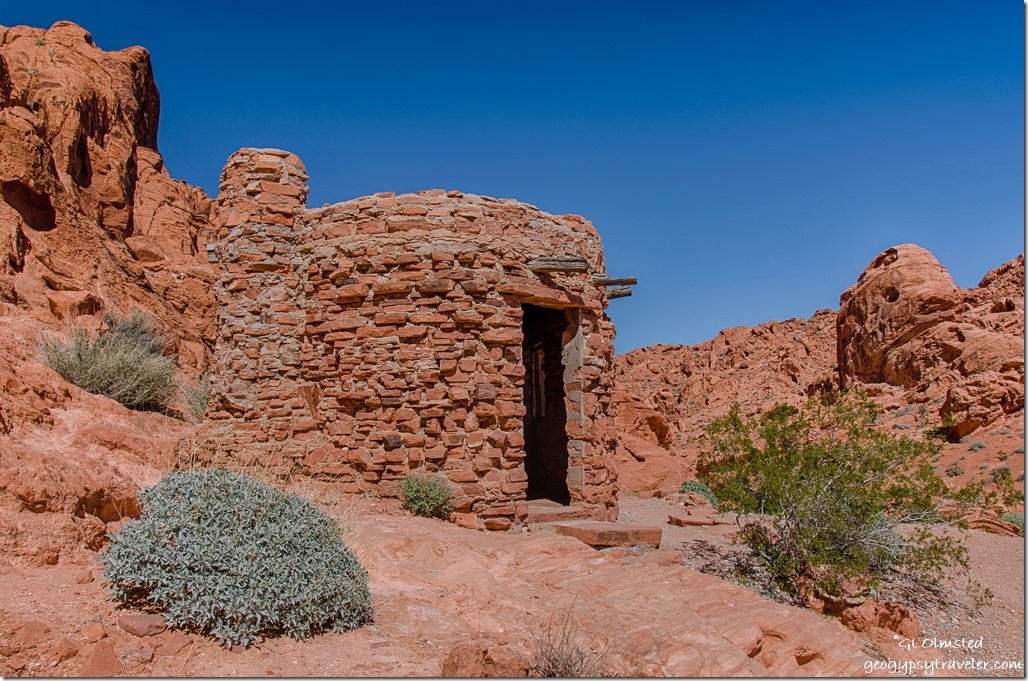
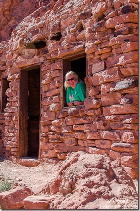
The Cabins Valley of Fire State Park Nevada

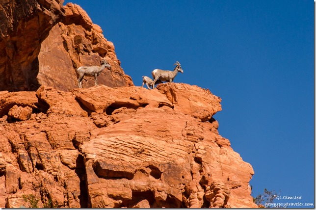
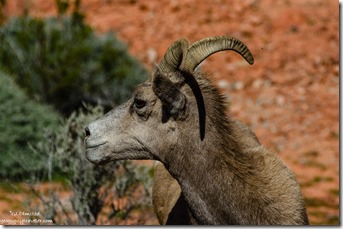
Sandee The Cabins Valley of Fire State Park NevadaSure sign of something good to see when several vehicles are parked both on and off the road.  Sure enough, we saw big horned sheep high up on the rocks just above the road on the way to see The Cabins.


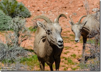
Big horned sheep Valley of Fire State Park NevadaBig horned sheep Valley of Fire State Park Nevada

Then saw them much closer to the road on the way back to camp in the same area.

A fenced off chunk of petrified log.  Poor Sandee was not feeling well, coming down with a cold.  So after we had lunch back at camp, and said hello to Nina, we drove the 25 miles to Overton for some cold medications.
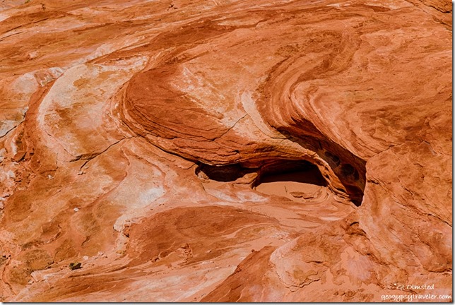
Fire Wave trail Valley of Fire State Park NevadaI’m bummed about the less than tack sharpness of most of the photos, and of course only sharing what I consider “the best” yet out of 130 photos the first day only 23 where rated with one star out of five.  So many seem totally out of focus.  That’s only about 6% success.  Is it me or the camera?  Valley of Fire sure would be a great place to take a photography workshop if I could afford it.
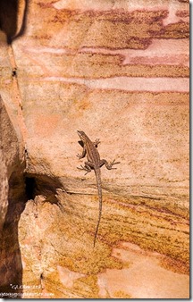
Lizard colorful sandstone Prospect trail Valley of Fire State Park NevadaFriday morning Sandee and I went looking for Arch Rock just down the road from camp.  We wandered into an alcove of rocks squinting into the morning sun searching for the arch with no luck.  Finally gave up and discovered it’s actually right along the road even though the park’s map clearly shows a trail.  And I didn’t even take a photo of it.


Petroglyphs by Atalatal Rock Valley of Fire State Park Nevada

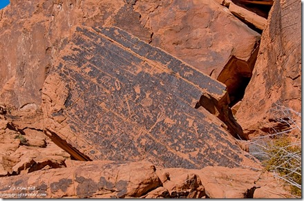
Then we went around the corner, of a huge rock formation, and wandered next to the cliff face finding many petroglyphs pecked into the varnish up to 2300 years ago.  I wandered a little farther than Sandee who still not feeling well returned to sit on a picnic table in the shade.  When she walked away she left her phone behind which she quickly discovered when we returned to camp.  Definitely a moment of panic as she was leaving the park to return to Mesa.  She drove back to the table, then to the visitor center.  When I got into the camper I saw she’d left her boots behind.  So I hurried to the visitor center hoping to catch her there.  Sure enough, someone had picked up her phone and given it to a Ranger who was bringing it to the visitor center.  So off she went with all her stuff, but still not feeling up to snuff.
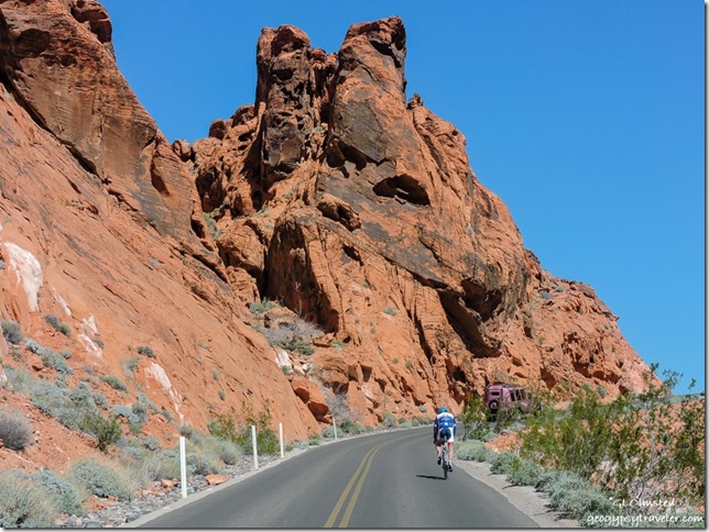
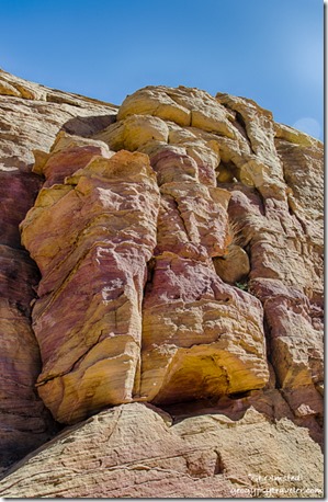
Bicycle Pink Jeep White Domes Road Valley of Fire State Park NevadaFrom there I drove to the end of the White Domes scenic road, delightfully narrow, twisty, and rolling through mounds, and past walls of sun warm colors, burnt oranges, dusty whites, soft pastel yellows, pinks, and lavenders.  I love twisty roads until I come around a blind curve and discover a staunchly peddling bicyclist.  No shoulder.  No way to pass.  No offense to those who bike but it seems especially dangerous on this type of road.

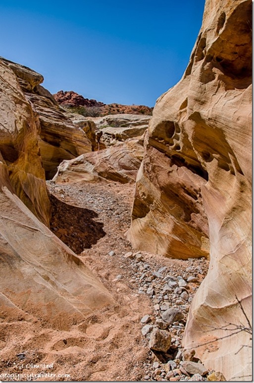
Colorful sandstone White Domes trail Valley of Fire State Park NevadaSlot canyon White Domes trail Valley of Fire State Park Nevada

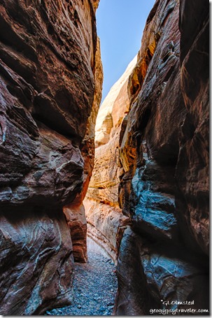
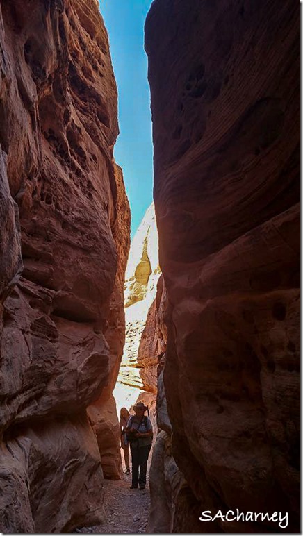
I started the White Dome loop trail counterclockwise, backwards of most hikers, to avoid slugging through the deep soft sand then only went a little ways to the Prospect trail.  Opposite that trail junction a short slot canyon offered a cool reprieve from the mid-day sun where I chatted with a photographer carrying a tripod and two cameras.  Roman is from the east coast but comes west often and we knew some of the same photographers.  I noticed someone had scratched a tic-tac-toe on the graceful canyon walls and took a hand-sized piece of sandstone to wipe it off.  I will never understand this mentality of desecrating the beauty one comes to see.
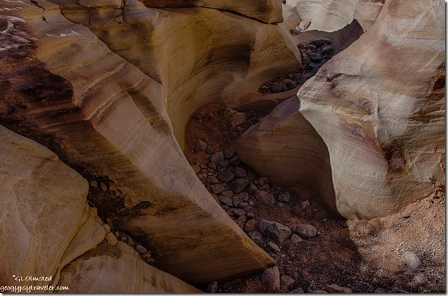
Colorful sandstone Prospect trail Valley of Fire State Park Nevada

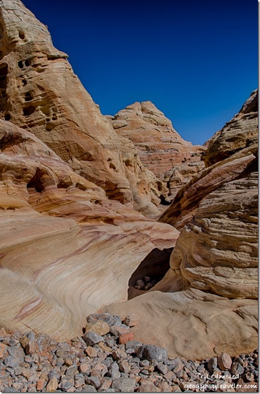
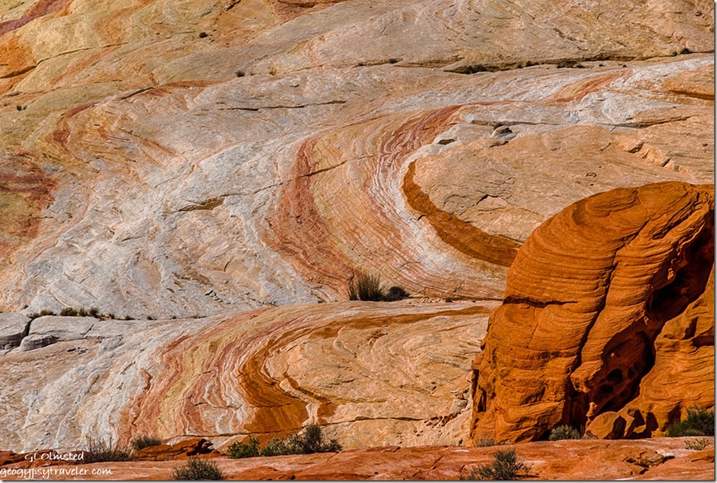
Colorful sandstone Prospect trail Valley of Fire State Park NevadaThen I wandered into the sinuous curves of the less traveled Prospect trail captivated by the swirling layers of colors.
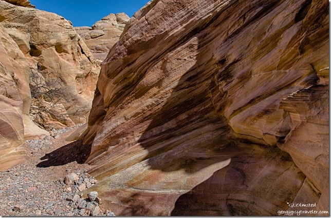
Colorful sandstone Prospect trail Valley of Fire State Park Nevada

Colorful sandstone Prospect trail Valley of Fire State Park NevadaI didn’t make it far or fast and after about an hour Nina’s group of hikers showed up and I walked back out with them.
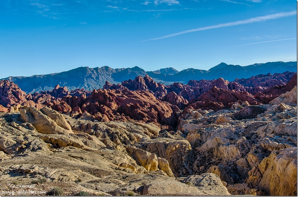
Fire Canyon Valley of Fire State Park NevadaNext I drove out the Fire Canyon Road and at the end discovered a signal so tried to catch up a little online.

Gaelyn & Nina slot canyon Valley of Fire State Park Nevada by Sacha Ann CharneyGaelyn & Nina

Then back to camp before sunset when the road is closed and Nina invited me over for taco dinner along with her friend Sacha who had worked with her at Yellowstone for a couple of seasons and is now at the South Rim Grand Canyon.  It’s a small National Park Service world.

Saturday was my last day in the park and not an early start.  I helped Nina with her first RV, a vintage 1972 trailer.  I showed her how to light the fridge and the oven pilot.  We chatted and soon it was after noon and I had decided not to pay for another night but instead head to Quartzsite for a solar repair.  That’s another story.  But instead I discovered a desperate need for propane so drove the 20 miles north to Overton where I couldn’t get propane then another 25 miles, north mind you, to Glendale.  On the way back south of Overton the winds increased from the southeast so I stopped at Snowbird Mesa to boondock for the night.  Thought I’d be blown further north with 30 mph gusts rocking the rig all night.

Camping in Valley of Fire – get there early as campgrounds fill quickly

Half the 44 camp sites in Atalatal Rock campground have water and electric the other half are semi-primitive.  This campground offers showers and modern restrooms.  Arch Rock campground offers 29 more primitive campsites and pit toilets.  Most of the sites are just big enough for two standard sized vehicles yet I saw some up to probably 35 foot RVs crammed in even there.  No cell signal at all in camp however a weak signal worked at the visitor center and better popped up while driving around.
Fire Wave Valley of Fire State Park NevadaHiking in Valley of Fire – the easy trails

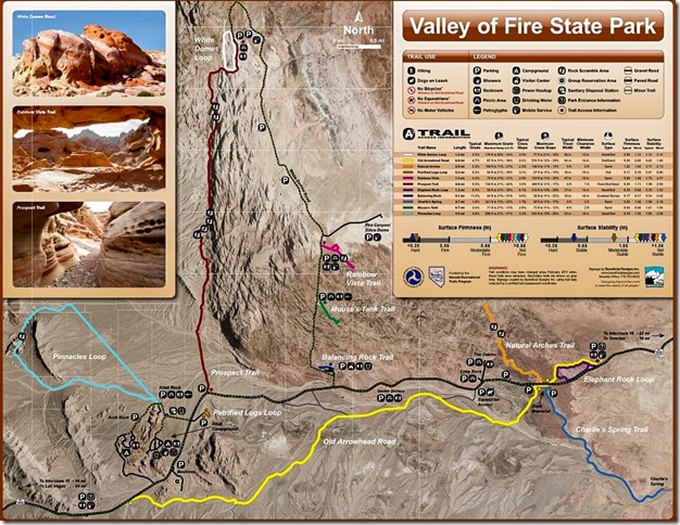
The petroglyphs at Atalatal Rock are almost within sight of the parking lot.  Several short easy trails lead through spectacular contoured sandstone canyons.  Mouse’s Tank .75 mile round trip trail passes canyon walls covered with petroglyphs.  Elephant Rock trail’s 1.2 mile loop speaks for itself.  White Domes 1.25 mile loop includes sand dunes and slot canyons.  The .6 mile trail to Fire Wave passes shale and conglomerates on the way to the sandstone swirls.

Valley of Fire State Park trail map

There is a $10 entrance fee for day use which is included in camp fees.  I highly recommend downloading the map from Valley of Fire’s website as the one handed out isn’t very good.

 

Save

Push my buttons!

  • Click to share on Facebook (Opens in new window) Facebook
  • Click to share on X (Opens in new window) X
  • Click to share on LinkedIn (Opens in new window) LinkedIn

Like this:

Like Loading...
National Parks and Monuments, Nevada, Valley of Fire State Park arches, camping, flowers, hiking, sandstone 14 Comments
27 February 2017

Hiking in Organ Pipe Cactus National Monument

February 19-22, 2017

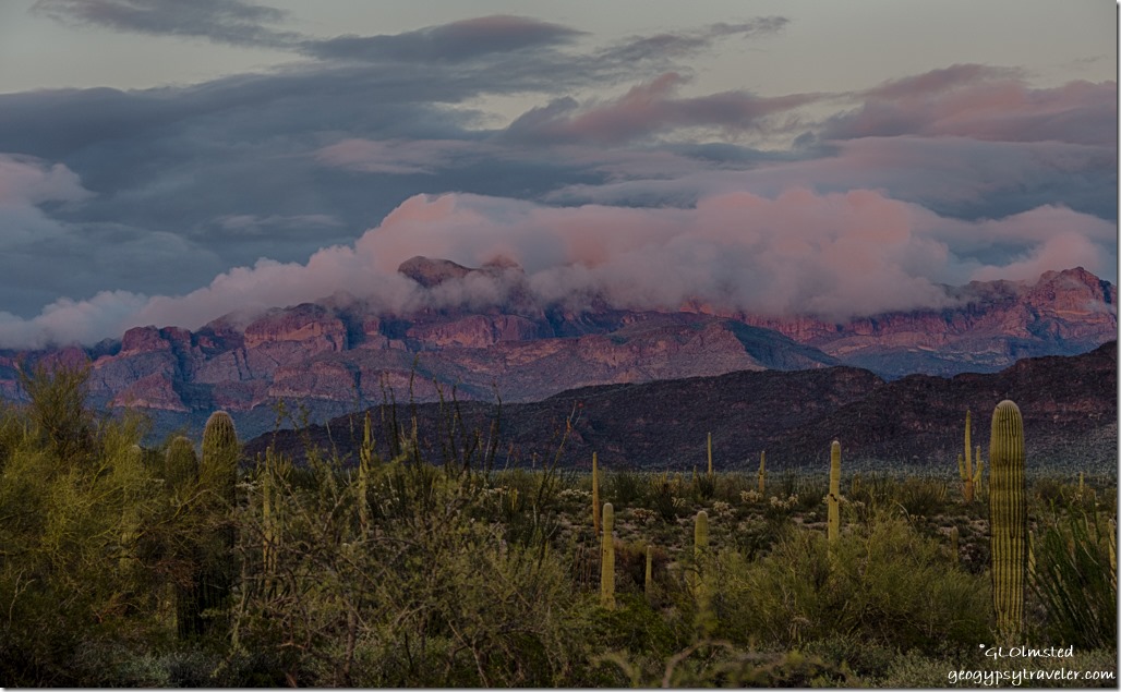
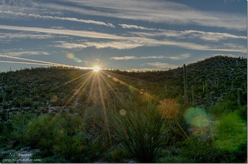
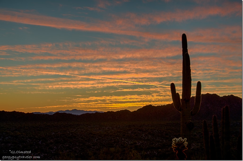
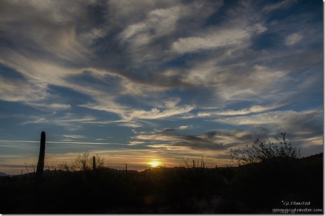
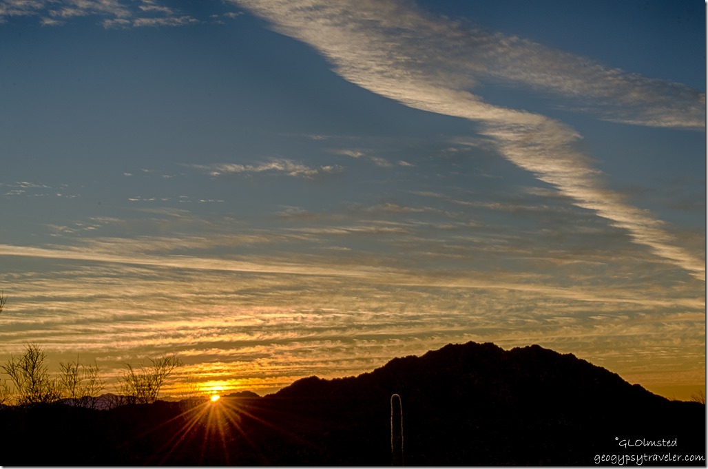
Sunset cactus low clouds Ajo Range Organ Pipe Cactus National Monument ArizonaAfter boondocking for almost a week along Darby Well Road I returned to the park on Sunday to go hiking in Organ Pipe Cactus National Monument on Monday with Ranger Cynthia.  Woke up to a gorgeous morning and a predicted perfect 70° for hiking.

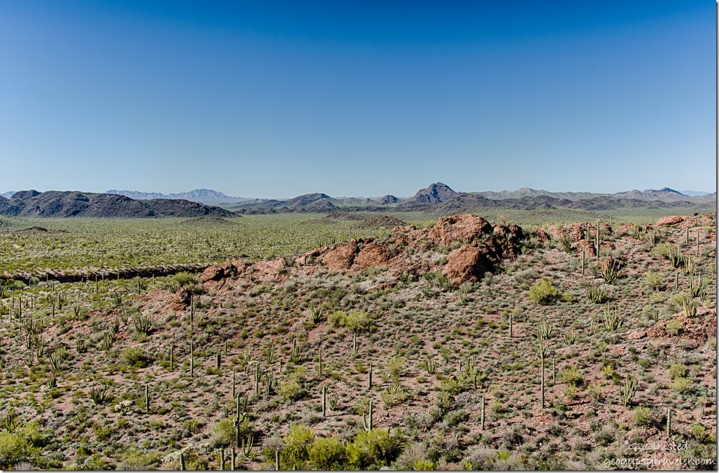
View West above Diablo wash Ajo Mountain Drive Organ Pipe Cactus National Monument ArizonaMet Cynthia at the visitor center at 9:30 and we took off on the Ajo Mountain Drive for the trail head.  But there was call for several stops along the way because there’s just so much to see and explore.

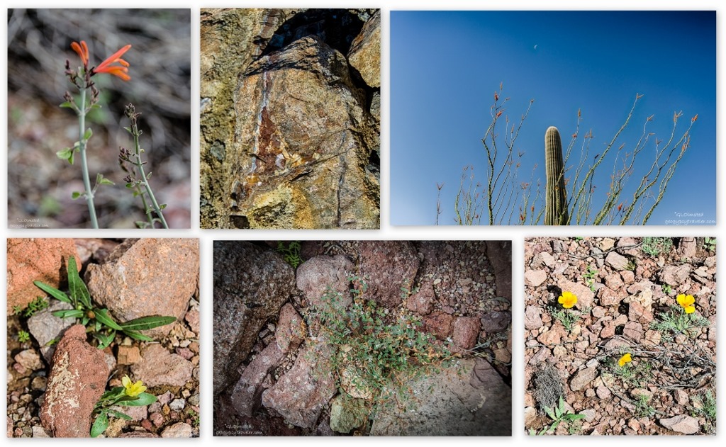
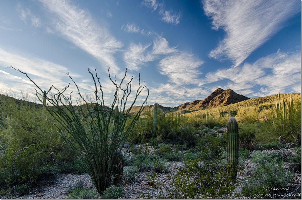
Plants & rock Mountain Drive Organ Pipe Cactus National Monument ArizonaWith two days of rain things were starting to bloom.  Tiny plants sprouting, Mexican poppies popping, vetch, a whole lot of plants I don’t know, and bees out pollinating.  Plus a wide variety of rocks to ohh and ahh over like quartz, agate, jasper, rhyolite, obsidian and more.  A botanists and geologists dream.

Fruiting barrel cactus Estes Canyon trail Mountain Drive Organ Pipe Cactus National Monument Arizona

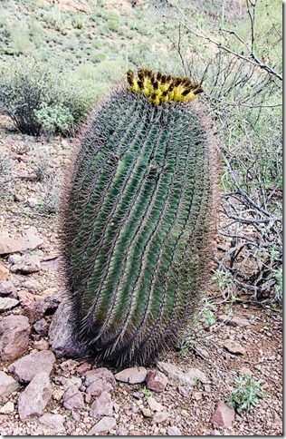
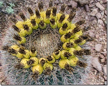
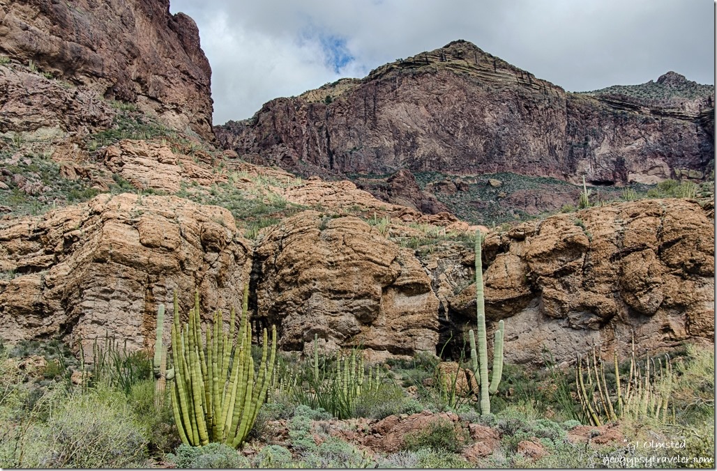
Fruiting barrel cactus Estes Canyon trail Mountain Drive Organ Pipe Cactus National Monument ArizonaFinally by almost 1pm we began hiking the 3.2 mile Estes Canyon loop trail.  So much to see in this lush Sonoran Desert we were constantly distracted.  A 5 foot barrel cactus covered in fruit appears to balance on a small pedestal, it’s swirling pattern invited me to balance on toes and carefully reach the camera over the top.


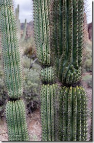
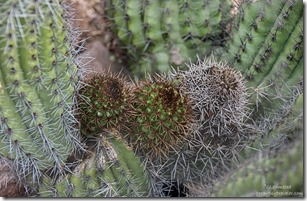
Frost stress organ pipe cactus Estes Canyon trail Mountain Drive Organ Pipe Cactus National Monument ArizonaYoung growth organ pipe cactus Estes Canyon trail Mountain Drive Organ Pipe Cactus National Monument ArizonaI especially like hiking with a Park Ranger as I learn so much about this unfamiliar landscape.  There’s new growth nestled among the taller columnar arms of the organ pipe cactus.  The pinched in areas which appear extra loaded with spines are caused by frost stress.


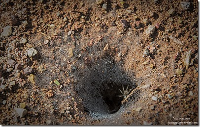
Wolf spider in web with dew Estes Canyon trail Mountain Drive Organ Pipe Cactus National Monument ArizonaThe rainbow sparkling dew catches our attention to a wolf spider hanging out its tunnel burrow waiting for some unsuspecting insect prey to come by.  Guess we didn’t look like food or a disturbance so no motion or aggression.


Ajo Mountains Estes Canyon trail Mountain Drive Organ Pipe Cactus National Monument Arizona

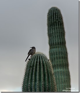
Curve-billed thrasher on saguaro Mountain Drive Organ Pipe Cactus National Monument ArizonaCynthia recognizes several bird songs as they mostly hide in shadow or flit by too fast for a photo.  But the curve-billed thrasher poses on plumped up saguaros standing just a little taller after the thirst quenching rain.

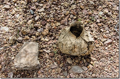
Saguaro boot Estes Canyon trail Mountain Drive Organ Pipe Cactus National Monument Arizona

Birds make nesting holes through the saguaro’s skin and skeleton.  In response, the saguaro secretes a resinous sap that over time hardens into a bark-like shell preventing the loss of fluid while also protecting the nest hole by making it waterproof.  Yet it’s not ready for use as a nest until a year after its creation.  After the cactus dies and rots apart these shells are revealed called saguaro boots.  Native Americans used the boots to store or carry water and this one definitely had a pot-like shape.

Estes Canyon trail Mountain Drive Organ Pipe Cactus National Monument Arizona

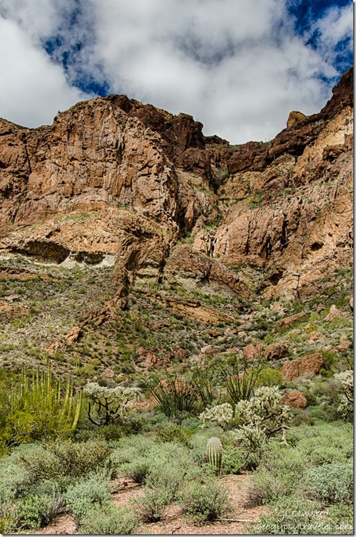
Estes Canyon trail Mountain Drive Organ Pipe Cactus National Monument ArizonaDeeper into the canyon I could hear flowing water and see the evidence of wet rock where water had at least cascaded down the cliff faces a few days before, after the recent rains. yet it would have been an off-trail scramble to find the elusive flows into these magical micro-environments.


Estes Canyon trail Mountain Drive Organ Pipe Cactus National Monument ArizonaLook closely high on the cliff for the bull’s head and two huge horns, thus the name for Bull Pasture

The trail was easy to follow winding up and down across several washes.  Figured we’d hiked about two miles and just shy of the junction with the Bull Pasture trail where we would have completed the loop but even with binoculars we couldn’t see where the trail went and because it was getting late in the afternoon we turned around.  Ya’ know, that’s OK because I always see different things and views on the way back.

Ajo Mountains Estes Canyon trail Mountain Drive Organ Pipe Cactus National Monument Arizona

Fruit chain cholla Estes Canyon trail Mountain Drive Organ Pipe Cactus National Monument ArizonaWas a little faster walk back and when we returned to the parking saw the map and figured we were not more than 1/4 mile from the junction when we turned around.  Next time, start on Bull Pasture and do the loop counterclockwise.

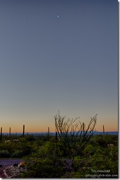
Sunrise crescent moon Organ Pipe Cactus National Monument Arizona


Tuesday was my last full day in the monument, unless I returned for a third time.  I was actually awake to see the soft colors of first light and a sliver of moon.  Also woke up with sore calf muscles from the water-bar steps from the previous day.


Last light Puerto Blanco Mountains Desert View trail Organ Pipe Cactus National Monument Arizona

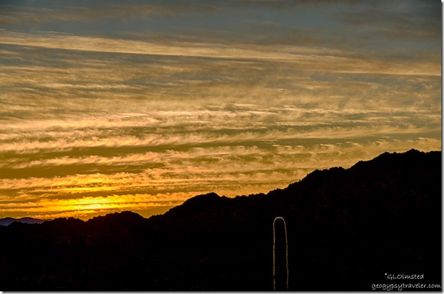
Sunset Desert View trail Organ Pipe Cactus National Monument ArizonaFelt like a couch potato so stayed in most of the day working on blog posts.  Yet I was determined to see sunset from the Desert View trail.  Didn’t make that whole 1.2 mile loop because I waited too late.  Then had difficulty finding the end of the loop trail to the shortest view.  So I settled with watching the sun sink behind the nearest peak then head back to camp when a man asked me if I knew where the trail head was.  Glad I’m not the only idiot.  We wandered back to the parking lot and found a map kiosk near the bathrooms in the group camp area.  Finally found the correct trail which went past a group of campers.

Sunset Sonoyta Mountains Desert View trail Organ Pipe Cactus National Monument Arizona

Sunset Sonoyta Mountains Desert View trail Organ Pipe Cactus National Monument Arizona

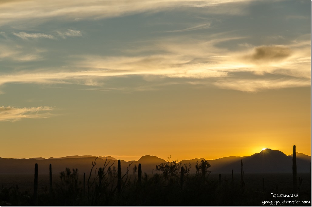
Sunset Sonoyta Mountains Desert View trail Organ Pipe Cactus National Monument ArizonaHe took off up, literally, the switchback trail and danged if I didn’t follow making it just in time to catch the sunset.

Reverse sunset Diablo Mountains Desert View trail Organ Pipe Cactus National Monument Arizona

Sunset campground Sonoyta Valley Desert View trail Organ Pipe Cactus National Monument ArizonaThe colors spread and changed in 360° even showing up above the campground in the Sonoyta Valley below.  What a marvelous send off to a place I already need to return to because there’s way more hiking in Organ Pipe Cactus.

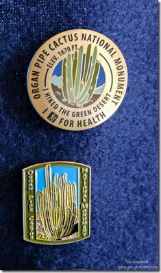
Healthy hiker & Organ Pipe Cactus National Monument pins


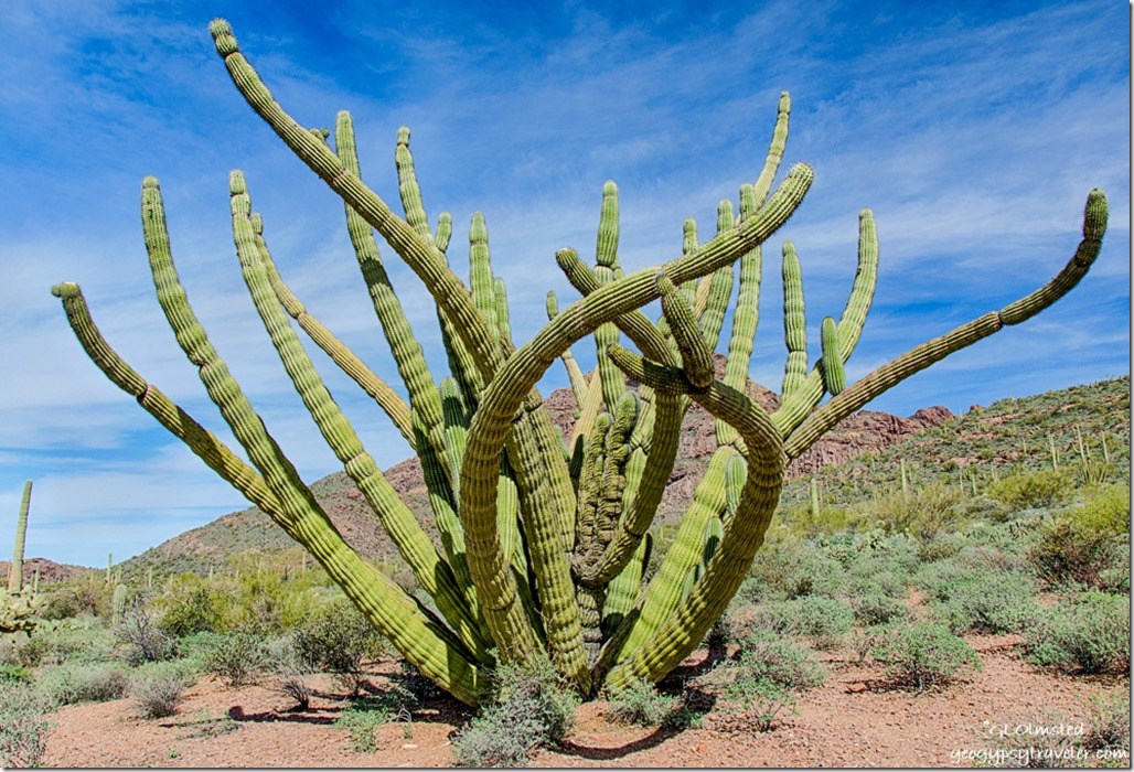
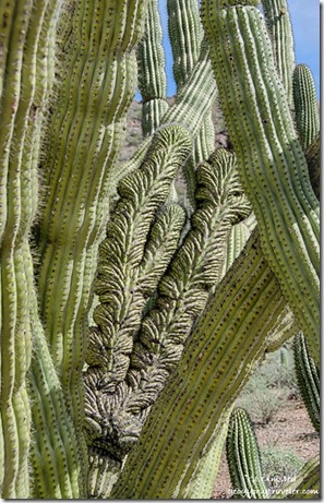
I said a sad goodbye to Cynthia and her park Wednesday morning after receiving my Healthy Hiker pin to add to the growing collection.  And where do you suppose I went, back to Darby Well Road to investigate yet another crested organ pipe cactus before beginning my journey home.

Save

Save

Save

Save

Save

Push my buttons!

  • Click to share on Facebook (Opens in new window) Facebook
  • Click to share on X (Opens in new window) X
  • Click to share on LinkedIn (Opens in new window) LinkedIn

Like this:

Like Loading...
Arizona, National Parks and Monuments, Organ Pipe Cactus National Monument hiking, Sonoran Desert 10 Comments
15 February 2017

Exploring the diversity of Organ Pipe Cactus National Monument

February 7-11, 2017

After camping off Darby Well Road for several days I went exploring Organ Pipe Cactus National Monument about 30 miles south.  This national monument is listed as a showcase for the lush and diverse Sonoran Desert with its extreme temperatures and limited rainfall where all species must adapt to survive.

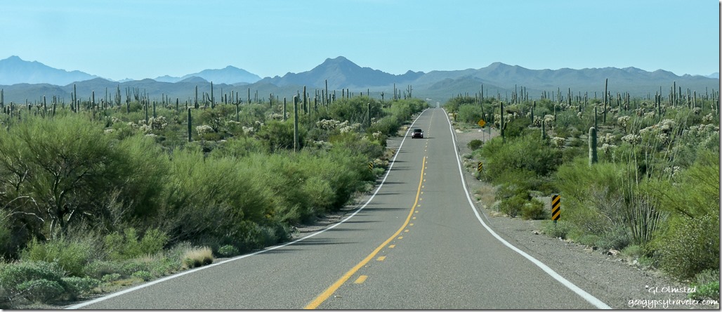
SR85 South Organ Pipe Cactus National Monument ArizonaOnly a few miles past Why there is a Border Patrol inspection station but southbound traffic wasn’t being stopped.  I’m sure with the multiple speed bumps a camera has time to take a photo of your license plate and there’s not too many places to easily run away.  Guess I passed inspection as I didn’t get arrested over the four days in the monument and saw plenty of border patrol vehicles while driving the back roads.

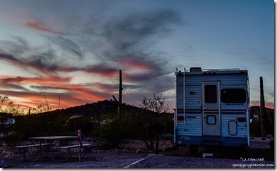
Camper Organ Pipe Cactus National Monument ArizonaTuesday was my first day in the park and I paid for two nights at Twin Peaks Campground which even though large with first-come first-served can fill up during the winter months.  Most sites are pull-through with the last few rows set aside for no generators and tent camping where I parked.  And with my Senior Pass providing half off it was like getting two nights for the price of one.


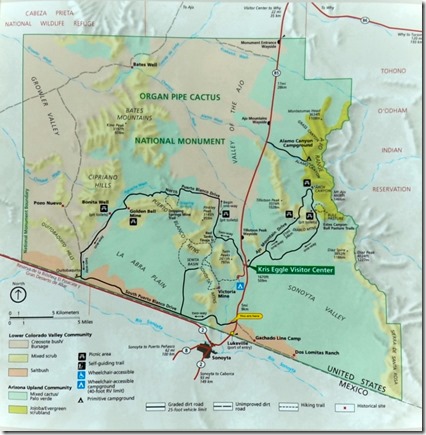
Map Organ Pipe Cactus National Monument ArizonaSecond stop, the visitor center where I found my friend Cynthia, picked up all the park literature, and attended a Ranger program where I ran into Michael, Imkelina, and their dog Sydney.  Of course I picked up Junior and Not so Junior Ranger books.  I love the idea of an adult version and would love to see us do this at Grand Canyon. Back to camp for lunch and a cold solar shower which was brief but still felt good.


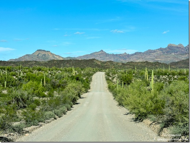
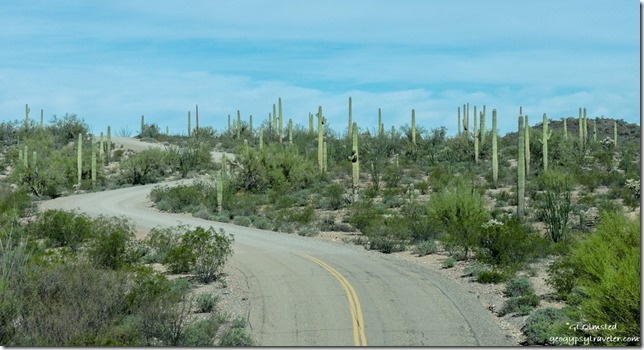
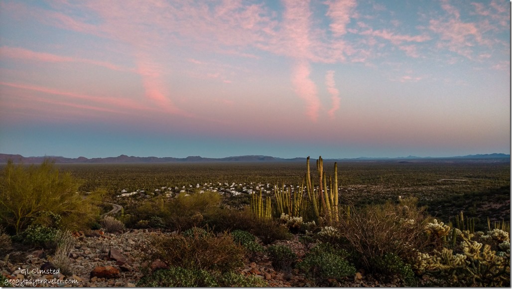
Ajo Mountain Drive Organ Pipe Cactus National Monument ArizonaThen I took off to drive the 21-mile slightly rough gravel Ajo Mountain Drive, a fantastic loop up, over, and around the Diablo Mountains.  Ask for the guide at the visitor center, which I had with me but forgot to use that day.  And get an earlier start than my 3:30pm because it’s not only a slow drive but you’ll want to make many stops along the way.

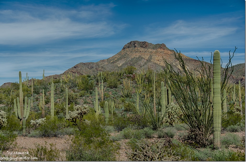
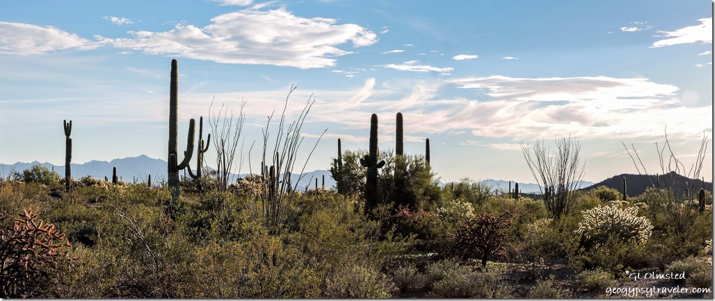
Ajo Mountain Drive Organ Pipe Cactus National Monument ArizonaThe Sonoran Desert stretches for 120,000 square miles through Arizona, California, and into the Mexican states of Sonora and Baja California.  It is the only place in the world where the saguaro (sa-WA-roh) cactus grows naturally.  As the largest cactus in the US, the saguaro grows very slowly, up to 50 feet tall in about 125 years.  Palo verde trees often serve as “nurse” trees for saguaro seedlings providing shelter until they are established.  As the cactus matures it competes with the tree for moisture.  Palo verde have deep roots to seek the water table while saguaro have shallow spreading roots to gather the water from rains.  The saguaro in turn provides food and shelter for many species of birds, mammals, and insects with payback when insects and bats pollinate its flowers, and other wildlife eat its fruit and disperse its seeds.  Everything works together to maintain this intricate, well balanced community.
Ocotillo blooms Ajo Mountain Drive Organ Pipe Cactus National Monument Arizona

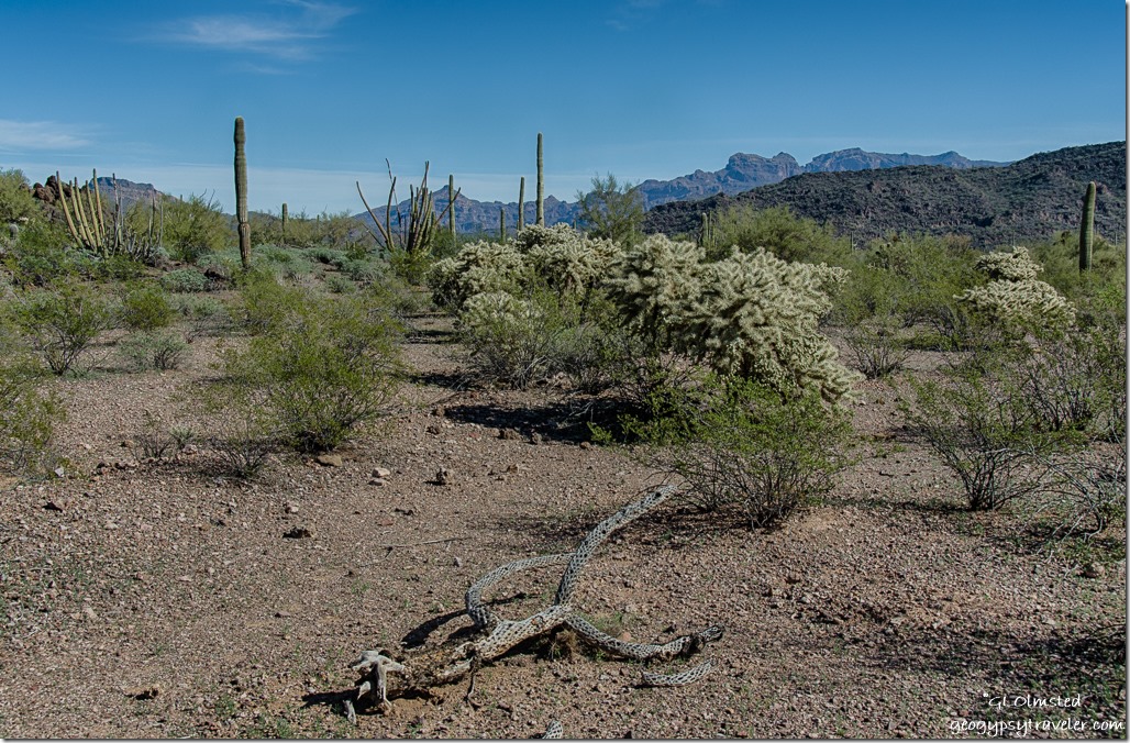
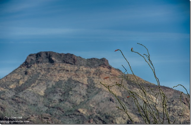
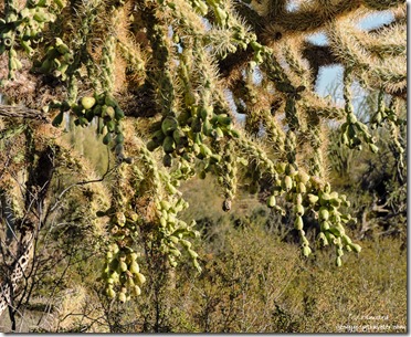
Chainfruit cholla buds Ajo Mountain Drive Organ Pipe Cactus National Monument ArizonaA seasonal pattern of light winter rains and heavy summer thunderstorms make the Sonoran Desert lush compared to other deserts.  Creosote bushes grow everywhere interspersed with prickly pear cactus and thorny mesquite trees. Multiple species of cholla (CHOY-yuh) hung heavy with buds. The fountain-like stalks of the ocotillo (OH-koh-TEE-yo) were covered in rows of tiny dark green leaves and a few burst at the tips with brilliant red flowers.  Despite the long sharp thorns this is not a cactus but a shrub that drops all leaves during dry times and resembles a bundle of sticks.

Ajo Mountain Drive Organ Pipe Cactus National Monument Arizona

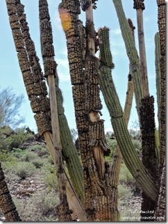
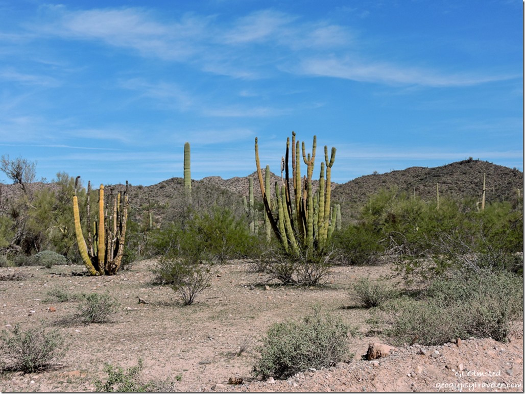
Organ Pipe Cactus South Puerto Blanco Diver Organ Pipe Cactus National Monument ArizonaAnd of course the name sake organ pipe cactus named by early settlers thinking the dead cacti looked like church pipe organs.  And here I thought it was because the organ pipe is said to hum in the wind.  Because severe frosts can kill this cactus it typically grows on southern slopes where it can absorb the most sun and its range doesn’t go much further north than the national monument.

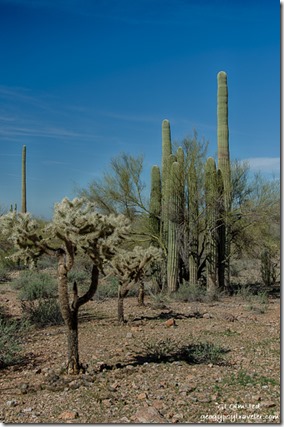
Cholla, palo verde, saguaros South Puerto Blanco Drive Organ Pipe Cactus National Monument Arizona


Because of recent rain the whole desert looked extremely lush in many shades of green.  At my many stops along the drive I wandered a sinuous/snakey path on rocky soil using extreme caution not to bump into any of this prickly growth.


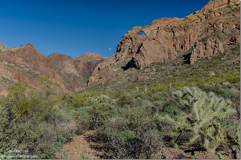
Waxing moon Arch Canyon Ajo Mountain Drive Organ Pipe Cactus National Monument ArizonaThen I’d drive a little closer towards the Diablo Mountains.  This landscape is made up of steep, blocky mountain ranges that alternate with the flat, narrow valleys, part of the Basin and Range that covers much of the Southwest.  The surrounding mountains were created by the eruptions of ancient volcanoes.  Hot ash blown from these volcanoes fell in layers and as the ash cooled it solidified into rock called ash-fallWaxing moon Arch Canyon Ajo Mountain Drive Organ Pipe Cactus National Monument Arizona tuff.  This is topped by rhyolite flows which would have moved slowly across the land scraping up fragments of other rocks and cementing them together to form a new rock called breccia.

Waxing moon Arch Canyon Ajo Mountain Drive Organ Pipe Cactus National Monument Arizona

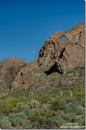
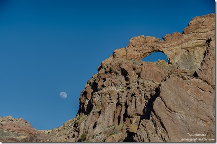
I came around a curve and couldn’t believe my luck with the waxing moon hanging over a saddle to the left of an arch.  There is a .6 mile trail into Arch Canyon but it was getting late in the afternoon so I just enjoyed the view feeling fortunate to have caught this moment.

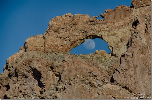
Waxing moon in Arch Canyon Ajo Mountain Drive Organ Pipe Cactus National Monument ArizonaI gave a look back as I continued down the road and couldn’t believe my luck seeing the moon through the arch, a serendipitous moment.  Do you see it’s a double arch?   I didn’t see any wildlife except a few birds probably because it was the middle, and hottest, part of the day.

Ajo Mountain Drive Organ Pipe Cactus National Monument ArizonaI returned to camp just before sunset thinking I’d attend the Ranger’s evening program with Cynthia but I was just too tired from the long day and really wanted to see the photos I’d taken of this indescribable desert landscape.  I’m really trying, or it’s really tying, to use the tripod more frequently.  I’ve noticed that my hand-held shots are often not sharp.  But that dang tripod is heavier than the camera.

Wall South Puerto Blanco Drive West Organ Pipe Cactus National Monument Arizona

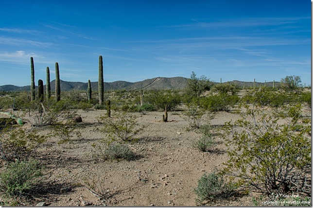
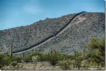
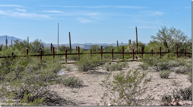
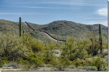
Wall South Puerto Blanco Drive West Organ Pipe Cactus National Monument ArizonaWednesday I headed for the 14 mile South Puerto Blanco Drive that winds through the Sonoyta Mountains to the La Abra Plain which parallels the US and Mexican border. Signs warn of smugglers telling you not to stop or leave your vehicle unattended.  I saw several border patrol vehicles along this rough road while within sight in Mexico is a nicely paved road.  I became distracted and obsessed with the wall—which is mostly just a fence—to the point I couldn’t appreciate the beauty of the desert.  Does the land know it belongs to different people?

Wall-fence South Puerto Blanco Dr[ve West Organ Pipe Cactus National Monument Arizona

Wall South Puerto Blanco Drive East Organ Pipe Cactus National Monument ArizonaAll I could think about was Pink Floyd.  I could have parked, walked under the fence, and gone for lunch at a café within sight.  Of course I’d have taken my passport with me.  After about five miles with the road getting progressively worse I turned around.


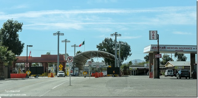
Lukeville border crossing SR85 South Organ Pipe Cactus National Monument ArizonaAfter returning to pavement I drove the mile south to Lukeville at the border crossing.  I had no intention of crossing but just had to look.  Not much there but did top off with fuel. Good thing because another person at the pump said no diesel in Why that day.

Cacti moon Ajo Range Organ Pipe Cactus National Monument Arizona

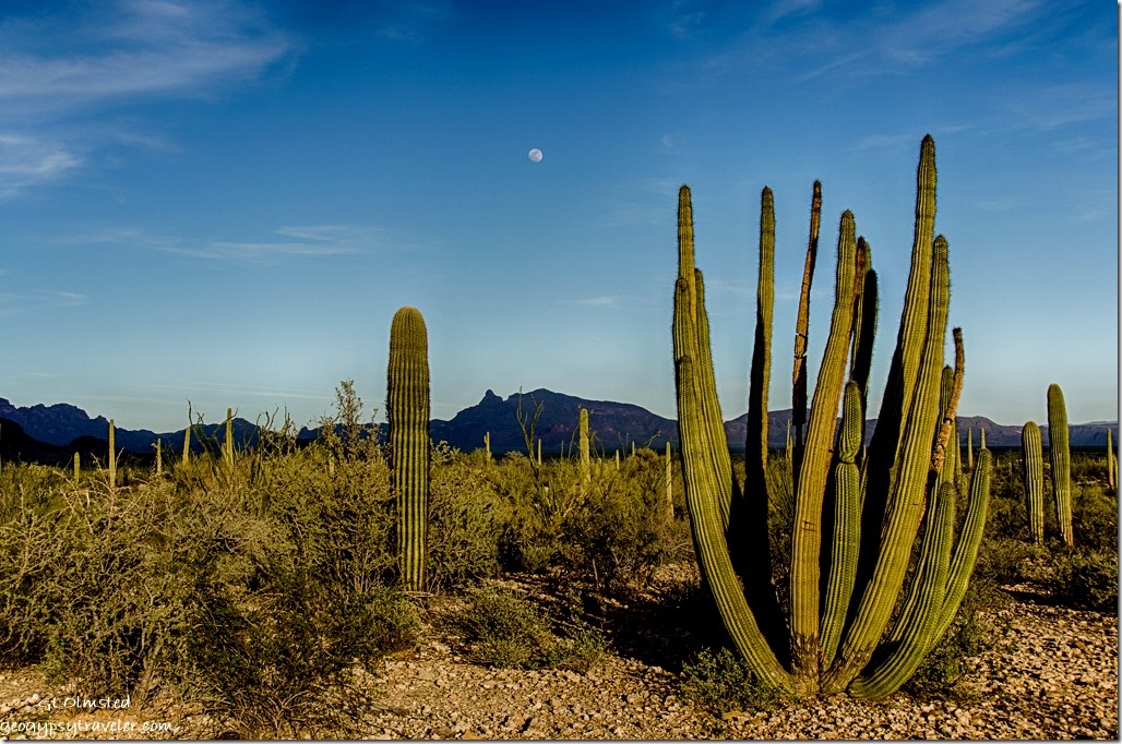
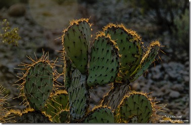
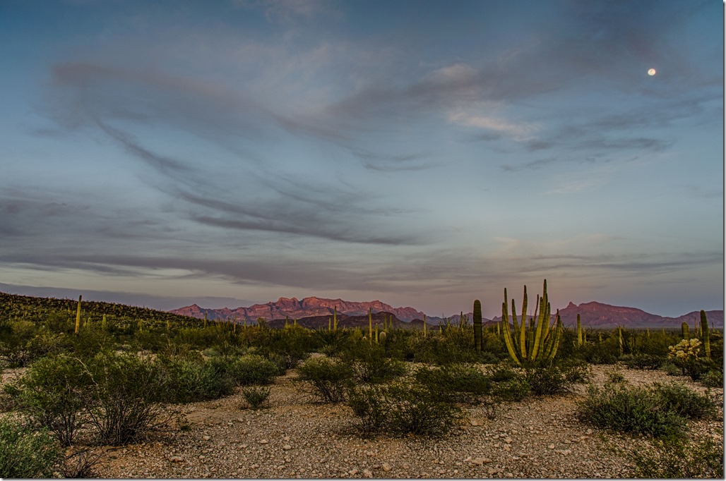
Glow prickley pear cactus Organ Pipe Cactus National Monument ArizonaI paid for two more nights at the campground then wandered in my current back yard.  My site on the outside loop offered nothing but desert beyond.  The moon seemed to look down on the land.  And as the sun sank the desert life took on a golden glow.


Sunset Organ Pipe Cactus National Monument Arizona

Sunset light Ajo Range & moon Organ Pipe Cactus National Monument ArizonaAfter sunset I went to the evening program about the brilliance of planets we can see with the naked eye.  Venus was visible but the sky was dominated by the almost full moon.

Sunrise Organ Pipe Cactus National Monument ArizonaThursday I returned to the Ajo Mountain Drive with another late morning start even though I was up for sunrise.

Crested saguaro Ajo Mountain Drive Organ Pipe Cactus National Monument Arizona

Crested Organ Pipe Cactus Ajo Mountain Drive Organ Pipe Cactus National Monument Arizona

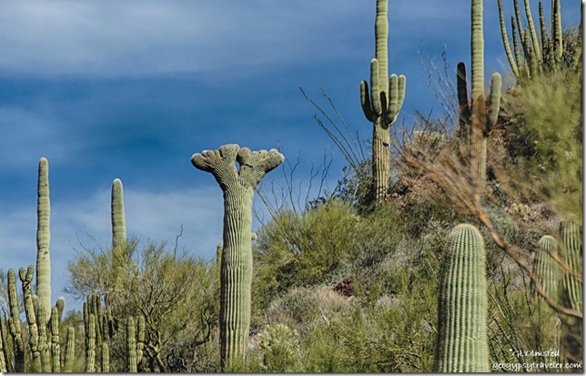
Crested Organ Pipe Cactus Ajo Mountain Drive Organ Pipe Cactus National Monument ArizonaThis time I used the guide stopping at all the numbered points along the way.  And, this time I saw crested, or cristate, cactus.  First a saguaro and then an Organ Pipe Cactus.  According to the guide cactus have growth cells on the tips of their arms that grow in a circle.  But some growth cells form a straight line that creates the crest.  There are several scientific hypothesis but this beautiful phenomenon is still unexplained.

The suggested time for the entire loop drive is two hours.  At 3 1/2 hours I was only about half way.  I often drive no more than 5mph because 15mph seems too fast to whiz past the landscape.  Traffic was no problem with only a few cars passing me when I used pullovers.  Most drivers weren’t going a whole lot faster than me anyway.


North Puerto Blanco Drive East Organ Pipe Cactus National Monument ArizonaFriday I again started a late morning drive this time on the North Puerto Blanco Drive about five miles to the turn around where the road becomes one way for another 16 miles and requires high clearance and perhaps 4×4 to loop back to the South Puerto Blanco Drive.

Ajo Mountain Drive Organ Pipe Cactus National Monument ArizonaIt was beautiful, but again I wanted to return to the Ajo Mountain Drive so this time only drove the first 2 1/2 miles to the turn around for that one way loop.  Several trails lead from this point but at 104°F I passed on hiking.

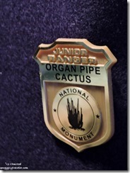
Junior Ranger badge Organ Pipe Cactus National Monument ArizonaI returned to the visitor center to get my Junior Ranger badge the last day of my stay.


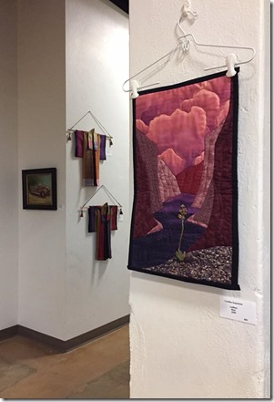
Art Under the Arches by Cynthia Sequanna Ajo Arizona


Then instead of shooting the full moon I went to Ajo with Cynthia to a gallery showing where one of her most awesome art quilt wall hangings was on display.  And by the way she deservedly won best of show for Art Under the Arches.

Petti-point cuff

I bought myself an early birthday present from the store attached to the show.  Just couldn’t help myself with a petti-point turquoise cuff, old pawn, for only $125, a steal of a deal.  Then we went to dinner with some fellow Rangers to the advertised “Best Burger and Craft Brew” at Estrellas.

I was beginning to feel like a local even knowing Rangers by name.  I asked Cynthia who I could volunteer for just to drive the Ajo Mountain Road daily.  Still more to explore, roads, trails, Ranger programs, and maybe flowers coming.  I just might have to return to Organ Pipe Cactus National Monument, soon.

So I may have missed the full moon rise yet figured to get another chance Saturday night.  But as this post is already too long that’s another story.


Save

Save

Save

Save

Save

Save

Push my buttons!

  • Click to share on Facebook (Opens in new window) Facebook
  • Click to share on X (Opens in new window) X
  • Click to share on LinkedIn (Opens in new window) LinkedIn

Like this:

Like Loading...
Arizona, National Parks and Monuments, Organ Pipe Cactus NM cholla, ocotillo, Organ Pipe Cactus 14 Comments
← Older posts
Newer posts →

Hi, I’m Gaelyn, the Geogypsy

I retired after 29 summer seasons as a Park Ranger, traveling solo for 40+ years. My passions include travel, connecting to nature, photography, and sharing stories.

I started exploring US National Parks in 1977 and 20 years later became a seasonal Park Ranger.  I’ve lived full-time in a RV for 30 years working summers and playing winters.  I’m still trying to figure out what I want to be when I grow old, other than grow up.

Let’s share our stories.  Here’s more of mine…

My wheeleastate

I am currently…

…boondocking somewhere in southern Arizona.  In the area, give a shout.

Geogypsytraveler on YouTube

Follow my journey on YouTube. Just click the pic. Hope you’ll like, share, and subscribe.

Click image for 7 minute documentary (Password “geogypsy” lowercase)

Making the Gypsy documentary is a story of its own.  Click below for the rest of the story.

Living nomadically & connecting to nature documentary

Subscribe to Blog via Email

Enter your email address to subscribe to this blog and receive notifications of new posts by email.

Photos available for sale include prints, greeting cards, coffee mugs, tote bags, phone cases and more

Reflected Wave 24X16 metal print under $100

Custom Coffee Mugs

Many items to choose from including prints

The Last Blast 24 x 16″ metal print under $100

Need a signal boost? When I boondock on public lands sometimes signal is weak or intermittent and a booster helps. Click the pic to visit WeBoost.

Connecting to nature and the rest of the world too.

Please contact me for photo purchases not seen at GLOlmsted Photography

Order fulfillment is by Fine Art America. If you’re not happy with your purchase, for any reason, simply return it within 30 days, and you’ll receive a full refund of the purchase price.

Why read Geogypsy?

The gypsy life spring-summer 1998 - "You were a real pioneer. RV'ing before it was cool." ...Yogi

How do you process photos? - “Your photographs create an Emotional feeling in the viewer...that they become One with You.” …Cindy

Life’s transitions between travel and work play - "I know you love your job as much as you love travel -- it shines through all your posts." ...Sallie

Lions at Kruger National Park - “Wonderful post, thank you. I was hooked start to finish!” … Peter B

11 lessons looking back 2013 - “A great post -- made me think, made me smile, made me want to cry." ...Sallie

Wildlife video Kruger National Park - “Gorgeous, this makes me want to go straight to South Africa now.” … Ayngelina

Living nomadically & connecting to nature documentary - “What an experience you had and gave to the "crew." Sometimes I think you don't realize how unique and inspiring you are.” …Alan

Search

Popular Posts

1. Prioritize the well-being of nature over photography. 2. Educate yourself about the places you photograph. 3. Reflect on the possible impact of your actions. 4. Use discretion if sharing locations. 5. Know and follow rules and regulations. 6. Always follow Leave No Trace principles and strive to leave places better than you found them. 7. Actively promote and educate others about these principles

Categories

Archives

Sites I follow, read & recommend

  • A Full-time Life
  • A Yankee in Belgrade
  • Bob's Eyes
  • Box Canyon Blog
  • Camels and Chocolate
  • Dawns bloggy blog
  • In the Direction of Our Dreams
  • Jane in her infinite wisdom
  • Janie and Steve, Utah Trails
  • Kathie's Birds
  • Las Adventuras
  • Memorable Meanders
  • Oh, The Places They Go
  • On the Road Abode
  • Port Elizabeth Daily Photo
  • Stillhowlyntravels
  • Take to the Highway
  • Technomadia
  • the good luck Duck
  • Travel with the Bayfield Bunch
  • Wandering Earl
  • Wheeling It
  • Yogi's Den

Caught in a Slot 9×12 canvas print under $50

If you don’t like what’s going on in your government, contact your Congress

Directory of Senators

Directory of Representatives

Lijit

© Copyright 2008-2024. Geogypsytraveler.com
%d