It was a little too hot to hang out at Toroweap during the day so we drove off to look for some rock art. I told you the road was terrible. Jake guided me over the giant boulders of slick rock to get out of the campground. You Need a high clearance vehicle and I was in 4×4.
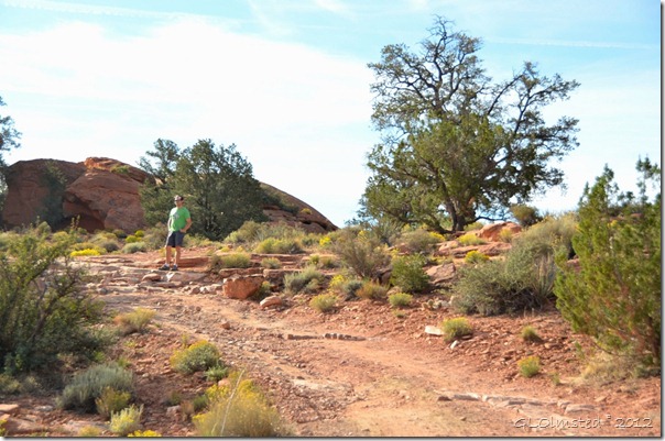
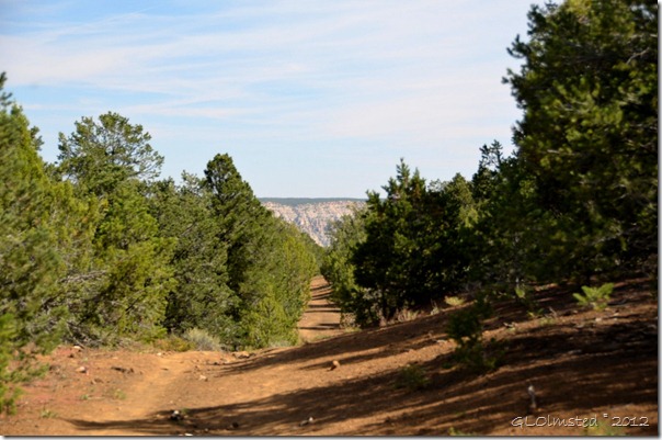
The Nampaweap trail is well named, a Paiute word meaning “foot canyon”, and proved to be an easy walk on an old two-track road.
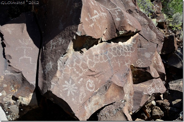
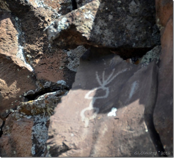
This is one of the largest known rock art sites in northern Arizona and is located in the Grand Canyon-Parashant National Monument. The Archaic people left these behind about 1000 years ago.
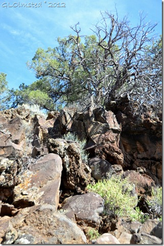
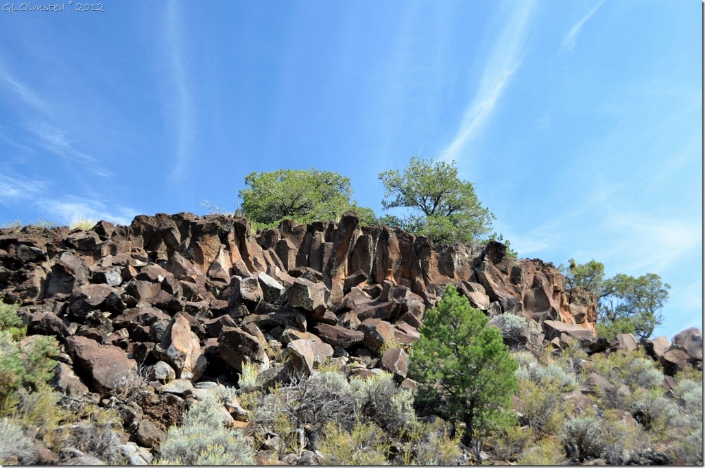
The site is .5 mile (.8 km) long and contains thousands of petroglyphs on hundreds of basalt boulders.
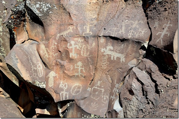
Archaeologists don’t know what most of these designs mean. Use your imagination.
Locals call it Billy Goat Canyon because of the large numbers of mountain sheep in the rock at.
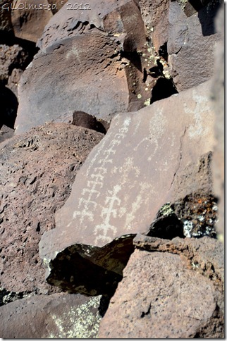
This looks like corn to me. What do you see?
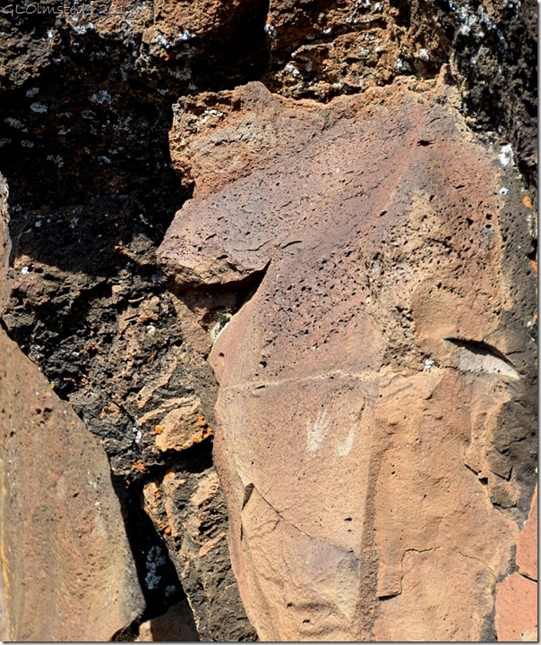
These tiny hands measure about two inches square.
But what the heck is this?
This canyon may have been an important travel corridor from the Grand Canyon to the ponderosa pine country around Mt Trumbull. The site can be accessed off the Mt Trumbull road 3 miles east of the Mt Trumull trailhead sign and visitor register or 3.5 miles west of the Toroweap road. If you visit this ancient rock art site, or any other, please use respect and help protect the site.
To tour more of the world go to Our World Tuesday.

