• Home
  • About Geogypsy
    • Herstory
    • Parks where I’ve worked
  • Places I’ve been
    • United States
      • Arizona
        • Antelope Slot Canyon
        • Casa Grande Ruins National Monument
        • Colossal Cave Mountain Park
        • Flagstaff
        • Glen Canyon National Recreation Area
        • Grand Canyon National Park
          • Grand Canyon National Park North Rim
          • Grand Canyon National Park South Rim
          • Toroweap
        • Havasu Canyon
        • Horseshoe Bend
        • Jerome
        • Kaibab National Forest
        • Lee’s Ferry
        • Meteor Crater
        • Navajo Bridge
        • Oak Creek Canyon
        • Painted Desert
        • Pipe Springs National Monument
        • Prescott
        • Quartzsite
        • Saguaro National Park
        • Sedona
        • Sunset Crater Volcano National Monument
        • Vermilion Cliffs
        • Walnut Canyon National Monument
        • Wupatki National Monument
        • Yarnell
      • California
        • Anzaberrego
        • Bakersfield
        • Death Valley National Park
        • Joshua Tree National Park
        • Redwoods NP
        • Salton Sea
        • Yucca Valley
      • Colorado
        • Mesa Verde National Park
      • Florida
      • Illinois
        • IL River
        • Morton Arboretum
        • Starved Rock State Park
      • Michigan
      • Nevada
      • New Mexico
      • Oregon
        • Crater Lake NP
        • Mt Hood
        • Oregon Caves National Monument
      • Texas
        • Alpine Texas
        • Padre Island
        • Port Isabel
        • Rio Grande Valley
      • Utah
        • Brian’s Head
        • Bryce Canyon National Park
        • Buckskin Gulch
        • Cedar Breaks National Monument
        • Cedar City
        • Coral Pink Sand Dunes State Park
        • Dixie National Forest
        • Grand Staircase Escalante National Monument
        • Johnson Canyon
        • Kanab
    • World Travels
      • Germany
      • Mexico
      • South Africa
  • Tours
  • Photography
  • Work with Me
    • Sponsors
  • Contact
Geogypsy
Menu
  • Home
  • About Geogypsy
    • Herstory
    • Parks where I’ve worked
  • Places I’ve been
    • United States
      • Arizona
        • Antelope Slot Canyon
        • Casa Grande Ruins National Monument
        • Colossal Cave Mountain Park
        • Flagstaff
        • Glen Canyon National Recreation Area
        • Grand Canyon National Park
          • Grand Canyon National Park North Rim
          • Grand Canyon National Park South Rim
          • Toroweap
        • Havasu Canyon
        • Horseshoe Bend
        • Jerome
        • Kaibab National Forest
        • Lee’s Ferry
        • Meteor Crater
        • Navajo Bridge
        • Oak Creek Canyon
        • Painted Desert
        • Pipe Springs National Monument
        • Prescott
        • Quartzsite
        • Saguaro National Park
        • Sedona
        • Sunset Crater Volcano National Monument
        • Vermilion Cliffs
        • Walnut Canyon National Monument
        • Wupatki National Monument
        • Yarnell
      • California
        • Anzaberrego
        • Bakersfield
        • Death Valley National Park
        • Joshua Tree National Park
        • Redwoods NP
        • Salton Sea
        • Yucca Valley
      • Colorado
        • Mesa Verde National Park
      • Florida
      • Illinois
        • IL River
        • Morton Arboretum
        • Starved Rock State Park
      • Michigan
      • Nevada
      • New Mexico
      • Oregon
        • Crater Lake NP
        • Mt Hood
        • Oregon Caves National Monument
      • Texas
        • Alpine Texas
        • Padre Island
        • Port Isabel
        • Rio Grande Valley
      • Utah
        • Brian’s Head
        • Bryce Canyon National Park
        • Buckskin Gulch
        • Cedar Breaks National Monument
        • Cedar City
        • Coral Pink Sand Dunes State Park
        • Dixie National Forest
        • Grand Staircase Escalante National Monument
        • Johnson Canyon
        • Kanab
    • World Travels
      • Germany
      • Mexico
      • South Africa
  • Tours
  • Photography
  • Work with Me
    • Sponsors
  • Contact

Category: COVID-19

19 August 2020

Bryce Canyon COVID summer of 2020 update

Maybe you noticed I didn’t update last week on the Bryce Canyon COVID summer story.  I figure you’re probably tired of reading the same old stuff week after week.  After all, I’m tired of doing the same old stuff week after week.  Not only what to write, but when.  After a nine-hour work day, I’m tired and often not motivated to write.  With only two days off last week I made the first one lazy do nothing and the second a drive to shopping.  Neither very exciting.  I hope it doesn’t sound like I’m complaining, it just is what it is.

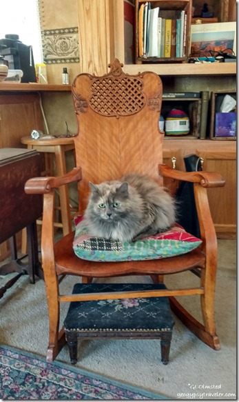
Sierra cat on chair in RV Bryce Canyon National Park UtahOf course, days off include taking care of business.  Two months ago when I checked in with ADOT about the truck license plate tabs expiring mid July their online system said I had a six-month reprieve due to COVID.  Cool!  Yet it bothered me thinking about driving around in Utah with those expired tabs.  So I checked again last week and, supposedly, I needed an emissions test in Maricopa County where my new address is.  Or I can apply for an out-of-state exemption through a contracted, non-government business for $9.50.  Oh, and now ADOT says my tabs are expired.  I get the exemption, and later discover I didn’t need it (what a scam).  But am now able to complete my renewal with ADOT including a late fee.  I gave up trying to call and talk to a human.  Once the new tabs arrive at my Arizona address I’ll have them sent to Bryce.  In the meantime, I hope not to get stopped with expired tabs and only an email receipt.

Oh, and I also registered to vote by mail again because of the change of county since living in Yarnell.  Wonder how long the mail service will take with the current state of affairs?
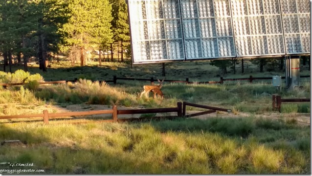
Mule deer by solar array Bryce Canyon National Park UtahAn early morning opening and Mule deer greeting seen from employee parking lot.  The lower corner of a solar array is visible as well.  Provides power to our combination visitor center and administration building.
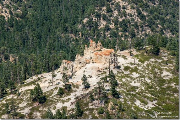
hoodoos trees Bryce Canyon National Park UtahWaking to 40° at 5:30am I turn heat on and wonder if summer is on the way out.  By afternoon 80° feels pretty warm for several hours at Yovimpa Point talking about geology and what ever else visitors are interested in.
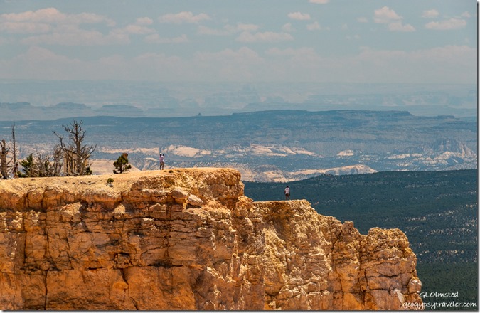
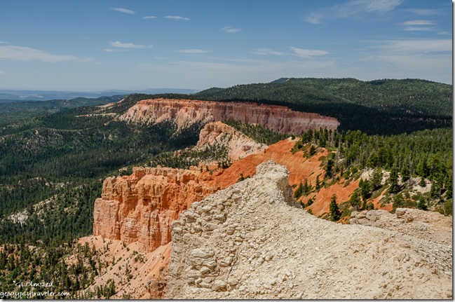
people off trail Suicide Point from Yovimpa Point Bryce Canyon National Park UtahYovimpa Point has become a favorite place in Bryce, even though it lacks the intensity of dramatic hoodoos, just can’t beat the view.  Seems every park has it’s idiot tourons that like to challenge the resource, in this case crumbly rock edges past warning signs.
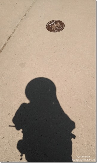
Ranger Gaelyn shadow & social distancing sticker Yovimpa Point Bryce Canyon National Park UtahI’ve been struggling with computer problems for a while trying to stretch every bit of time out of this almost five-year old laptop.  Every time an update occurs more things go wonky and everything slows down even more.  An intermittent problem with a monitor driver causes lines to dance on the screen and I have to reboot, sometimes more than once.  Murphy’s Law dictated that would happen while trying to set up a slide presentation for my 9pm evening program.  After about ten reboots I finally gave up and connected to the projector anyway and the lines didn’t show up on the big viewing screen.  When I got back home it booted up just fine.  Go figure.
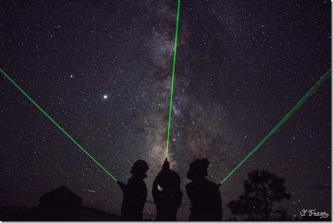
Astro Rangers lazer lights milkyway stars Bryce Canyon National Park Utah by Valerie FazenWork schedules are once again changing due to a reduction in staff.  The two summer astronomy intern students returned to virtual school and Ranger Valerie accepted a permanent job where her boyfriend works.  I went to the going away party at housing’s fire-ring, a rare social outing for me and the only party I’ve attended this summer.  They will all be missed.
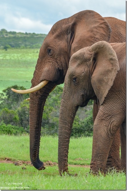
Elephants Addo Elephant National Park South AfricaAugust 12th—my lazy day off—was World Elephant Day and being my favorite South African animal I dug out some of my favorite photographs to share on Facebook.  How easily I am distracted dreaming of a return visit.
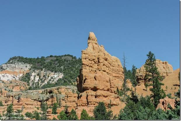
hoodoos Red Canyon Dixie National Forest SR12 UtahHoodoos Red Canyon Dixie National Forest

Being time for a shopping trip I opted for the beautiful drive over SR14 to Cedar City.  My second day off and I didn’t get a particularly early start.
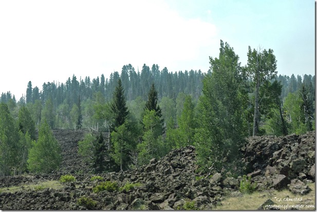
lava trees SR14 Dixie National Forest UtahOnce I dropped off the Paunsaugunt Plateau the smoky haze from southern California fires hung over the western horizon.  Slipped past the lava flow full of Aspen I want to photograph especially during fall colors.
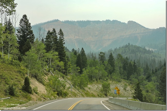
curve trees Pink Cliffs haze SR14 Dixie National Forest UtahDidn’t take the time to revisit Cedar Breaks National Monument.
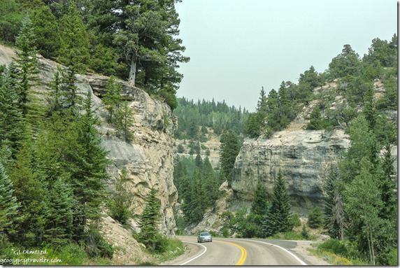
cliffs trees SR14 Cedar Canyon Dixie National Forest UtahWound through Cedar Canyon.  Noted plenty of places to disperse camp along this stretch of the Dixie National Forest.

Thai chicken Satay & dumplings Cedar City UtahEnjoyed a Thai lunch before grocery shopping at several stores.  Then the 1 1/2 hour drive back and shot the entire day.  Two days off is not enough.

hoodoos trees Navajo trail clouds Bryce Canyon National Park UtahNavajo Loop trail

Back to work and a bit of a heat wave.  Bryce Canyon National Park sits from 8000 to 9100 feet in elevation and for a week highs have been 92°F.  Feels HOT!  Yet with surrounding lower elevation temperatures in triple digits I’ve tried not to complain.  Visitors expressed relief with temps below 100°F.

hoodoos trees amphitheater Bryce Canyon National Park UtahQueen’s Garden trail

I saw that Death Valley National Park broke a record at 130°F.

Wall Street Navajo Loop Trail hoodoos Bryce Canyon National Park UtahWall Street Navajo Loop trail

I remind people all day to drink water only to get home after 3-4 liters and realize I haven’t peed all day.

Limited shade and 2 1/2 hours mid-day answering questions and helping people plan their visit with sweat running down my back made me grumpy.  Yet I am glad not to be inside the building doing the same even though it’s air-conditioned.
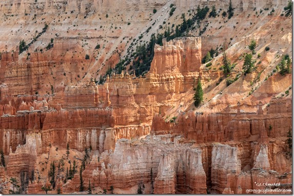
light on hoodoos Bryce Canyon National Park UtahAfter lunch I went to the rim for the 2pm hoodoo geology talk for almost 30 people.  Then I hung-out in the shade for a couple hours enjoying my office view, while answering questions.  My 4pm cultural history rim walk started 20 minutes late for one family and because we had shade, we didn’t walk.
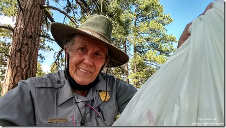
Ranger Gaelyn with littler bag Bryce Canyon National Park UtahOn another hot day with the same schedule when the 4pm didn’t go I spent over an hour picking up litter around the Sunset Point parking lot on the forested side of the fence.  I had to keep telling myself the wind blew this trash in or I’d have been really angry about it all. Two visitors took pics of me doing it. Then I roved the rim for about an hour before calling it a day.

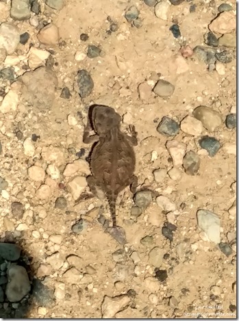
tiny Short-horned lizard Yovimpa Point Bryce Canyon National Park UtahShort-horned lizard about 1”

Some days are perfect.  An old friend stopped by who I knew from the North Rim and lives in Kanab.  Later I crossed paths with a couple I met last February at Organ Pipe Cactus.

Hazy view South Yovimpa Point Bryce Canyon National Park UtahAnother day at the end of the road the view from Yovimpa Point was reduced by the smoke haze from southern California fires.  Over a couple hours I presented several mini-talks about fire ecology and the Grand Staircase geology.
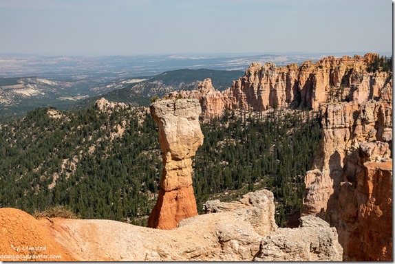
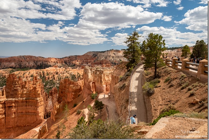
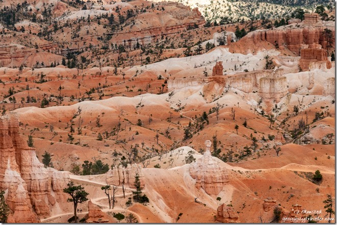
hoodoos trees valley Bryce Canyon National Park UtahDriving back I stopped at several of the overlooks chatting with visitors and met some lovely people.  Plus enjoyed some different views than I usually see.

I don’t mean to sound whiny but am feeling a little burnt out, baked and fried, in more ways than one.  Heat, people, and the Bryce Canyon COVID summer wear on me.  But at least it’s not like last August at this time when I fell and broke both my wrists.  Healing has happened to about 99%.

trees Pink Cliffs valley Table Cliff cloud unnamed overlook Bryce Canyon National Park UtahStill weirdly wonderful at Bryce Canyon National Park.

Push my buttons!

  • Click to share on Facebook (Opens in new window) Facebook
  • Click to share on X (Opens in new window) X
  • Click to share on LinkedIn (Opens in new window) LinkedIn

Like this:

Like Loading...
Bryce Canyon National Park, COVID-19, Park Ranger, Places I've been, United States, Utah life, Park Ranger 18 Comments
06 August 2020

Living in the NOW

Sierra cat on rocking chair in RV Bryce Canyon National Park UtahI really try living in the NOW even though I enjoy memories and planning for the future.  With the recent state of COVID affairs, the future is so unreadable.  So I’m working on one day at a time which includes work and limited play.

Last week on a day off I was home working on the computer.  Everything seemed slow, barely a signal to get online, every program opened “not responding” for way too long.  I was frustrated with waiting.  During mid-day many visitors are online.  Living in the NOW was not so nice.

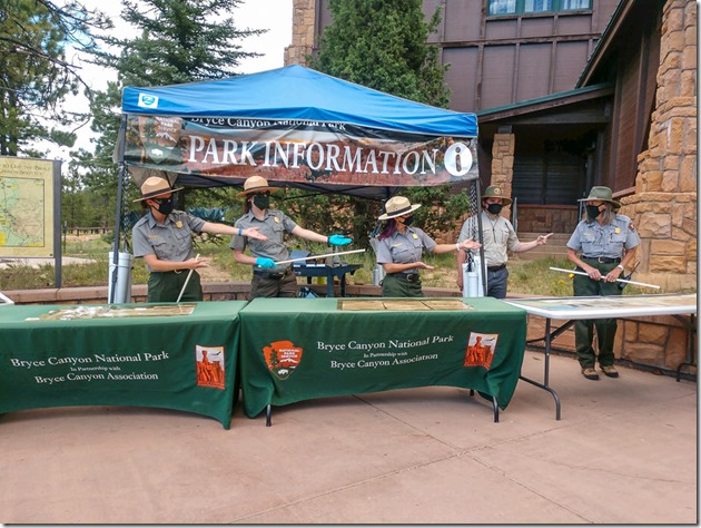
Rangers pointing at me VC plaza Bryce Canyon National Park UtahCelebrated World Ranger Day July 31st.  All Rangers deserve recognition for taking care of visitors everyday through a pandemic.  My supervisor has worked his bum off making Bryce Canyon National Park Rangers available to the public.  Thank goodness we don’t only staff the information tables outside the visitor center.

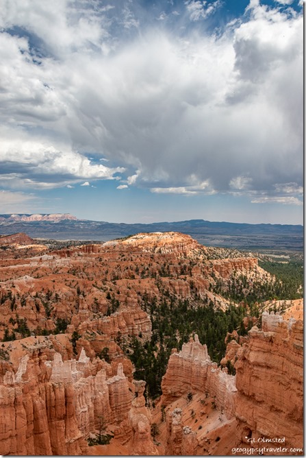
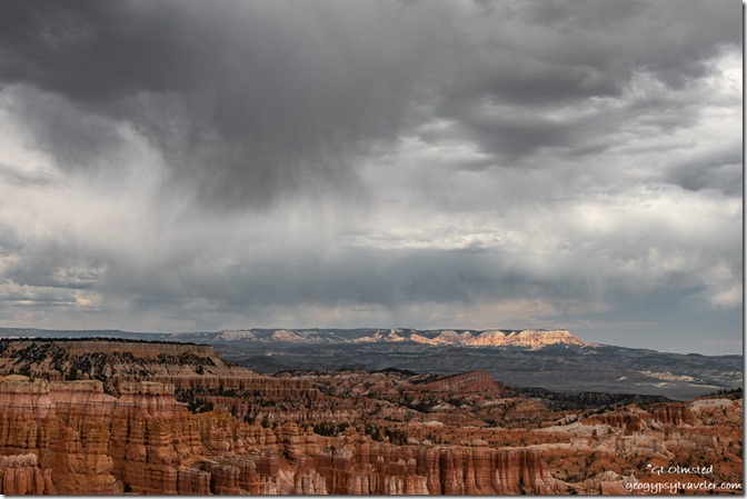
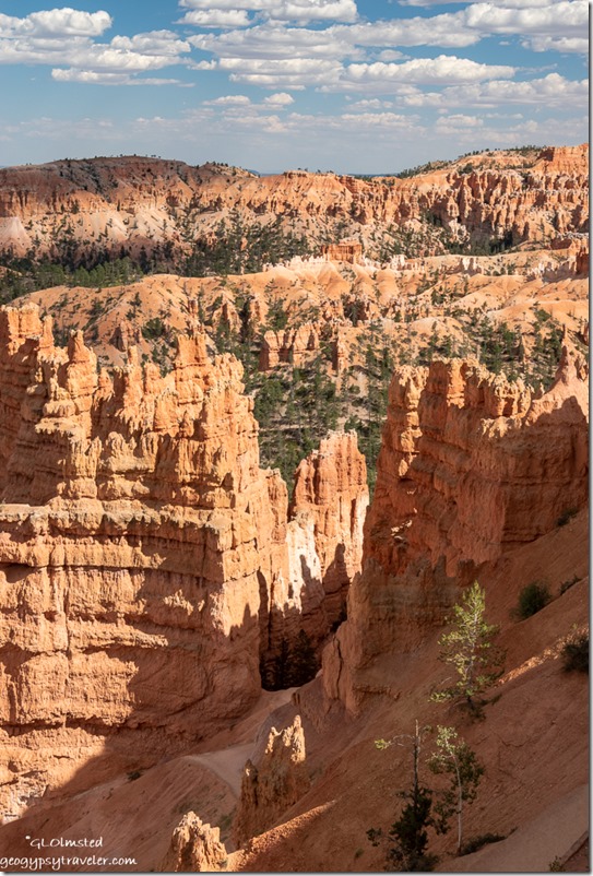
hoodoos valley Table Cliffs storm clouds Bryce Canyon National Park UtahAfter a hoodoo geology program I hung out near Sunset Point.  That day, dramatic clouds provided intermittent shade for perfect hiking and taking photographs from the rim of the main amphitheater.

hoodoos valley Table Cliffs storm clouds Bryce Canyon National Park UtahNo rain hit the ground.

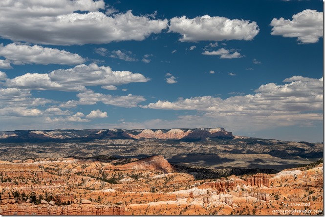
hoodoos valley Table Cliff shadows clouds Bryce Canyon National Park UtahThe next day the clouds thinned out and the temperature rose.  I was a little cooked after four hours roving along the 8000 foot rim at 88°F.

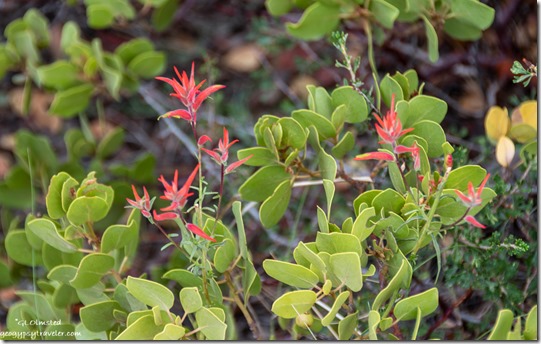
red Paintbrush flowers in Manzanita bush Bryce Canyon National Park UtahA good time to stop in shade and take a photo.

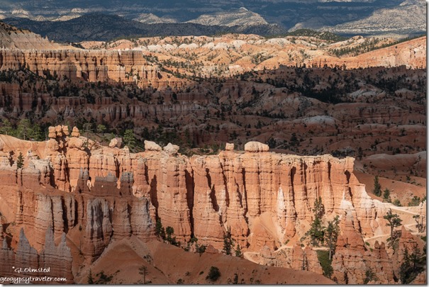
light shadow hoodoos Bryce Canyon National Park UtahAt one point, a visitor asked where is my favorite special place and when I told him, wherever I am, he couldn’t believe it.  “Like I would love the dump”, where I never go.  I told him “I try living in the now, as much as possible.”  He just couldn’t understand.

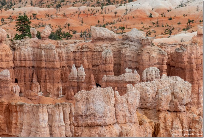
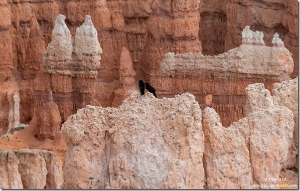
Ravens on hoodoos Bryce Canyon National Park Utah

Ravens on hoodoos Bryce Canyon National Park UtahMy now is frequently in the comfort of my own home—either RV—or outside in a lovely natural environment.  I kind of plan it that way.

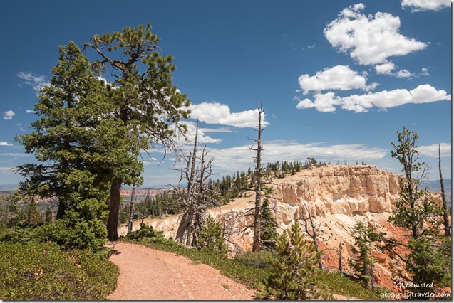
Yovimpa Point from Bristlecone Trail Bryce Canyon National Park UtahLooking at Yovimpa Point from the Bristlecone Trail

Sunday, Ranger Julie and I went to Rainbow Point at the end of the scenic road, another hot day of 90°F at 9100 feet in elevation.  After setting up some tables with props and “Please do not touch” signs I left Julie to present the first Grand Staircase geology talks of the afternoon.

trees Pink Cliffs clouds Bristlecone Loop Trail Bryce Canyon National Park UtahI sauntered 1 1/2 hours roving almost one mile of the Bristlecone Loop Trail.

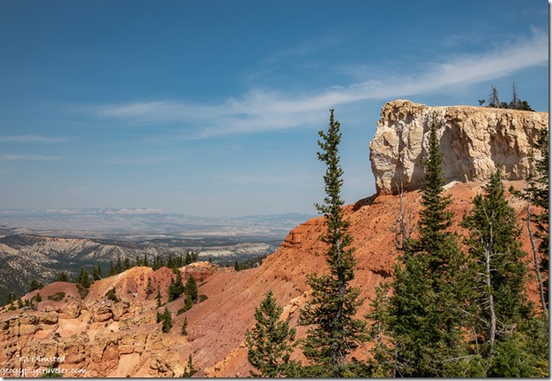
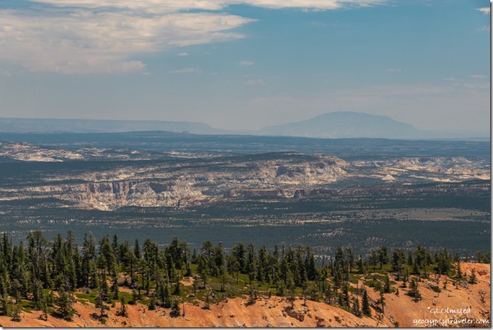
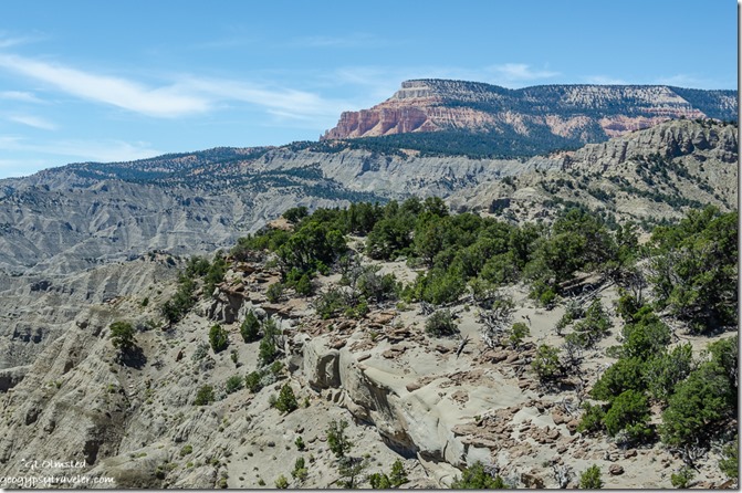
Southeast view Paria River canyon Rock Springs bench Hackberry canyon 50 Mile & Navajo Mt Bristlecone Point Bryce Canyon National Park UtahFrom Bristlecone point I enjoyed a long distance view southeast putting more of the surrounding geography in perspective while trying to figure out what I saw.  Navajo Mountain bulges almost 10,000 feet on the horizon about 90 miles away.  Later with good NatGeo maps and some online help I determined to the left of Navajo Mt lies the Kaiparowits Plateau and the right Echo Cliffs.  Mid-ground starts with the upper Paria Canyon, with Rock Springs Bench next, followed by the Hackberry Canyon, and a rather unrecognizable flatland beyond which is actually multiple benches and canyons.

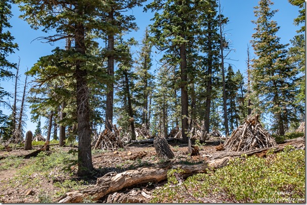
trees burn piles Bristlecone Loop Trail Bryce Canyon National Park UtahI chatted with folks about fire ecology.  A section of the trail borders a backburn from 2018 when lightning strikes started the Lonely Fire in late August and early September the Riggs Fire.  They burned together outside the park and started to approach Rainbow Point in the park.  Suppressing fires for over 100 years didn’t do forests any favors.  Now people try to clean up the unnatural amount of dead fuels and even thin some trees in an effort to restore forest health.

Bryce Canyon Junior Ranger book coverAt a forest gazebo along the trail, I met a family and was interviewed by their soon to be Bryce Canyon Junior Ranger.  The Questions from their Junior Ranger Book and my answers follow:
“Which was the first national park you ever visited? When did you visit?”  1974, Rocky Mountain National Park.

“What do you remember about that experience?”   I thought I’d live there someday.  It just hasn’t happened, yet.

“What do national parks mean to you?”  Special places for special people, that’s everyone.

“Of all the national parks you’ve visited, which was the most special to you? Why?”  Whichever one I’m at, as a Ranger or visitor.  Because I try living in the NOW.

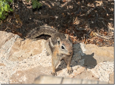
Ground squirrel begging Bryce Canyon National Park UtahAfter returning to Yovimpa Point it was my turn to talk geology while Julie roved.  After several hot hours with multiple small groups I briefly had the overlook to myself.  I sat down in the shade with a dark chocolate fig brownie and water.  Before long, a family arrived, walked to the safety fence, and a kid tells me a squirrel is eating my food.  No, I’m eating my food.  Except I forgot about the Oreos in my fanny pack, that I also forgot to zip shut.  My newest friend.

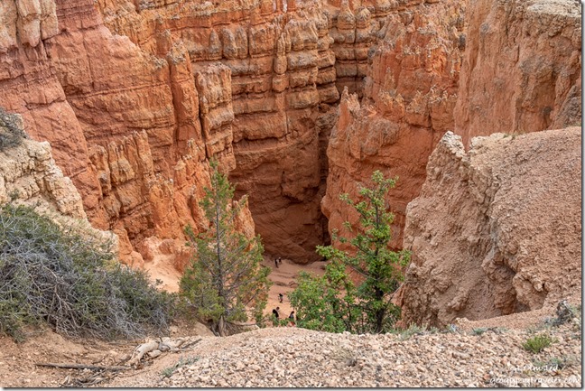
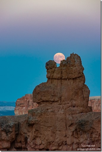
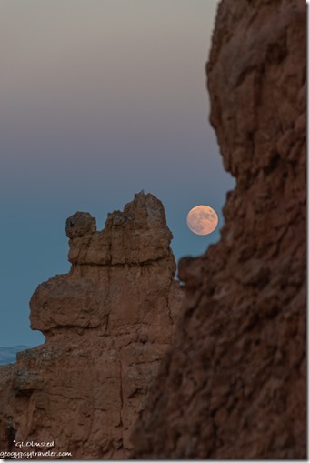
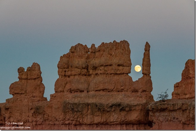
Navajo Trail trees hoodoos clouds Sunset Point Bryce Canyon National Park UtahEven though I was tired from the long afternoon, I went out for the full moon rise as it was only ten minutes before sunset making it easier to photograph without using a tripod.  Walked down the Two Bridges side of the Navajo Loop Trail about five switchbacks, just below what I call the Mask.  (For its shape and nothing to do with COVID.)

hoodoo moon Navajo Trail Bryce Canyon National Park Utahhoodoos moon Navajo Trail Bryce Canyon National Park Utah

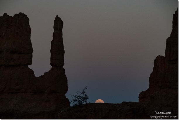
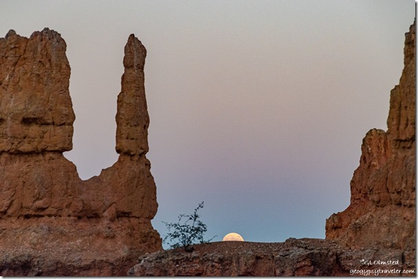
Took some shots of the last light before the moon rose a little further south than expected through a smoky haze so not visible until about 15° above the horizon.  I moved up and down trail 30-40 feet catching it between several different hoodoos.

hoodoos moon Navajo Trail Bryce Canyon National Park Utah

hoodoos moon Navajo Trail Bryce Canyon National Park UtahThe camera kept going auto on the ISO and I couldn’t figure out why.  After every shot I’d have to try to put the ISO back where I wanted it, on manual.

hoodoos moon Navajo Trail Bryce Canyon National Park UtahThe next day I figured out the problem is the touch screen, that is now turned off.  I look through the eye viewfinder with my left (and better) eye and my nose touched the screen.  The camera’s choice was up like 25,000 and exceedingly grainy.

I woke the next morning feeling exhausted after almost seven hours of sleep.  Even after coffee and breakfast I couldn’t do another day at Rainbow Point so called in sick and went back to bed for another four hours of blissful sleep.  Don’t think I messed up the schedule too bad as Paula had help opening then went to Rainbow alone.  I might have overdone the day before getting over heated and dehydrated.

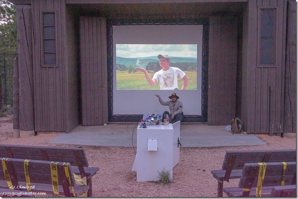
Intern Ben at evening program Bryce Canyon National Park UtahBy afternoon I felt recovered and the next day shared a late schedule with our intern Ben.  It’s his last week here so I gave up my evening program for his presentation about the science of life in the universe.  Really glad I had to open locks for setting up the slide projector and be there for this excellent program, not about aliens.  Afterwards, most of the staff, all wearing masks, joined together in the employee parking lot to look at the sky with our Vogon telescopes.  (Not open to the public.)  The only time we’ve had them out all season.  We are all going to miss the two astronomy interns who soon return to online school.

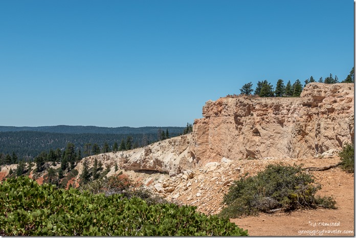
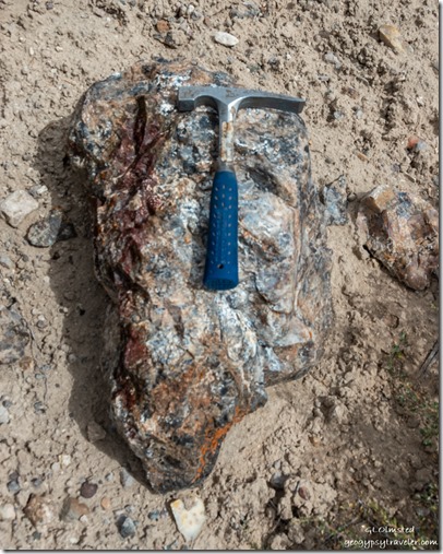
rock hammer agate rock Agate Hill Dixie National Forest UtahSo, although I was up late on my Friday, the next day I went rock-hounding with April.  Being both our days off, my first her last, we didn’t start our adventure until 10am.  Besides we weren’t going too far away either.  And unlike my last drive-by, we had no problem finding Agate Hill.  Good idea to go rock-hounding with a geologist.

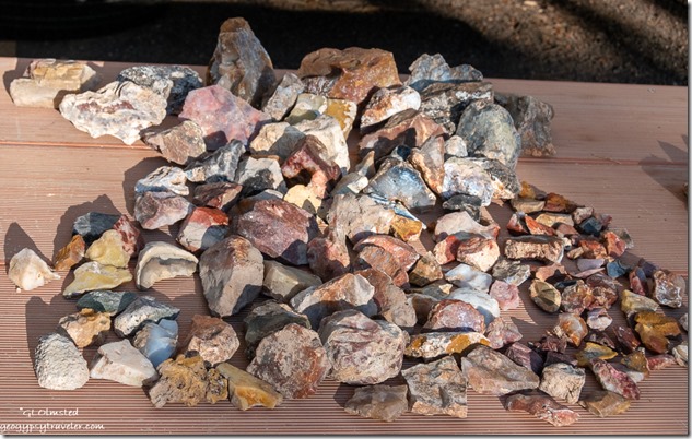
collection various agates from Agate HillOf course we gathered way too much rock even though under the allowed 25 pounds plus one for each person.  So many gorgeous colors: yellows, oranges, reds, black, root beer brown, and white.

Southwest view trees valley Agate Hill Dixie National Forest UtahI was so busy looking down at the rock that I failed to take many photos of the lovely landscape which included the eastern cliffs of Red Canyon as well as the Sevier River valley to the west.  After a couple hours we went to The Big Fish in Panguitch for lunch and quick stop at the market, plus a long wait for April’s ice cream cone at the tourist trap in Bryce Canyon City.  A wonderful day living in the NOW.

I respect that 2020’s NOW certainly isn’t always the best for many reasons.  But for my own sanity, I have to try living in the NOW at least some of each day to find the good and beauty.  What NOW are you happiest in?

Push my buttons!

  • Click to share on Facebook (Opens in new window) Facebook
  • Click to share on X (Opens in new window) X
  • Click to share on LinkedIn (Opens in new window) LinkedIn

Like this:

Like Loading...
Bryce Canyon National Park, COVID-19, Park Ranger, Utah hiking, Park Ranger, play, ranger programs, rockhound, work 18 Comments
15 July 2020

Shopping from Bryce Canyon involves distance and time

I’m not all that keen on shopping whether it’s a long drive to town or online, but that’s what happened last week when I had to go shopping from Bryce Canyon National Park.

Northeast view Table Cliffs SR12 East UtahNortheast view Powell Point

Grey Cliffs SR12 East UtahI couldn’t bring myself to driving 1 1/2 hours west to the more than adequate sized Cedar City for just a few groceries, mostly fresh fruits and vegies on the list.  So instead I drove about an hour the opposite direction on Scenic Byway SR12 to the cute little town of Escalante.

trees sandstone cliff Puebloan ruin SR12 Utah

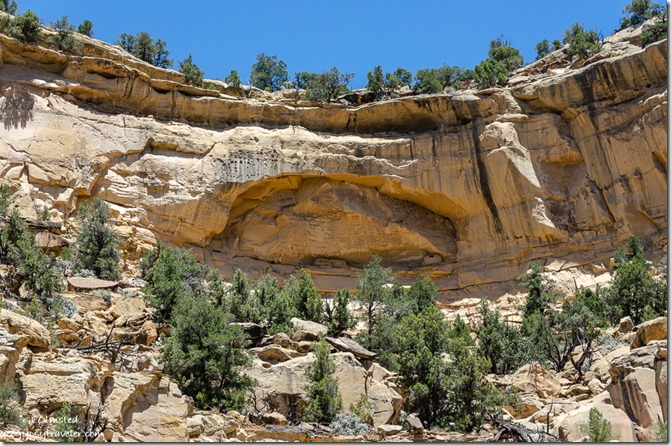
trees sandstone cliff Puebloan ruin SR12 UtahAlong the way, a wide place along the road with interpretive signs caught my attention.  The sign indicates looking way up high on the sandstone cliffs for Ancestral Puebloan granaries, food storage structures sort of like our pantries, but they looked more like dwellings to me.  I did not make the several hundred foot climb for further explorations.

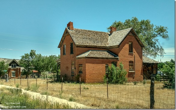
house for sale Escalante UtahHouse for sale Escalante, Utah

Mimi's Bakery & Deli Escalante UtahMimi’s

Once in Escalante, first stop was Mimi’s Bakery and Deli for a delicious grilled portabella sandwich for lunch with homemade potato salad and a blueberry muffin for later.  They offer take-out with outdoor seating but I ate mine in the camper.  Got a few things at the grocery store and a couple more at the Organic Grocery. Damn problem with going to town is spending so much money.

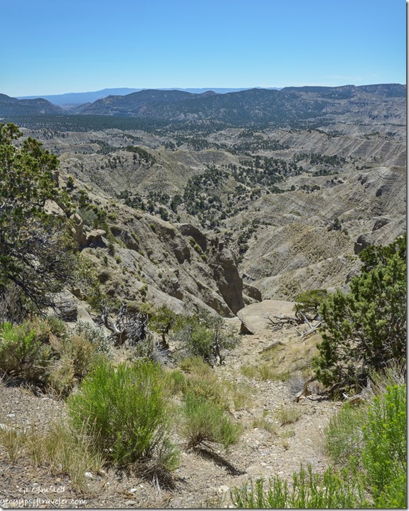
East view Tropic Shale SR12 UtahMade one quick stop on the way home because I didn’t have the frozen foods in a freezer.  This overlook by the 7600 foot summit provides a far distant view east across the tropic shale where dinosaurs roamed some 70 million years ago along the marshy edge of an inland sea.

trees Gray cliffs northwest view Powell Point SR12 UtahNorthwest view Powell Point

That was barely 100 miles round trip and took five hours.  A fun and scenic drive with a U, and three-sided view, around Powell Point.

Pink Cliffs trees Yovimpa Point Bryce Canyon National Park UtahSouthwest view from Yovimpa Point

Back to work for my Monday on Saturday with an early start opening the outside information area.  Visitation is 30-50% down from last year but Saturday’s the busiest.

Southeast view Pink Gray White Cliffs clouds Yovimpa Point Bryce Canyon National Park UtahSoutheast view from Yovimpa Point

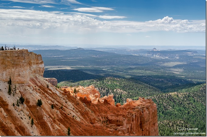
After a several hour stint answering repetitive questions—doesn’t anybody pre-plan and visit websites—I drove to Rainbow Point at the end of the park’s scenic road.  At Yovimpa Point–a short walk to the rim—I presented a couple Grand Staircase geology talks.  Plus took photos of the gorgeous light, shadows, and clouds plus the amazing distant view south across the Grand Staircase geology and national monument.

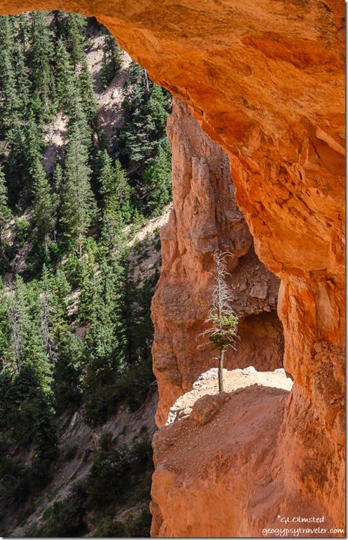
tree under Natural Bridge Bryce Canyon National Park UtahThe tenacity of a tree can teach us much about survival in a harsh environment.

I heard on the park radio lightning was nearby the visitor center and rim talks were cancelled, but never saw a drop of rain.  Though later back home I heard thunder while considering a trip to the rim for sunset.  Yet I just didn’t have the gumption or energy after a full day under the sun and wind.

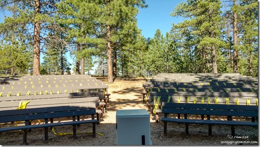
North campground amphitheater seating Bryce Canyon National Park Utah

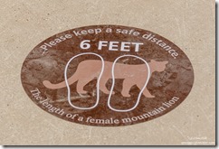
mountain lion 6 feet distancing stickers Bryce Canyon National Park UtahThe next day I started late and presented the 9pm evening program about wildlife in Bryce.  Complete with animal sounds, the audience loved it and laughed when the sounds snuck in.


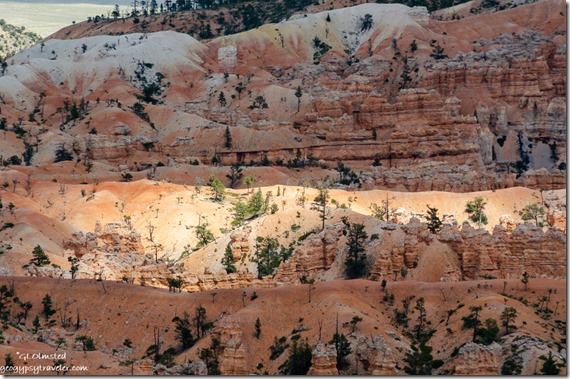
trees hoodoos light Bryce Canyon National Park UtahTemperatures were up into the high 80s and low 90s so it’s plenty warm hanging outside, especially when on the rim for several hours.  There are a few shady spots I rove from.

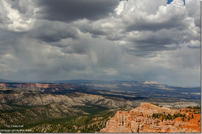
Pink Cliffs valley Table Cliffs storm clouds Rainbow Point Bryce Canyon National Park UtahEast view Powell Point from Rainbow Point

Sometimes it’s windy, which helps cool me off, but have to be careful not to loose my hat.

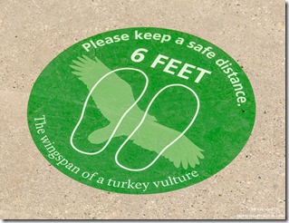
turkey vulture 6 feet distancing stickers Bryce Canyon National Park UtahI should probably get better at shopping online, but I’m a person who likes to touch and read labels so it’s difficult.  Yet somethings are just too far away for in-store shopping, like a new camera.  I asked a couple photographer friends for advice on replacing my well-past-its-time Nikon D5100 purchased in 2012.  I want to be able to use the lenses I already have so there were limitations, including budget.  One person recommended the Nikon D3500 camera body for $350 ordered from WalMart.  Not a bad price just a bad store.  But that version doesn’t include two features I like, AE bracketing and a variable motion LED screen.  Another person basically did the online homework for me and found a Nikon refurbished D5600 from a reputable camera store, B&H, for $449.  Not only does it have those two features I want but I’ll be moving up from 16mp to 24mp with less weight.  Yes, I ordered it last Friday and it should be here this week.  Won’t look much different than what I have.  Report coming.

Of course, as soon as I bought the camera my laptop started acting up.  I’m totally not ready to replace it right now.

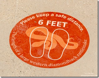
rattlesnake 6 feet distancing stickers Bryce Canyon National Park UtahI recently discovered shopping for masks online is big.  Duh, why wouldn’t that be the case.  I have a couple black cotton masks issued by the park, and a pretty one made by a friend.  But I can’t wear the surgical masks with metal over the nose as my skin is sensitive to cheap metal.  I thought having my smiling lower face printed on a mask would be a good idea but that would also take shopping online.  I’ll think about it.

Suppose I could learn to order online, planning ahead for shopping from Bryce Canyon to Cedar City for my major grocery needs.  Too bad the new Natural Grocers’ doesn’t offer that option but I do like to cruise that store finding sales and sometimes items that weren’t on my list.  I’ll save that trip for next week, maybe.

West view Powell Point SR12 West UtahView west Powell Point through dirty window

I’m finding it difficult to travel into unknown places where I’m not exclusively outdoors and able to easily distance from people, especially those not wearing masks.  I even try not to spend much time in the Admin building/visitor center. Indoor time is typically my own RV home and vehicle.  Hope you’re not getting bored with the daily life of a seasonal Park Ranger at Bryce Canyon.

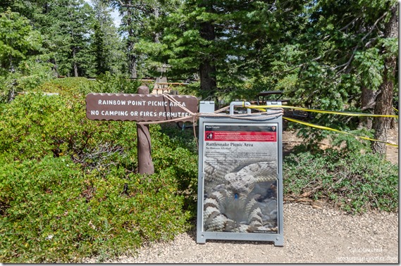
signs picnic area closed due to snakes Rainbow Point Bryce Canyon National Park UtahPicnics leave food scraps for rodents who become prey to snakes at Rainbow Point

This article speaks volumes.  I hope we’re not loving our national parks, and each other, to death.

Push my buttons!

  • Click to share on Facebook (Opens in new window) Facebook
  • Click to share on X (Opens in new window) X
  • Click to share on LinkedIn (Opens in new window) LinkedIn

Like this:

Like Loading...
Bryce Canyon National Park, COVID-19, Park Ranger, Places I've been, United States, Utah new camera, Park Ranger, RV life, shopping, travel 20 Comments
← Older posts
Newer posts →

Hi, I’m Gaelyn, the Geogypsy

I retired after 29 summer seasons as a Park Ranger, traveling solo for 40+ years. My passions include travel, connecting to nature, photography, and sharing stories.

I started exploring US National Parks in 1977 and 20 years later became a seasonal Park Ranger.  I’ve lived full-time in a RV for 30 years working summers and playing winters.  I’m still trying to figure out what I want to be when I grow old, other than grow up.

Let’s share our stories.  Here’s more of mine…

My wheeleastate

I am currently…

…boondocking somewhere in southern Arizona.  In the area, give a shout.

Geogypsytraveler on YouTube

Follow my journey on YouTube. Just click the pic. Hope you’ll like, share, and subscribe.

Click image for 7 minute documentary (Password “geogypsy” lowercase)

Making the Gypsy documentary is a story of its own.  Click below for the rest of the story.

Living nomadically & connecting to nature documentary

Subscribe to Blog via Email

Enter your email address to subscribe to this blog and receive notifications of new posts by email.

Photos available for sale include prints, greeting cards, coffee mugs, tote bags, phone cases and more

Reflected Wave 24X16 metal print under $100

Custom Coffee Mugs

Many items to choose from including prints

The Last Blast 24 x 16″ metal print under $100

Need a signal boost? When I boondock on public lands sometimes signal is weak or intermittent and a booster helps. Click the pic to visit WeBoost.

Connecting to nature and the rest of the world too.

Please contact me for photo purchases not seen at GLOlmsted Photography

Order fulfillment is by Fine Art America. If you’re not happy with your purchase, for any reason, simply return it within 30 days, and you’ll receive a full refund of the purchase price.

Why read Geogypsy?

The gypsy life spring-summer 1998 - "You were a real pioneer. RV'ing before it was cool." ...Yogi

How do you process photos? - “Your photographs create an Emotional feeling in the viewer...that they become One with You.” …Cindy

Life’s transitions between travel and work play - "I know you love your job as much as you love travel -- it shines through all your posts." ...Sallie

Lions at Kruger National Park - “Wonderful post, thank you. I was hooked start to finish!” … Peter B

11 lessons looking back 2013 - “A great post -- made me think, made me smile, made me want to cry." ...Sallie

Wildlife video Kruger National Park - “Gorgeous, this makes me want to go straight to South Africa now.” … Ayngelina

Living nomadically & connecting to nature documentary - “What an experience you had and gave to the "crew." Sometimes I think you don't realize how unique and inspiring you are.” …Alan

Search

Popular Posts

1. Prioritize the well-being of nature over photography. 2. Educate yourself about the places you photograph. 3. Reflect on the possible impact of your actions. 4. Use discretion if sharing locations. 5. Know and follow rules and regulations. 6. Always follow Leave No Trace principles and strive to leave places better than you found them. 7. Actively promote and educate others about these principles

Categories

Archives

Sites I follow, read & recommend

  • A Full-time Life
  • A Yankee in Belgrade
  • Bob's Eyes
  • Box Canyon Blog
  • Camels and Chocolate
  • Dawns bloggy blog
  • In the Direction of Our Dreams
  • Jane in her infinite wisdom
  • Janie and Steve, Utah Trails
  • Kathie's Birds
  • Las Adventuras
  • Memorable Meanders
  • Oh, The Places They Go
  • On the Road Abode
  • Port Elizabeth Daily Photo
  • Stillhowlyntravels
  • Take to the Highway
  • Technomadia
  • the good luck Duck
  • Travel with the Bayfield Bunch
  • Wandering Earl
  • Wheeling It
  • Yogi's Den

Caught in a Slot 9×12 canvas print under $50

If you don’t like what’s going on in your government, contact your Congress

Directory of Senators

Directory of Representatives

Lijit

© Copyright 2008-2024. Geogypsytraveler.com
%d