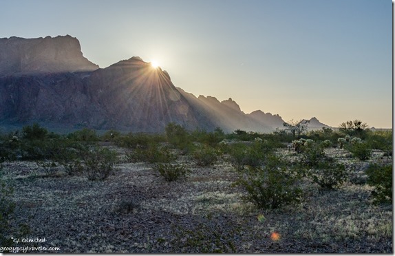
 My last full day at the Kofa National Wildlife Refuge I went sauntering not far from camp in search of Arizona wildflowers and I found a few, very tiny flowers.
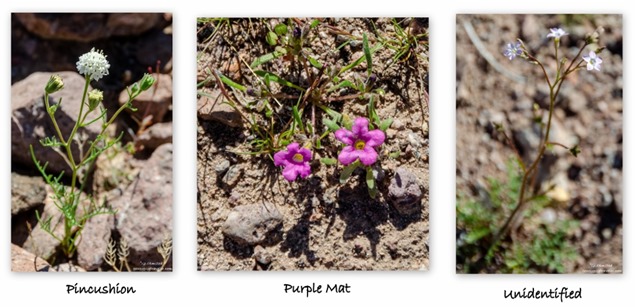 I’m greedy, I want more. The Sonoran Desert is the most diverse desert in North America and the density seems to increase traveling south.
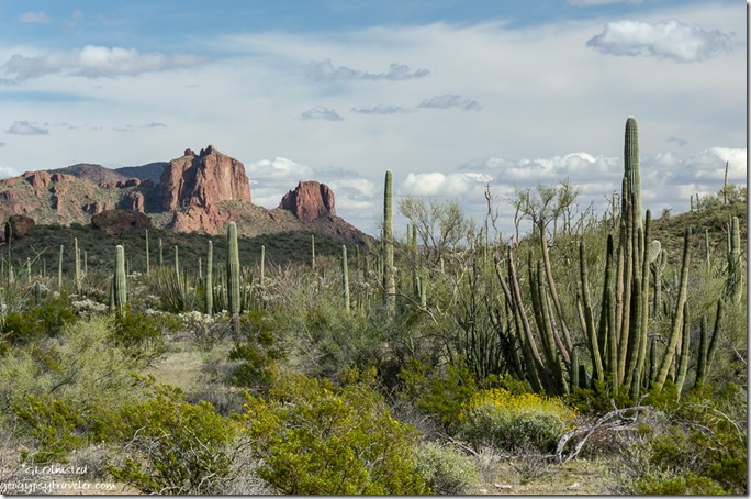 A Ranger friend from Organ Pipe Cactus National Monument told me the flowers were popping, not peak yet but lots of color. So I began a slow coddiwomple south to search for more Arizona wildflowers in the green desert.
First stop, shop till you drop in Yuma. I’m not keen on shopping anytime, but right now with the hype of Coronavirus, stores are just too peopley. Yet this would be my last big stores town so I stocked up on food, water, and fuel. Then I headed east out of town on I8. Another thing I don’t like to do is drive the rough and frenzied freeways. Kind of followed an Arizona wildflower lead for Ajo Lilies near some Tacna sand dunes, but decided the sandy frontage road wasn’t for me.
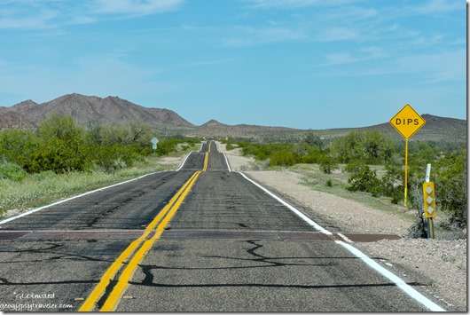
 Besides, being late afternoon I needed to find a place to park for the night and knew BLM land paralleled the highway so could only hope it was accessible. I also knew the freeway followed historic US80 and would have driven that but it’s not consistent. Out of the corner of my eye I saw a RV parked a ways south and took the next exit at Mohawk Valley. Not too far west on US80 I saw a dirt road and pulled off.
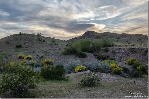 Very pretty, except for the much appreciated communication towers in sight. I could hear freeway traffic, and the train, and was within view of US80. I was too exhausted to care.
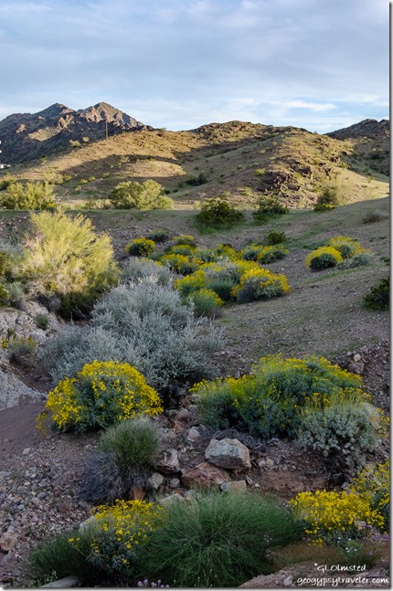
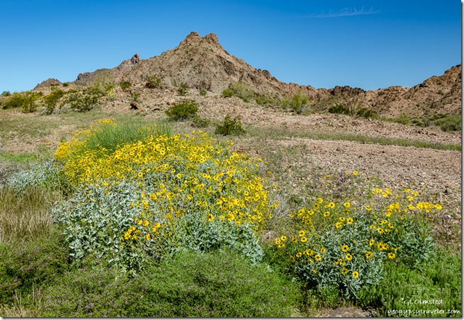 After seeing blue Lupine and yellow Brittlebush flowers line the freeway I was more than happy to see them next to camp in the dry wash and up the hillsides.
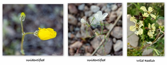 Because I had such a great signal I did a little online research and decided I would stop at a place I’ve blown by before located not far west of Gila Bend. Painted Rock Petroglyph site with a BLM campground located 11 miles off I8. $8/night, and cheaper at half the price with my Federal Senior Hippie Pass. Sixty dry-camp sites in a sparse desert with pit toilets and within an easy walk to the petroglyphs. Generators allowed from 8am-8pm, but still a pretty quiet place.
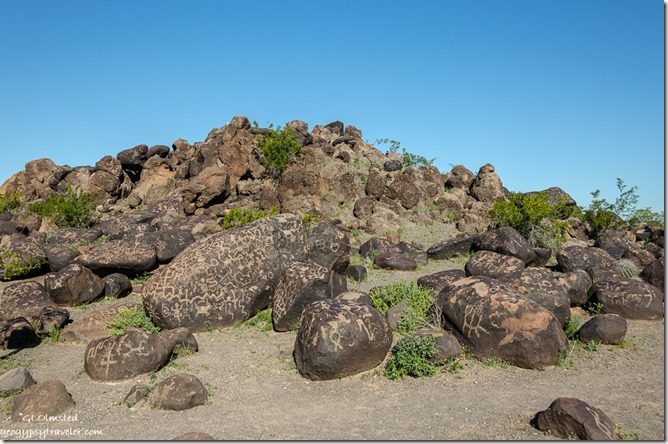
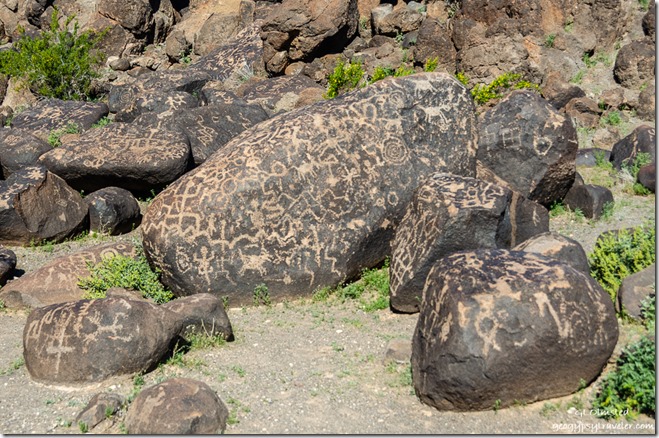 Was a warm afternoon with no shade so I waited until morning to explore the petroglyphs that can be seen from the less than 1/2 mile loop trail. I found the amount of petroglyphs overwhelming for such a small area. Archeologists believe these stories on stone have been left by people for about 10,000 years.
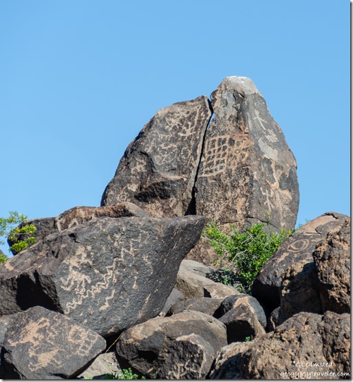 The most recent O’odham people, claim descent from the Hohokam, would have grown crops along the Gila River. The weathered lava flows covered in desert varnish are the perfect reversed canvas to peck away and reveal lighter rock and images. Hard to say what stories are told here as the earliest of social media.
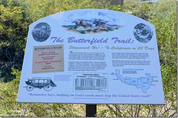
 The river also provided for Juan Bautista de Anza along his route west in 1775. During the mid 1800s the Butterfield Stage Coach Trail passed this way taking 23 days between St Louis and San Francisco carrying the mail and passengers. In the 1870s railroads made travel easier and from 1927 to 1989, US80 carried cars and trucks across Arizona as part of the Ocean-to-Ocean Highway until replaced by Interstate 8.
Once a lush riparian along the Gila River is now a sparse desert where today’s agricultural settlers have siphoned the river almost dry. I drove four miles out to the Painted Rock dam in hopes of seeing the river. No luck as the Army Corp of Engineers have a fenced and gated compound and I never did see water or the dam.
I returned to the interstate east to Gila Bend, a rather dismal town IMHO. South on AZ85 to Ajo, where I enjoyed lunch with a friend for authentic tacos at the Mexican price of $2.50 each.
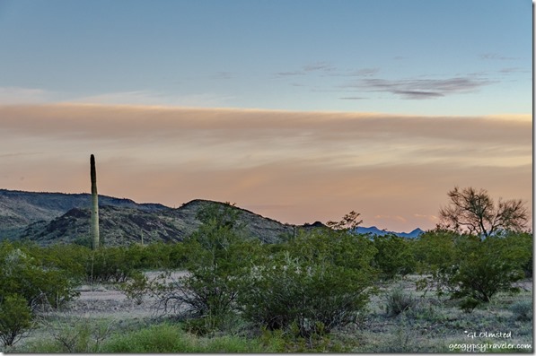 Then, because I wanted to boondock close to Organ Pipe Cactus National Monument, I bypassed my usual BLM Darby Well Road for Gunsite Wash just south of Why, also BLM. I was not overly impressed. The name alone put me off. Very open and too many people. But really, camping in a wash especially when rain is predicted doesn’t seen too bright. It worked for one night.
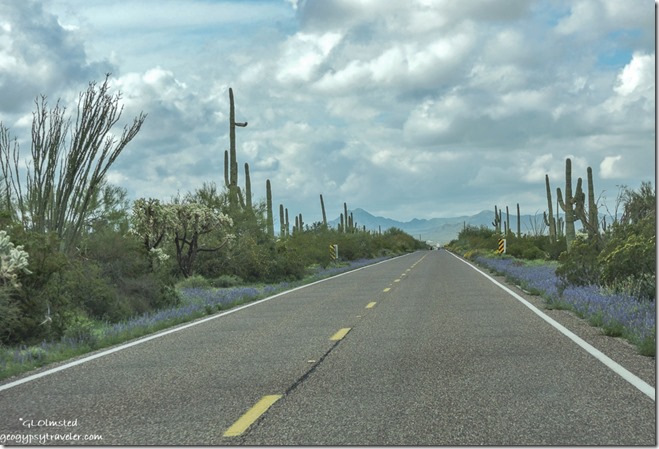 The roadside flowers were thick: blue Lupine, orange Mallow, yellow Brittlebush, interspersed with white Chicory and yellow Desert Marigold. Yet with no good places to pull over without driving on the flowers I truly looked forward to a drive with parking in the monument the next day.
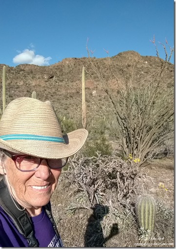 Started at the visitor center where I bought a book about the natural history of the Sonoran Desert and a kids hat that actually fits my tiny head. Attended a Ranger talk about poisonous and venomous desert creatures. Didn’t realize the extent of research being done on venom from snakes, spiders, and lizards.
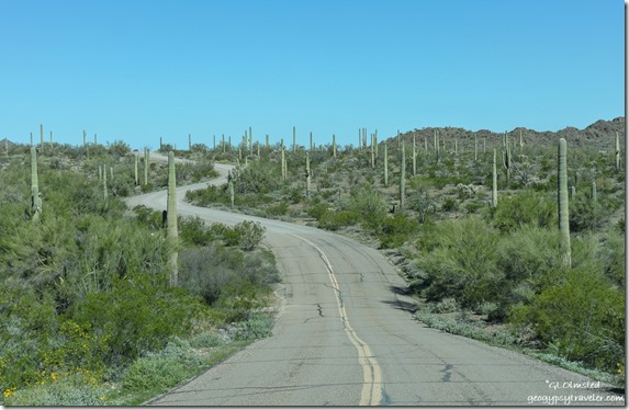
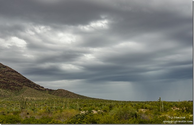
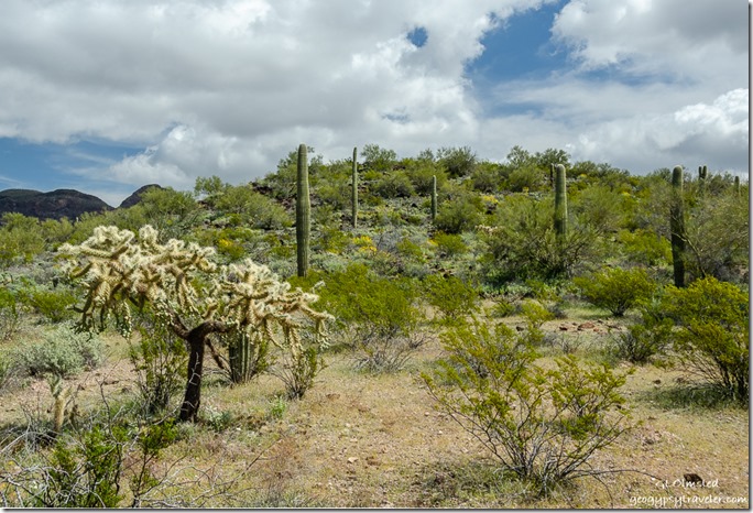 Finally around noon I took off on the 21-mile Ajo Mountain Drive suggested to take about an hour. Hmmm… So even though it was the middle of the day, clouds meant for even prettier pictures.
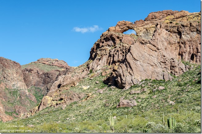 I received a free guide for the Ajo Mountain Drive in the visitor center and stopped at each of the designated 18 stops, plus maybe a few extras.
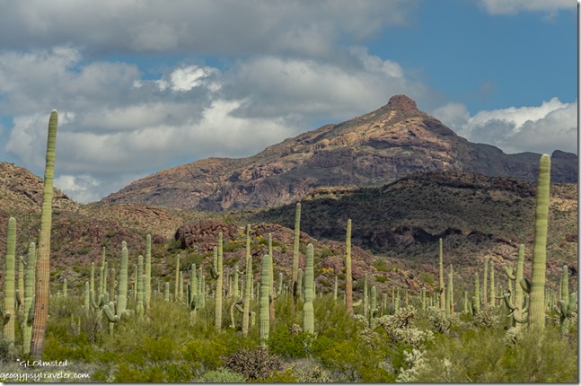 The tall stately Saguaro cactus seems to dominate the Sonoran Desert with arms pointing in all directions.
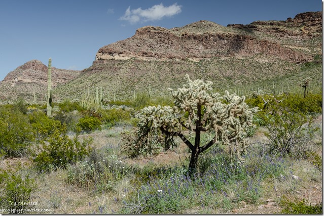 Yet other prickly cactus like the Chain-fruit cholla find a home here as well. This one is cousin to the Teddy Bear, or Jumping, Cholla with long spines that tend to glow in the light. They all drop off pieces to spread themselves around. This one was surrounded by Mojave Lupine and Desert Chicory.
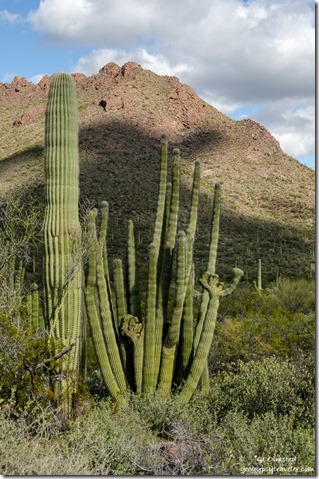
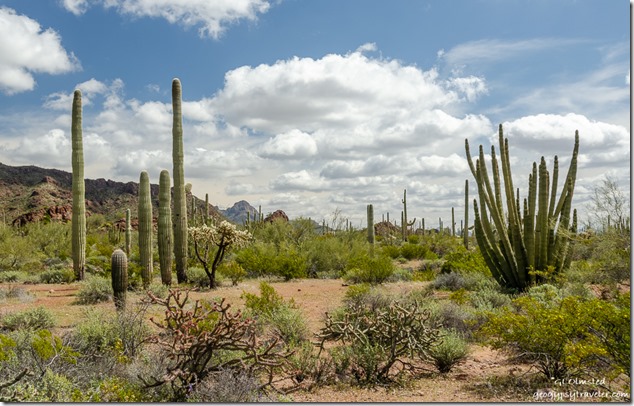 And then there’s the Organ Pipe Cactus found only in southern Arizona and across the border in Mexico.
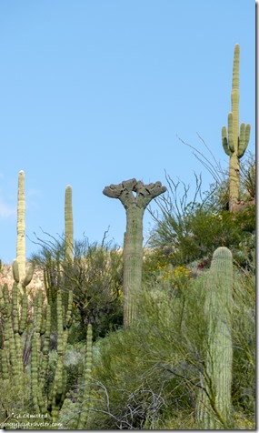
Keeping an eye out I even saw a few crested, or cristate, cactus.
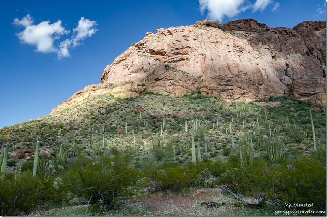 The yellow-green Creosote bushes are everywhere showing off yellow flowers. As they propagate by root shoots they could all be related.
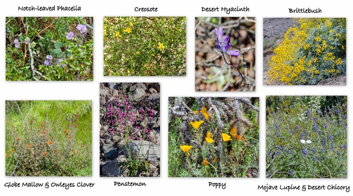 And Arizona wildflowers were scattered throughout. Desert blue Lupine, white Desert Chicory, orange Globe Mallow, magenta Owleyes Clover, yellow poppy, purple Desert Hyacinth, tall magenta Penstemon, purple Notch-leaved Phacelia, yellow Desert Marigold, red Chuparosa, and all dominated by yellow Brittlebush. Not a “Superbloom”, yet. But plenty of super blooms.
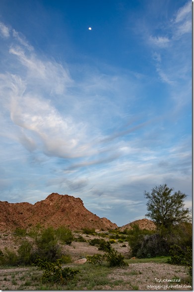
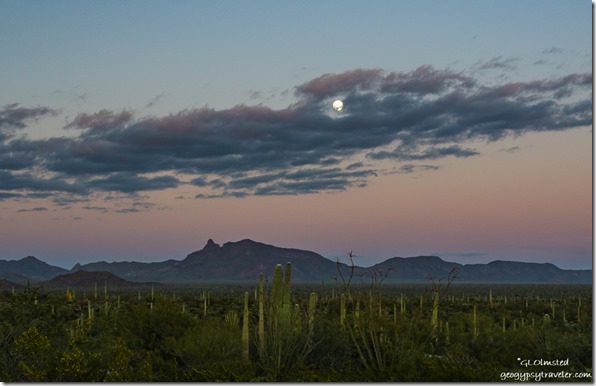 Five hours and many stops later I headed to the monument’s campground where I was fortunate to get a space after hours. Sadly, I missed the almost full moon breaking over the horizon.
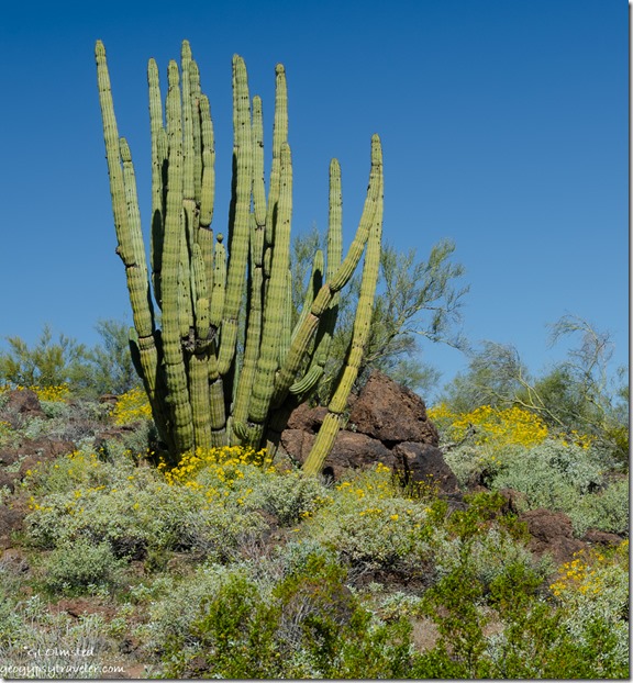 The next day I drove a part of the North Puerto Blanco Road and saw more Arizona wildflowers.
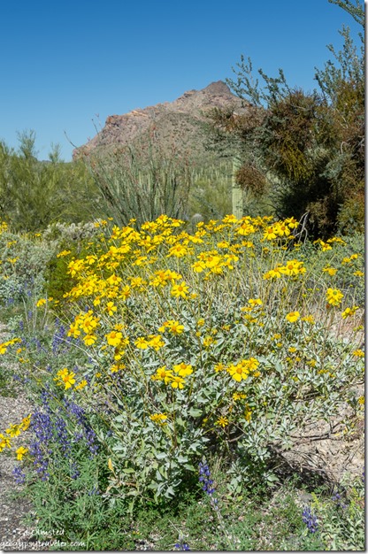 To drive the entire 41-mile loop requires 4×4, which my truck is not.
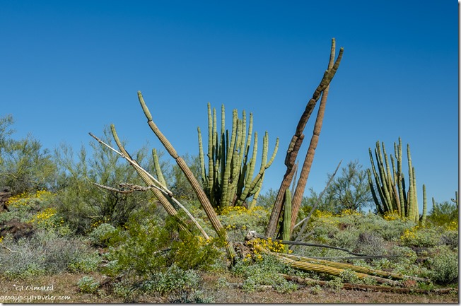 Although I could have dry-camped in the monument it didn’t make sense to pay $10/night, with my pass, to basically boondock. Rain in the forecast for several days meant finding a safe place to camp, not Gunsite Wash.
 On the way through Why I stopped for lunch at Granny’s Kitchen. The especial was mole chicken enchiladas that were OMGood, and I had left overs.
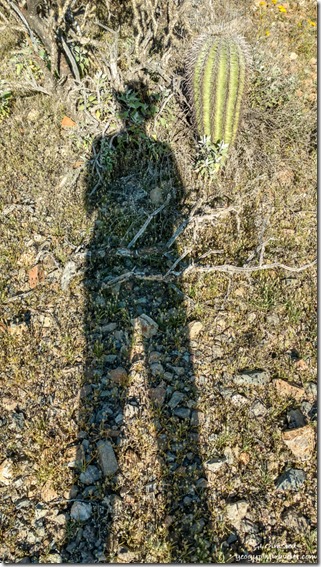
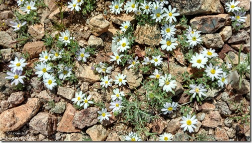 I returned to Darby Well Road for an undetermined amount of nights and found high ground with a good signal and neighbors at a respectful distance, other than a sweet singing Cactus Wren. Camp is surrounded by tiny Desert Star flowers and a leaning Saguaro can be seen out the window.

You were certainly surrounded by lots of desert beauty. The wildflowers are really starting to pop. Thank goodness for the lush brittlebush that brighten the desert and roadways. Love when the lupine line the road.
With the current rains it can only get better.
Oh how I missed the Sonoran desert this past winter:((
I sympathize Al. Hope all these photos help lift your spirits.
That first photo of the petroglyphs and the enlargement I thought was a giant tortoise!!! Spring flowers are so pretty and in the desert they are just stunning. Thanks for sharing this beautiful are with us. Enjoy your day, Diane and Nigel
LOL, our desert tortoise don’t grow quite that big. Seeing flowers in the desert is a treat and right now the desert is looking exceedingly green, with more rain coming today.
Painted Rock has been our overnight spot on the long drive to the Spring Training games. Great pictures of the wildflowers in bloom
Thanks. Sure glad I finally checked out Painted Rock.
“I also knew the freeway followed historic US80 and would have driven that but it’s not consistent. ”
You are certainly right about that. I drove Old Hwy US 80 from Yuma to Why on 13 Feb 2016.
Only 169 miles today on this route: N. Frontage Rd, Fortuna Rd, US95, E. County 3rd St, S. Ave 16 E, E. County 4th St, S Ave 18 E, County 6th St, S Ave 19 E, E. County 7th St, S. Ave 20 E, Old Hwy 80/County 2nd St (Mohawk), Ave 64 E (Dateland), Old Hwy 80, Interstate 8 (24 miles, Exit 78 – 102), S. Frontage Rd, AZ85 & AZ86. Note: All those County Road turns are well marked with signs pointing to Old Hwy 80
It is one of those roads that I had to drive once more. I drove it, or was a passenger, a number of times in the mid to late 1950s.
Wow, that’s a lot of changes. I do love those old roads but wouldn’t have put that much work into it.
We love the Quartzsite area but really want to spend time down near I-8. We didn’t have time to stop last winter.
Great pictures as usual.
Be Safe and Enjoy the solitude.
It’s about time.
Thanks. Q is OK but I really do prefer the more southern Sonoran. There is something special about the quiet on Darby, except for border patrol and today’s wind.
Thank you. Gaelyn! That was wonder filled and Peace full! <3 <3 <3 8*)
Thank you. What a lovely thing to say.
I love your adventures. There is nothing prettier than the desert when there are lots of flowers blooming.
Thanks, me too most of the time. Feels like an extra special gift to get rain followed by flowers in the desert.