July 12, 2016
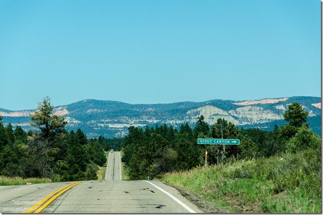
Bill took me on a shortcut through Stout Canyon instead of driving further north on SR89 and catching SR14 west as I’d traveled to Cedar Breaks before.
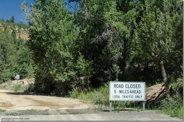
A gravel road with an immediate ‘Road Closed 5 miles ahead’ sign. As we stopped by a dumpster a local rode up on an OHV towing a trailer full of junk to throw away. When asked about the road he said lots of road equipment traffic repairing a wash out but it’s passable. So off we went, figuring we could always turn around. Gorgeous countryside in the Dixie National Forest with meadows and forest plus glimpses of towering cliffs.
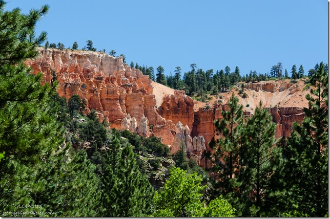
Stopped to check out an amphitheater of hoodoos. Actually had to turn around—guess Bill didn’t hear my shout to stop—then parked in a gravel pit and walked a ways into the trees. The almost delicate sculpture of rock intrigues me.
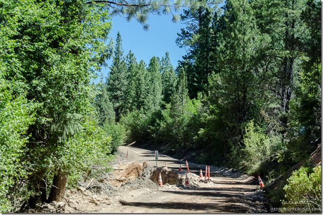
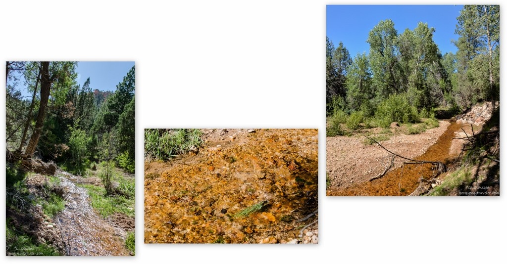
The road follows Swains Creek, or “crick” as Bill says, which must have flashed during the last rain several weeks ago but enough repairs were completed to make a one way passage. Didn’t see any working trucks until the way back.
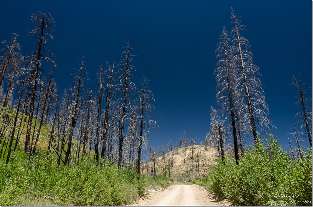
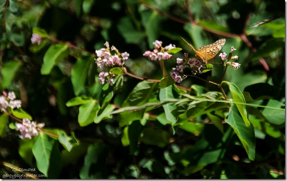 Wildflowers often flourish after fire. I think this burn could be from 2013. Although I don’t visit public lands to see char I’m glad to see the return of a healthy forest after wildfire.
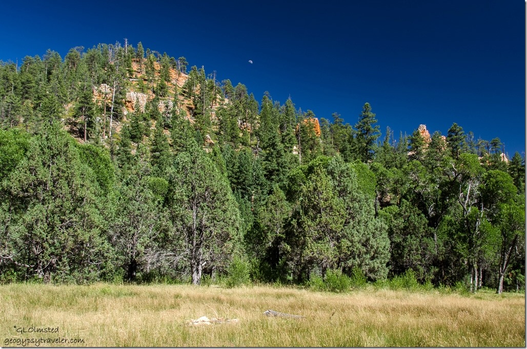
Back on the paved SR14 after a little over an hour ‘shortcut’ and off to Cedar Breaks National Monument to see wildflowers. In fact we also drove Stout Canyon on the way home under much better light conditions and a partial moon.
Had to stop by the ‘Crick’ to soak in some flowing water energy, such a rarity to see any more with living on a high and dry plateau. Sparkling rays filled my eyes and brain with smiling sunshine. I cupped my ears to hear the gentle song. Drank in the moisture laden air, as did my dry desert skin.
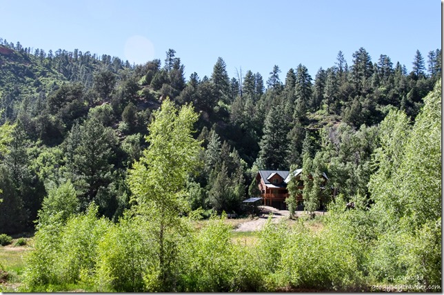
Back past privately owned homes, some of which looked pretty nice. Wonder if they are off grid.
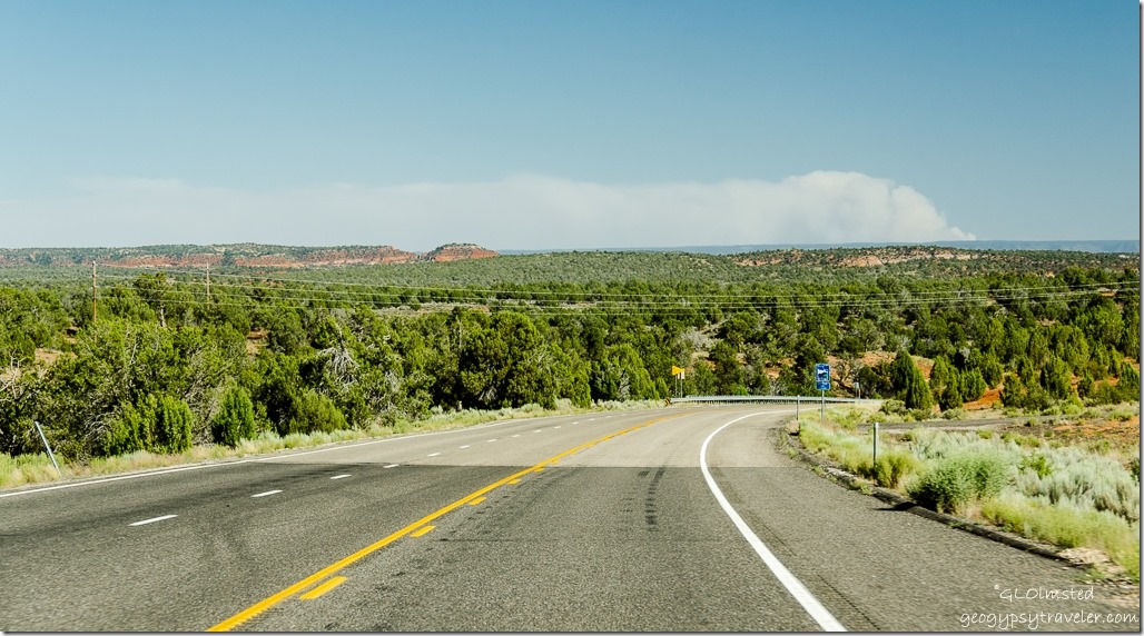
Then back to SR89 pavement and south to Kanab with a view of smoke rising on the Kaibab Plateau from the Fuller Fire.

Nice short cut! I love those red/orange/rust hoodoos!! John use to swim in a “crick” when he was young:) Fun times!
That it was and glad we could get through. What part of the country has “cricks”?
Love the hour long “short cut”. You sure have a knowledgeable guide. Your paragraph about stopping by the crick really spoke to me. So beautifully written. The rarity of flowing water energy is why I doubt I could ever live in the west. Your hoodoos picture is beautiful. We are all so lucky to live on such a resilient planet. To see the greening after a fire makes me so thankful.
I love that knowledgeable guide. As much as I love the desert I miss flowing water and mountains sometimes. I am once again thinking of a fall trip to the PNW.
Looks like a great shortcut. Was that butterfly anther fritillary? Love the hoodoos they are such fun. Keep well both of you. Diane and Nigel. P.S. still having problems with comments it keeps jumping into adverts!!!!!!!
Not sure on the butterfly. Like in advertising? For what? This is very confusing.
What a lovely path to follow on a blue sky day. Wonderful moon over the green trees. The bonus for me in Bill’s love of fishing is that I get to be around water more often :-)))
Flowing water is not much of an option around here. 😉
What a nice road trip. My mother always used “crick” for creek.
That it was. Love the regional words.
love your ‘short cut’ — that used to be our favorite way to travel too. Growing up in Clarkston (not Carson) Washington, my mother made me say Asotin Creek, when everybody else said Crick. She was probably correct, but kids always want to sound like everybody else. now I say whatever I want ;>)
I know where Clarkston is. Wonder if crick is a western thing. From the midwest we all said creek.