February 19, 2016
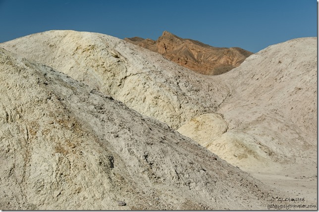 Our third day visiting Death Valley for the Super Bloom included a drive up and down to Dante’s View & Zabriskie Point. With so much diversity in the park we couldn’t limit ourselves to just flowers because the geologic story is ancient and mind-boggling.
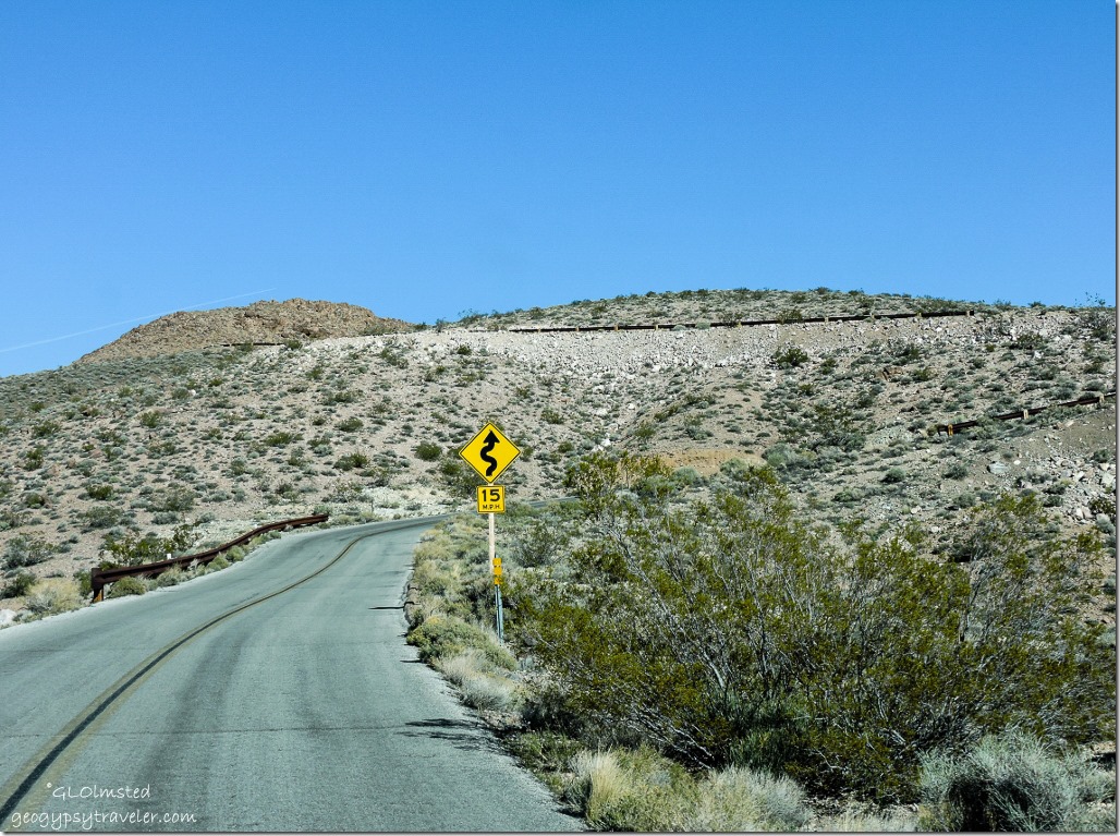 The 13-mile drive up to Dante’s View is challenging, two-lane paved, no shoulder, tight curves at the top, 5000 feet above the valley floor, and limited to vehicles no longer than 25 feet. Just my kind of road.
 The wind smacked us in the face as soon as we stepped out of the truck, a cold wind compared to the valley far below. But oh so worth it, briefly, for the view. I always love looking back at a place I’ve been or to a place I’m going. Not only did Dante’s provide the biggest view of the valley but also 11049 foot (3368 m) Telescope Peak in the snowy Panamint Range to the west.
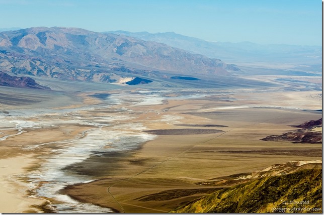 Death Valley sits between two gigantic mountain ranges today, Panamint to the west and Amargosa to the east. Yet in the geologic past this area has been covered by oceans, lakes, beaches, rivers, lava, and ash leaving behind multiple layers of limestone and sandstone sediments. The story began ~250mya (million years ago) when a shallow sea receded and movement of tectonic plates over the next 180my (million years) caused the earth’s crust to uplift, stretch, and fracture, forming fault lines. Tilting and rotating of two blocks of land between faults created Badwater Basin and the mountain ranges on either side. On top of these growing ranges volcanic ash and cinders were deposited over 60my and eventually revealed as the colors at Artists Palette. Then about 3mya crustal movement changed and the valley began to form, slipping downward along the fault that lies at the base of the Black Mountains to the east. At the same time, erosion from the mountains deposits rock in the valley. I guess it all balances out right now but will change again.
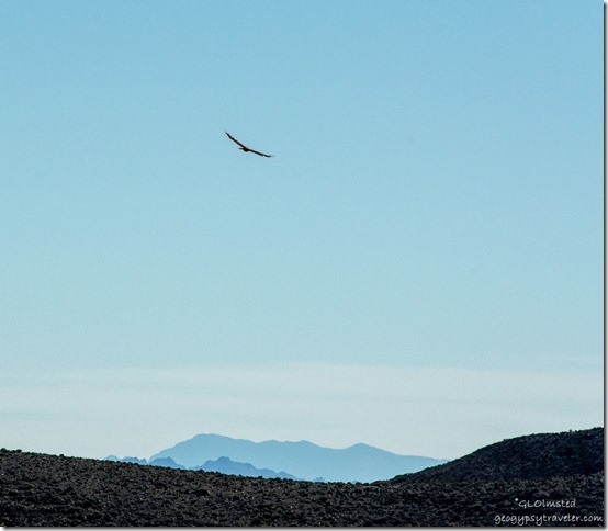 Watched a hawk soar on the hellish winds. Just imagine its view.
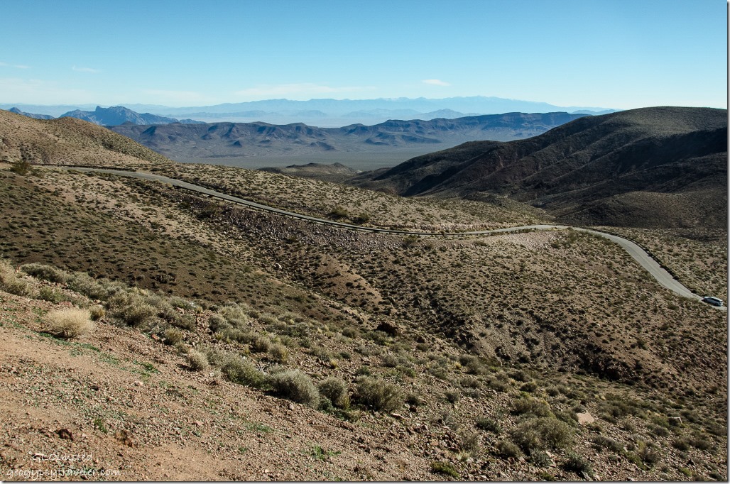 Then back down the road we went.
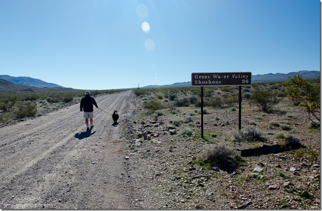 Made a stop to take Sasha for a walk on the gravel Greenwater Valley Road. One of few places in the park where dog walking is allowed. Although the road was signed for high clearance 4×4 the part we walked looked doable by any vehicle and could be an interesting route to Shoshone. Especially with the southeastern entrance into the park currently closed due to flood damage. You can also boondock along this road one mile beyond the paved junction. Something to consider if trying to escape summer heat in the valley.
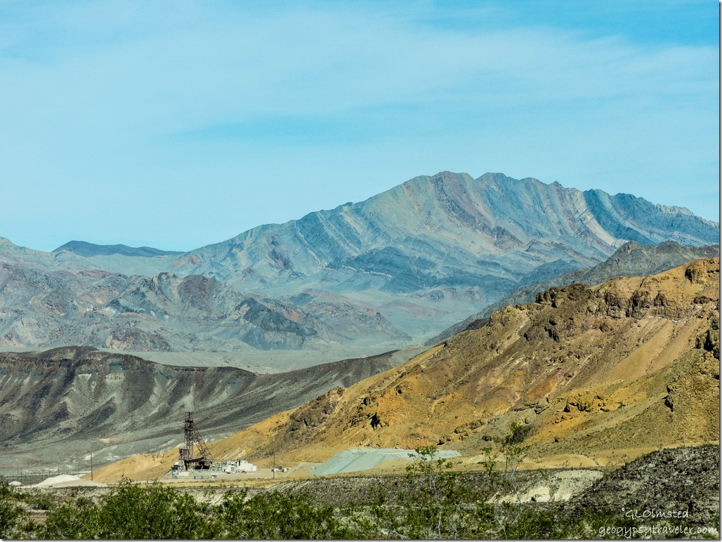 The lower section of the road to Dante’s View parallels the park boundary and evidence of mining is visible along the way. What a rough country to work and live in. Note the tipped and curved layers of rock in the distant mountains.
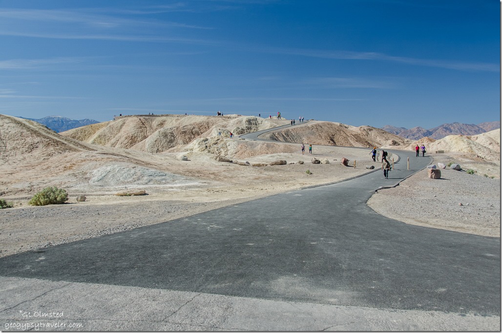 Next stop Zabrisikie Point, 100 yards from the parking lot the paved trail funnels visitors to known features and overlooks.
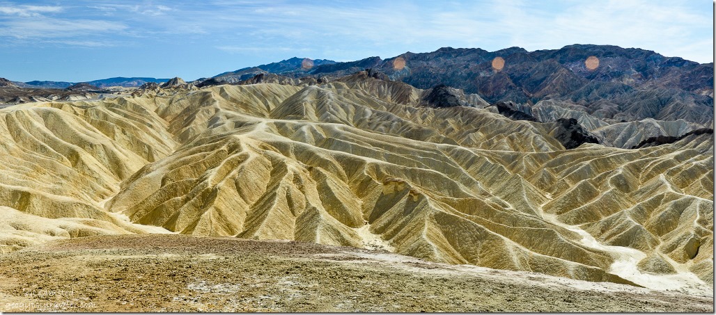 Panorama shot with multiple sun-spots
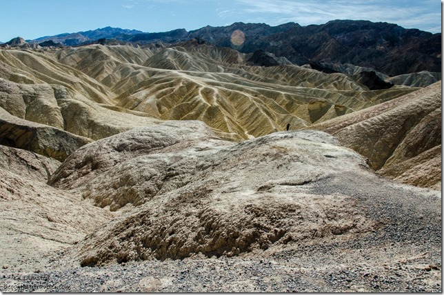
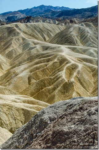
The badlands, with trails wandering in all directions. Erosion is one of the best tools for sculpting the earth, water, wind, and us.
The almost other worldly landscape seen at Zabriskie Point is part of the Amargosa Range on the east side of Death Valley. However, about 9-5mya lakes filled a long, mountain filled valley here. Fine silt and volcanic ash washed into the lakes, settling to the bottom, and ultimately creating a thick deposit of clay, sandstone and siltstone called the Furnace Creek Formation. Due to change in climate the lakes dried. The primary source of borate minerals gathered from Death Valley is from this 5000 feet (1500 m) thick formation.
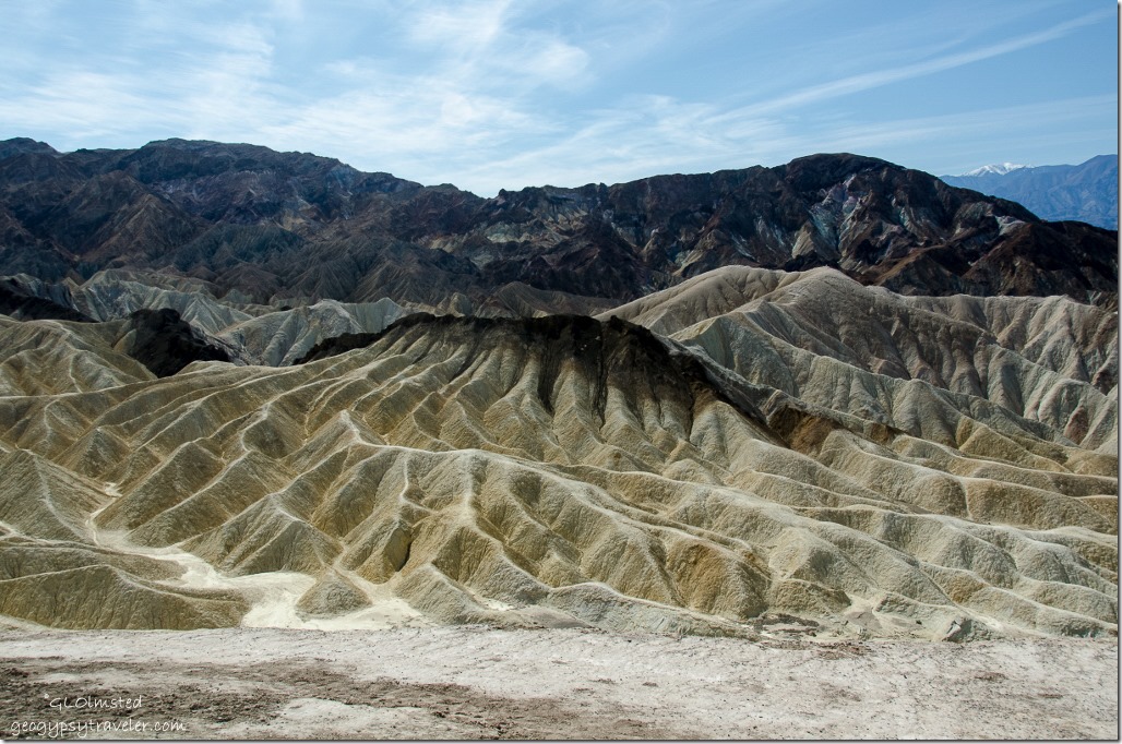 The dark-colored material capping the badland ridges is lava from eruptions that occurred 3-5mya. The layers are constantly being tilted by seismic activity and pressure, uplifted and eroded.
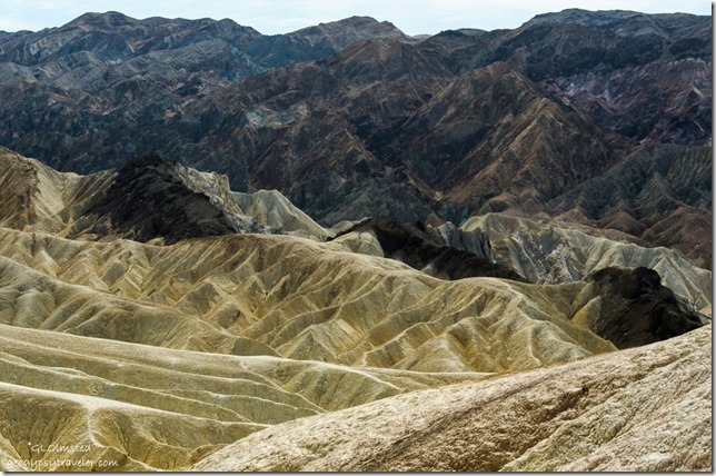 Imagine what it looks like here during a gully washer. The folds look like ripples of satin to me.
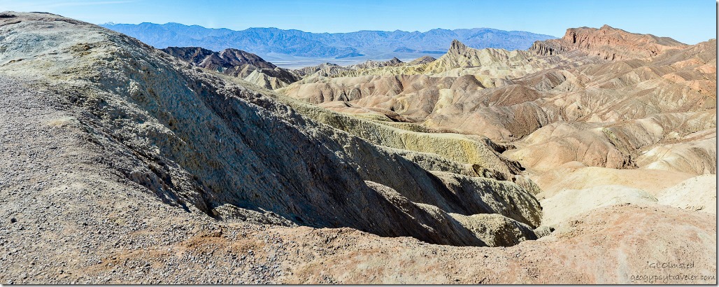 No surprise this location was used in movie making. One 1970 counterculture film named after the iconic overlook is not highly acclaimed yet the soundtrack features music by Pink Floyd, The Rolling Stones, Jerry Garcia and more so can’t be all bad.
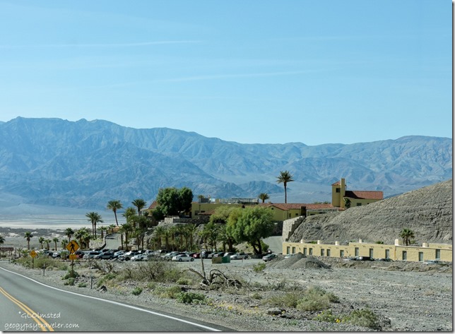 The overlook was named after Christian Zabriskie, vice-president and general manager of the Pacific Coast Borax Company in the early 1900s. The company’s twenty-mule teams were used to transport borax from its mining operations in Death Valley until the 1920s when borax was in low demand. So the company looked for other uses for their land and opened Furnace Creek Inn in 1927. They then initiated for protection of Death Valley which became a National Monument in 1933 and a National Park in 1994.
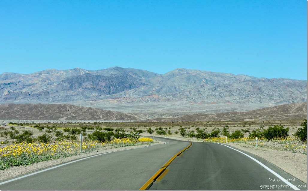 From Zabriskie Point we drove past Furnace Creek Inn then north through the flowers to hike in Titus Canyon Narrows.

I didn’t make it to Dante’s Peak when there…I was afraid it would be too much for the little Tracker. I am sure glad I got to see it through your lens, as your photos are phenomenal!
Thanks Suzanne. I think the Tracker would make it, in low gear. 😉
Nice shots of some iconic spots.
“Zabriskie Point” was not one of my favorite films, but it did have the only sex orgy in the badlands that I’ve ever seen, so there’s that. Hiking down into those hills was one of the more memorable walks I’ve taken.
I’m looking forward Titus Canyon, it’s one place I’ve never been. Well, there a lot of places I’ve never been in Death Valley, it’s such a huge park.
Don’t think I’ve seen the movie, and don’t think I will. We’d have done more hiking except couldn’t go with the dog. Titus is cool but my favorite, from last trip, is Mosaic Canyon.
Just smiled my way through your photos:) We were going to hike up further from Dante’s Peak but it was terribly wind and cold the day we drove up, so lunch was in the car. The hiking in the park is some of our favorite. Thanks for the memories:) We do need to return!
We couldn’t have hiked long up at Dante’s with freezing. It is a beautiful park to hike in, but not with the dog.
I’m just slack jawed at your pictures. The colors, the folds, the fabulous views – I had no idea. I guess I’m really glad for the 20 Mule Team guys even if they did hire Ronald Reagan. I really can’t stop looking at these pictures. How powerful this must have been in person.
Death Valley is so diverse and dramatic. Yet it seems that every park I visit is powerful.
What beautiful land. You are such a great geological tour guide.
Beautiful photos and thanks for all the informations that goes with them explaining how and when. Have a good Sunday Diane
Thanks Diane. Guess I’m part geology teacher.
Wow some amazing scenery, thanks for this wonderful guided tour.
Thanks for coming along.
We are big geology geeks and love all the stories written in the cliffs and folds of these amazing places. Your photos are like being there – like Sherry I just keep looking at them! We have the area on the list for the next time we’re in SoCal.
Thanks Jodee. Having just a base understanding of geology helps learning at each new place, building on the knowledge base. Death Valley is a must see.
Just caught up looking through all of your beautiful pictures, which bring back memories from our visits to Death Valley. Incredible place to visit and you really got lucky with the wildflowers. There was just a quick blurp on the news the other night about the super bloom which of course made me think of you and how great it is that you’re there. Enjoy!
Thanks Patti. Always happy to evoke memories. We might have gone to early for the real “Super Bloom” but what we saw was fantastic.
I kind of want to look for that movie. Stunning pictures , oh my gosh that one where you talk about the eons of time leaving an artists pallette of colors … that picture is as amazing as the facts about this place. I wish I’d had a camera and that I’d kept notes back when we went to DV and after your posts I really want to go back again. It’s been too long. Even though we’ll probably never be lucky enough to be there for the flowers, this post and the later one really really awaken the longing!
Thanks Sallie. It really really sounds like it’s time for you to take a road trip.
The Jeeps in Titus Canyon had to be more surprised to see you, than another rental car trying their luck! For sure the fry bread for breakfast, but the Indian taco … imho … might be an acquired taste.
True, they might not have been expecting hikers. I’d do either, or better yet both.
Lovely pictures.
Do you have any pics of the crowded campsites? I’m most interested in seeing how crowded Sunset Campground is now that they had to open it to tent campers overflowing from Texas Springs campground.