Two deserts meet in Joshua Tree National Park, the lower Colorado below 3000 feet and higher elevation Mojave. My first day in the park, entering from the western entrance at Cottonwood, I spent exploring the lower desert of Joshua Tree.
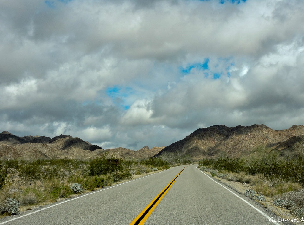 After avoiding the weekend crowd, and the rain, I left my free BLM campsite just outside the west entrance of the park driving over the 2800 foot Cottonwood Pass sandwiched between the Cottonwood and Eagle Mountains.
First stop, the Cottonwood campground to take advantage of their RV dump station. Although not a fun chore it’s a fact of life living on the road in a RV with holding tanks. Fill the fresh water tank and dump the black and gray. I can usually go three weeks, conservatively, and was on week two but planned to be in the park almost a week. I did get a bit of a cold shower when the water came out like a fire hose. It’s a double dump station with easy access and no extra charge over park entrance fees and I have a Park Pass for that. Even if you’re not in a RV this will be the last place for water until the eastern park entrances in 29 Palms at 38 miles (61 km) or Joshua Tree at 56 (90 km). So fill up those containers.
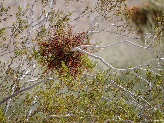 Chores done, I stopped into the Visitor Center to ask about the mistletoe growing mostly on the scrub oaks. The bright red berries really stand out and I know mistletoe is a parasite so I wanted to know if it was native to this desert landscape. The Ranger informed me it’s considered a “semi-parasite” because it does absorb nutrients from its host plant but is also capable of photosynthesis so doesn’t typically kill the host unless there is too much growing on the tree or the tree is environmentally stressed due to extended drought. Many birds and small mammals eat the mistletoe berries then poop and spread them around. It is not considered a problem in the park.
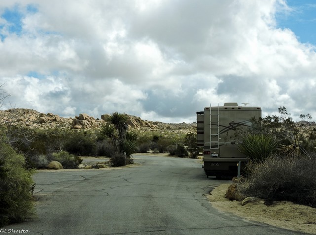 Being happy with that answer, I felt ready to continue into the park across the Colorado Desert landscape headed for White Tank campground, which at 3800 feet (1158 m) is in the other desert, the high Mojave. I could have hiked the 7.2 mile (11.6 km) round trip trail to Lost Palms Oasis starting just beyond the Cottonwood Springs campground but having recently explored palm canyons at Anza-Borrego chose not to. However I did drive through the campground which is of the old National Park design clearly set up with tent camping in mind. The parking for sites is small with only a few parallel to the road for larger RVs maybe up to 30 feet. It be tight. No hookups, pit toilets, and endless desert to explore but I’d stick with the free BLM camping outside the park.
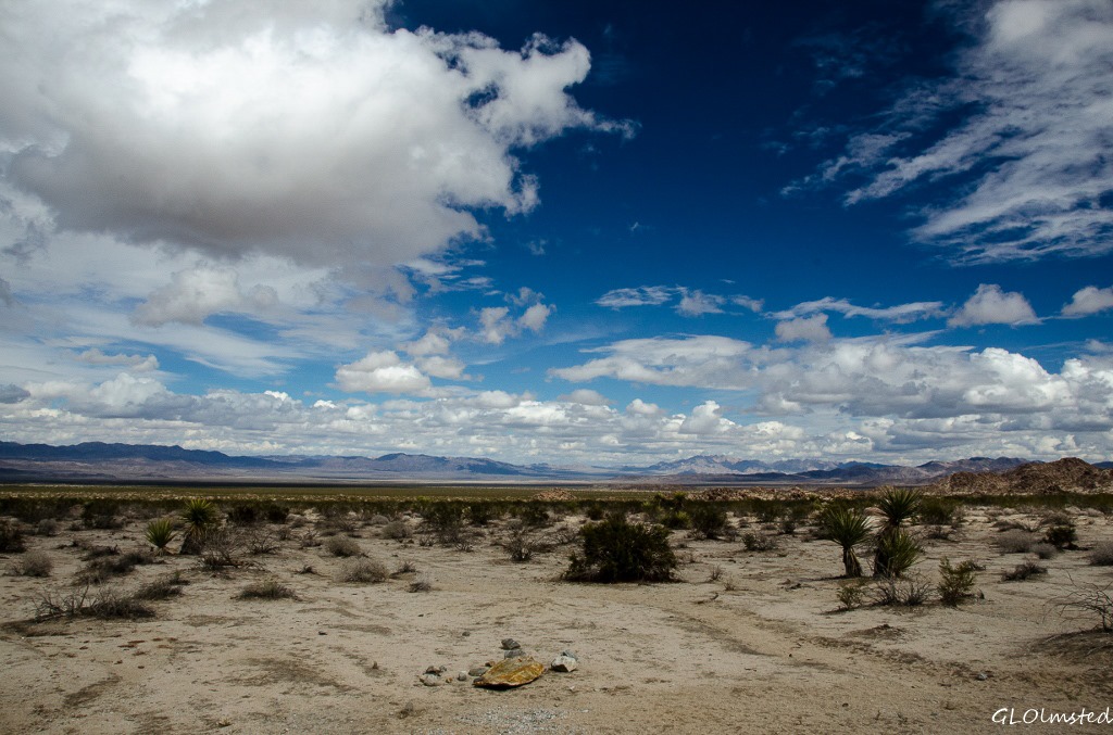
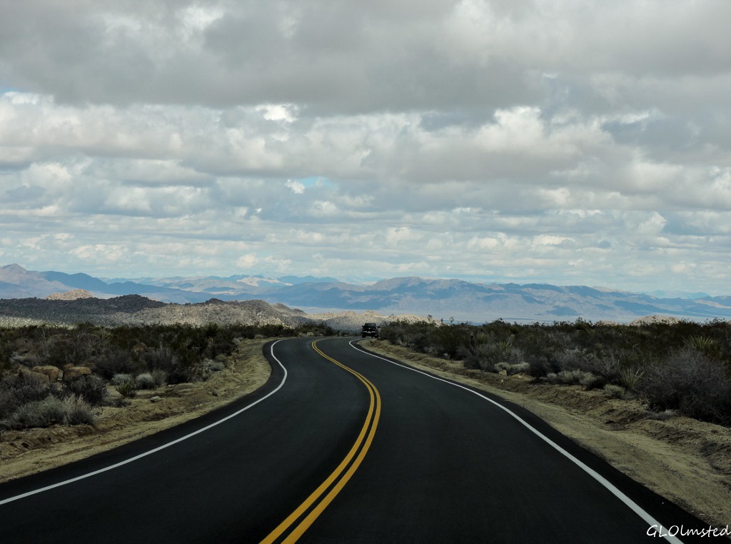 Continuing on Cottonwood Springs Road which meanders across Smoke Tree Wash I was glad for the many paved pull offs because the shoulder looks soft. Not a safe place to be during a flash flood. I stopped many times to admire the spidery ocotillo, green-barked palo verde, smoke trees, patches of cholla cactus and the dominant creosote. Not much in bloom yet but the recent rains will bring that on soon. No Joshua trees yet as they grow at a higher elevation.
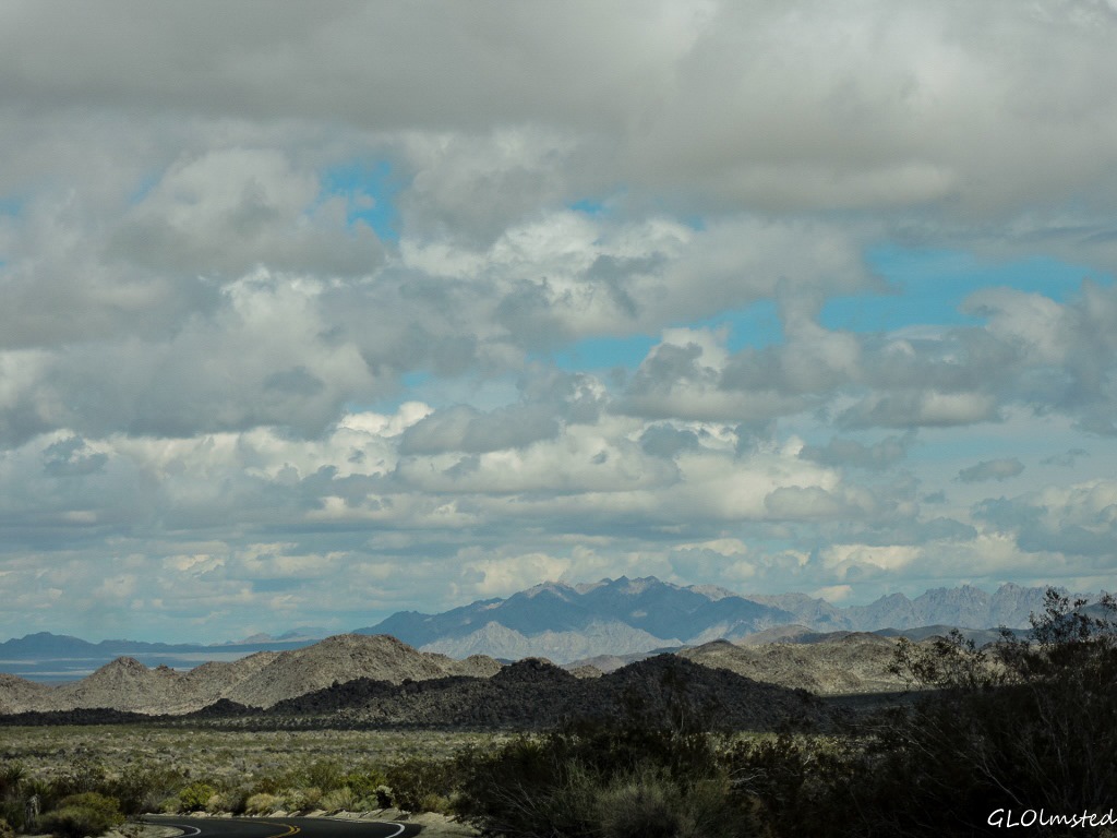 The Colorado desert is hot and dry, dry ground and dry air. Non-desert dwellers often miss the beauty found in these adaptive plants and animals living under a relentless sun, little water and summer temperatures over 100F (38C). I appreciate these survival skills even if I don’t want to be here in summer. Seeds can lie dormant for several years until conditions are favorable. The kangaroo rat, amongst others, obtains water from the food it eats. Most animals travel during the cool of night and I did not see them.
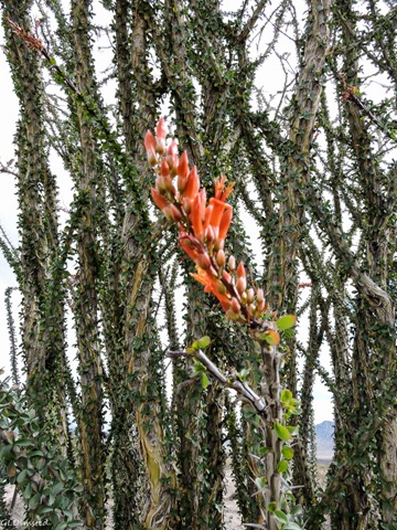 The paved road turns northwest into Pinto Basin at a junction with Old Dale and Black Eagle Mine Roads which lead to mines outside the park and require 4×4. I headed across Turkey Flats, presumably named because of an unsuccessful try at poultry farming, and stopped at the Ocotillo Patch. Being the leaves of the ocotillo are rain dependent they can grow and drop as often as five times a year and the recent moisture had a few of them blooming with fire red tips.
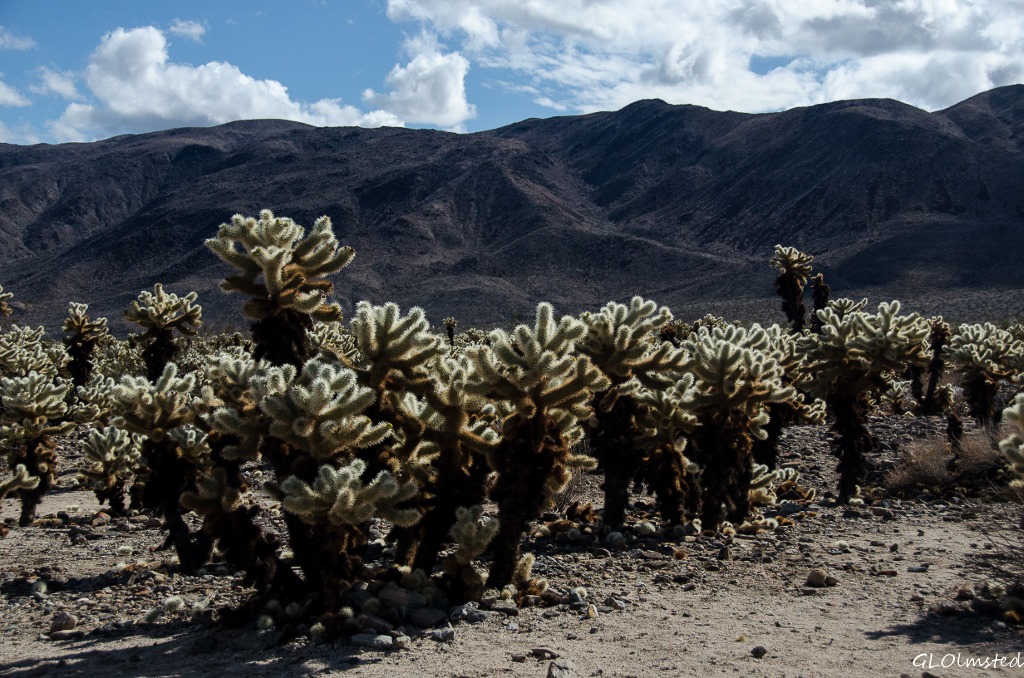 Next stop, the Cholla Cactus Garden, not a place to sit for a picnic, but the 1/4 mile nature walk guided me safely through a wonderland as the cactus spines glowed under an afternoon break in the clouds. You really don’t want to touch or even get near these “jumping” cholla as their spines easily embed in your skin and clothing but aren’t easily removed and can be quite painful.
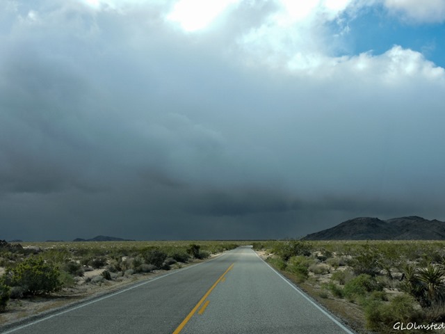 Leaving the, slightly, warmer Colorado Desert through a transition zone into the Pinto Mountains and Mojave Desert the temperature dropped as the altitude rose and the last remnants of a storm passed over as I pulled into White Tank campground.
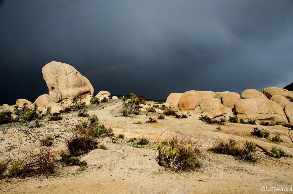 I actually enjoyed the soft rain which is a gift to the desert and received a rainbow gift in return.
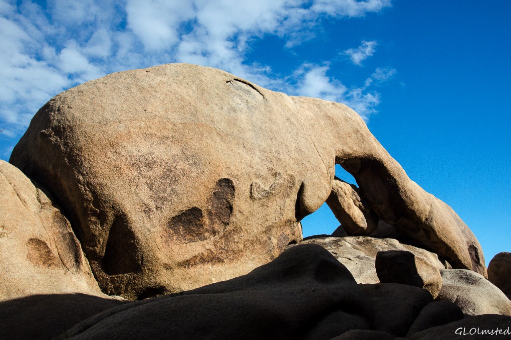
Sunshine returned and I walked no more than 1/10th of a mile from my campsite to Arch Rock. I looked for a way to get behind the arch for sunset but it would have required some serious bouldering which I didn’t want to do returning after dark.
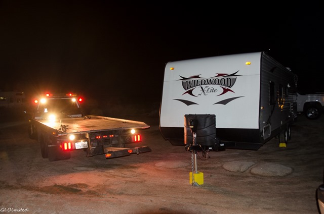 I backed into the last of 15 campsites off the turn around at the end of the loop in White Tank. None of the parking sites are big with some barely large enough for a small car. No water, pit toilets, $10/night or less with park passes. A sign at the camp entrance states nothing over a total length of 25 feet, and personally I think that would be pushing it. In fact just before dark, a man and his wife pulling a too long trailer hung it on the turn around and he had to disconnect and get a tow truck to get out. Poor guy, I’d have been freakin’ and frozen. Night temps got down to the high 30s.
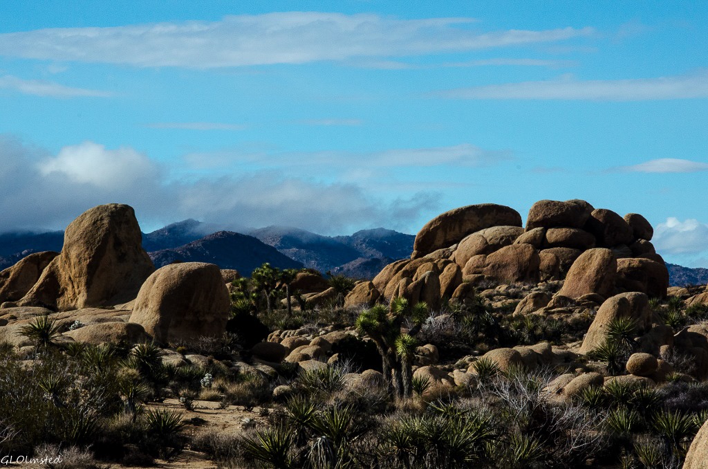
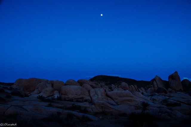 The opportunities to climb and hop from boulder to boulder are many around White Tank and I went out in the morning for a little exploration. And there were Joshua Trees! I was in the Mojave Desert now.

As always, Ranger Gaelyn is out there reporting the world to us. Your naturalist and Park Service eyes take in so much. Enjoyed it as always.
Thanks Stephen. Hope you’re still enjoying the monument. Haven’t seen a post in a while.
Gaelyn, I’m confused…isn’t Cottonwood on the east end of the park and Joshua Tree and 29 Palms on the west? Not important, really. I LOVED your photos! You are doing well with your new Nikon!
Cheryl Ann
Don’t feel bad, I’m confused too. The park calls them south and north entrances but when I look at a map Cottonwood is on the west side of the park. Go figure. And now I have two Nikons and use the smaller Coolpix600 for my driving camera.
I think you are both slightly confused. Let me suggest that you try this. Open Google maps and enter Joshua Tree National Park. When it opens click on “search nearby” and type “campgrounds”. This will show all the campgrounds in or near Joshua Tree N.P. and will also show the position of Cottonwood in relation to all the other camps plus it will show the entrances to the Park.
I think that will clearly demonstrate that Cottonwood is accessed from an entrance on the southern side of the Park and the Joshua Tree and 29 Palms entrances are on the northern side.
But of course, you are right Ed. Even with maps and compass I get confused in southern CA thinking the ocean is always to the west.
Thanks Ed. That makes sense!
Oh I love the Southwest and your post took me right along with you, through it! Cholla Cactus is so beautiful – from a distance of course and the shots of the rocks against the darkened storm clouds are stunning!
Thanks Jackie, I too love the SW and the cholla glow from a distance.
We stayed in Cottonwood CG and our 30′ fit into one of the pullout sites. It was a great location to be able to hike the trails right from our site.
Your photos are beautiful!
I’m sure some of the biggest rigs I saw in Cottonwood were at least 30′, no room for a toad. The hiking there intrigued me but I really wanted to get into the rocks.
Beautiful pictures as usual. I am so unfamiliar with the trees and plants you refer to but your pictures make them look very interesting. I would love to see both the Joshua Trees and the cholla – from a distance. I love staying in the parks for the same reason as Jim and Gayle so I’m sorry to hear that at 35′ Winnona is too long. I don’t know how Jim and Gayle Full time in a 30′. It’s the storage bin space I’d be hard pressed to do without.
Thank you Sherry. I’ll try to add more of the plants in the future posts about Joshua Tree. Probably would want to check the park’s website for specific RV lengths in camps because I’m not always the best guesser. Seems RVs never have enough storage, but what they do is full.
I Wanted to be a work camper here so we could have the one big RV w hookup space that we saw in the whole park. It was at the ranch, I forget the name of it at this instant. We stayed in 29 palms . We really loved this park and I really hope we can go back. I’ve been told you either “get” Joshua tree or you don’t. We did. And oh I just remembered, that part of the park is Keynes Ranch.
OH YEA, my first visit to Joshua Tree included a Keys Ranch tour and when I saw that host site I too coveted it. What a dream. Reservations for the ranch tour were three weeks out.
I always enjoy the posts of your travels. You have some great moonscape photos especially the one with the dark skies and white foreground.
Amazing how things change, even the requirements for up to date campgrounds.
Thanks Yogi. Our park campgrounds weren’t built to handle the size of the RVs that are out there now. No two bathroom models here. 😉
A stunning place Gaelyn. I did not know the ocotillo got flowers and Arch Rock looks more like an elephant to me but then, I am from Africa. LOL!!
Wait until you see the elephant rock I saw.