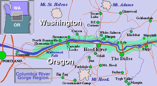
 Being the Columbia River carved through the Cascade Mountains to create the closest route to sea level it’s not surprising that Lewis and Clark took this water option on their journey west. But today there are three road options and two railways that parallel the river in the two states that border it. Washington and Oregon both offer highways and byways along the Columbia River Gorge.
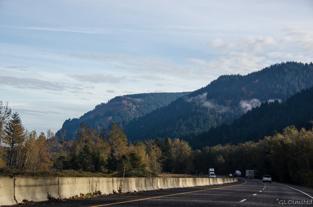
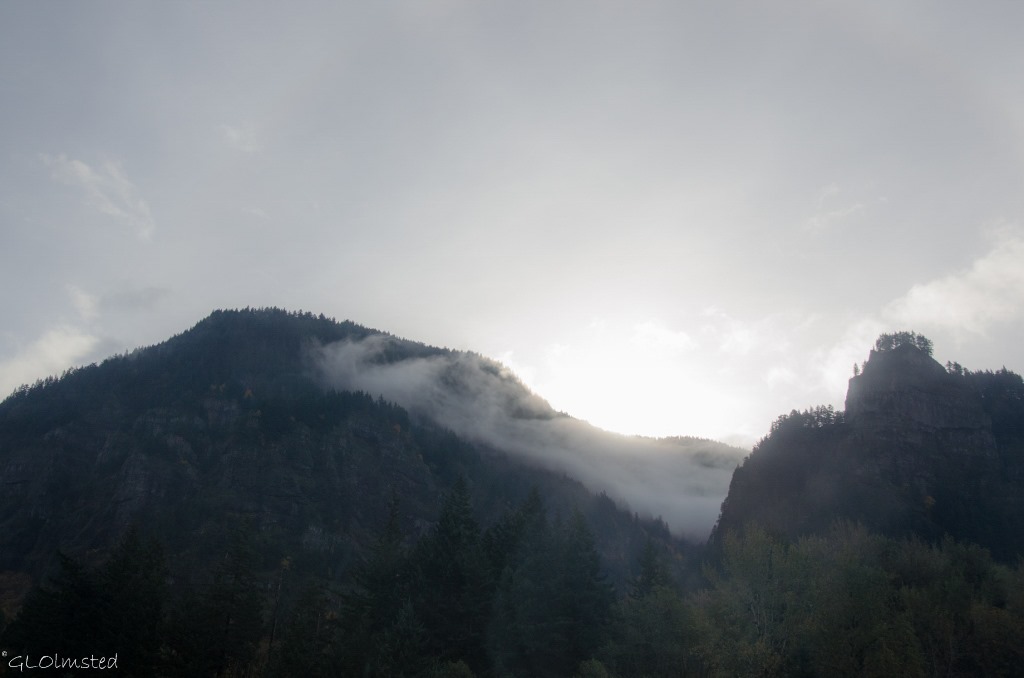 It was a gray day with clouds hanging low on the mountains. Yet the fall colors marching up the hillsides rocky cliffs brought light to the day. Berta and I took Interstate 84 east from Troutdale to Cascade Locks traveling about half the 75 mile Columbia River Gorge. Although providing scenic views there’s no place to pull over except for the Multnomah Falls exit where we didn’t stop.
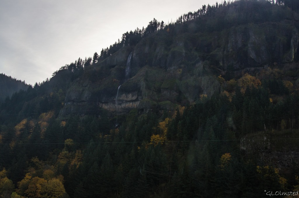 As a passenger I looked longingly at multiple waterfalls along the way.
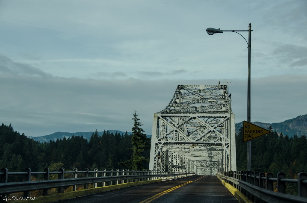 We crossed the mighty Columbia on Bridge of the Gods paying our $1 toll to Oregon. I call this the “hum” bridge as the metal grid brings song to the tires.
Washington 14
After visiting a friend we returned west on State Route 14 and I thought about all the times I’ve driven this route, although it had been a while. Back in 1996/97 I worked for US Fish and Wildlife living in Underwood on the east end of the Gorge. The following summer I lived and sold at a flea market in Carson. It’s simple rural country like you know I love but did mean a drive for shopping to either Vancouver or Hood River with Gorge-ous views along the way.
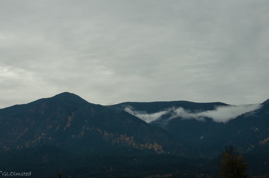 One of the best things about driving on the Washington side of the river is looking across at the Oregon side.
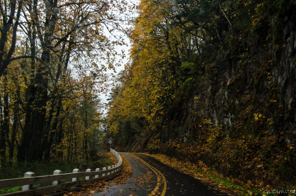
Finally, on our last full day in Oregon we drove east under increasingly heavy skies on the Historic Columbia River Highway. Considering the lack of sun the glowing fall leaves gave off an almost eerie glow. And the wet leaf covered roadway could be slick but it’s a slow drive. Built between 1913-22, as the first planned scenic roadway in the US to be modeled after the great scenic roads of Europe and designed with an elegance that took full advantage of all the natural beauty along the route. Grades, curvature, distance and even expense were sacrificed to reach some scenic vista or to develop a particularly interesting point. Imagine driving this in a Model-T.
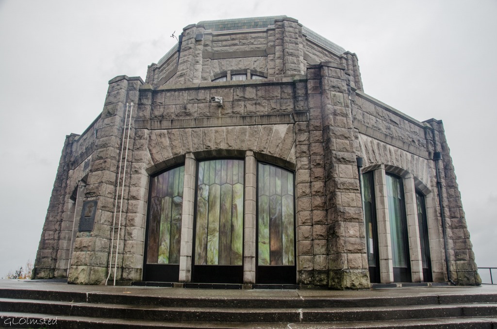 First stop, barely between the rain drops, Vista House built in 1918 on Crown Point as a rest stop observatory. The Vista House was designed as an example of modern German architecture, or the German equivalent of Art Nouveau. The gray sandstone structure is 44 feet in diameter and 55 feet high standing out as a landmark from both sides of the river. Commercial activities, like concession gift shops, have operated here since it’s opening. Then in 1982 the Friends of Vista House was formed by a group of community volunteers and in cooperation with the Oregon Parks and Recreation Department operate the building in a more interpretive manner. Unfortunately it’s only open on weekends so we could only peek in the windows. The first photo shows a view from Vista House that would certainly be better on a clear day.
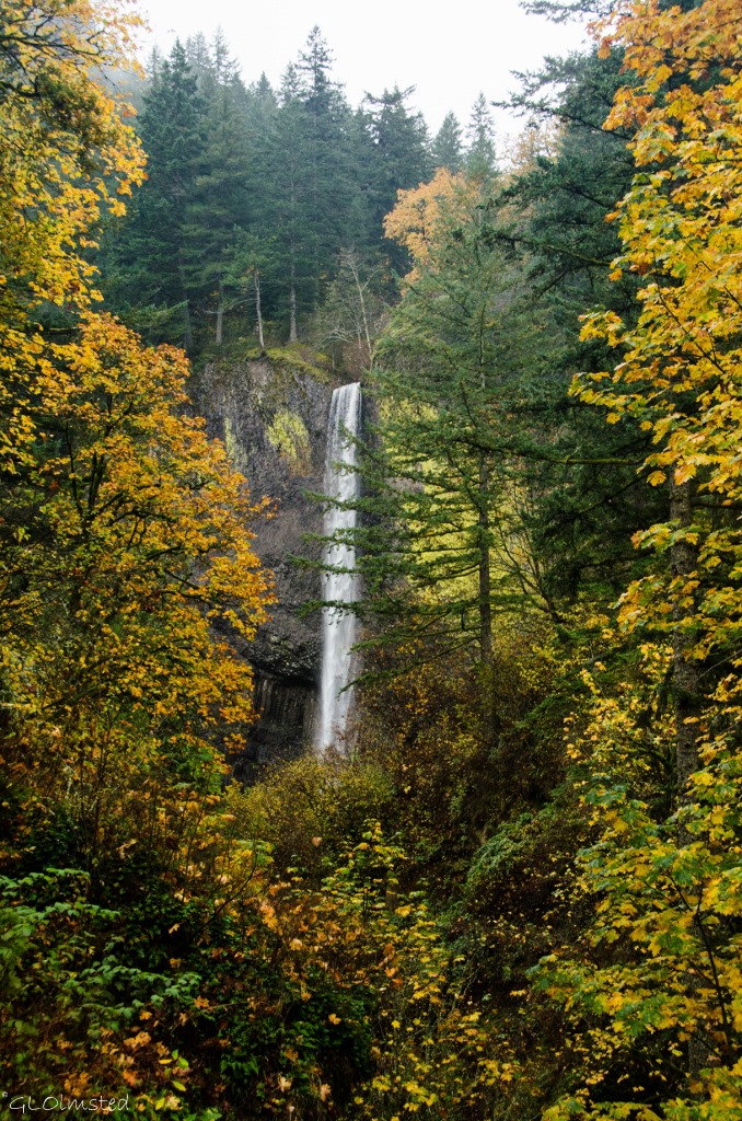 Latourell Falls Guy W Talbot State Park
Instead we dealt with the rain making a few quick stops at easily accessed viewpoints. Upon completion of the highway in 1915, many generous landowners donated property in an act to preserve and share the splendor and create scenic stops along the way.
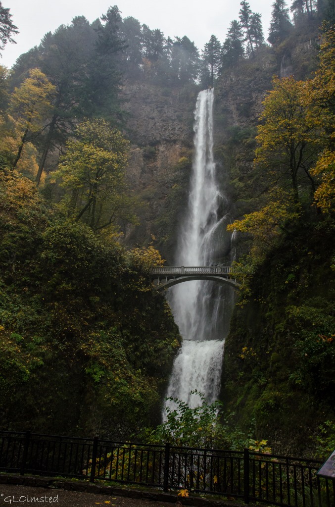 By time we got to the famous giant of Multnomah Falls the rain had seriously increased and Berta almost didn’t come for a look. I couldn’t help it. I was drawn to the sound of the thundering water. Trying to hold the camera under my rain jacket yet still got tiny water drops on the lens. Multnomah Falls is the second highest year-round waterfall in the US and one of 77 on the Oregon side of the Columbia River Gorge. Created by underground springs from Larch Mountain the falls plunge off steep basalt cliffs 543 feet to the upper pool then another 69 feet before flowing into the Columbia River.
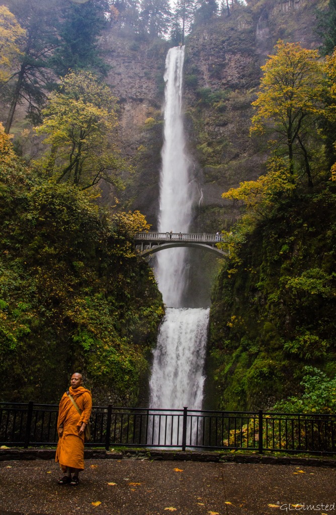 I paused to allow for the photo of the monk by his two companions then couldn’t resist one myself due to the bright colored wrap that almost matched the fall colors. I usually take landscape photos, trying to leave people out. Yet this was definitely ‘the’ photo of the day. At least the rain reduced the crowd.
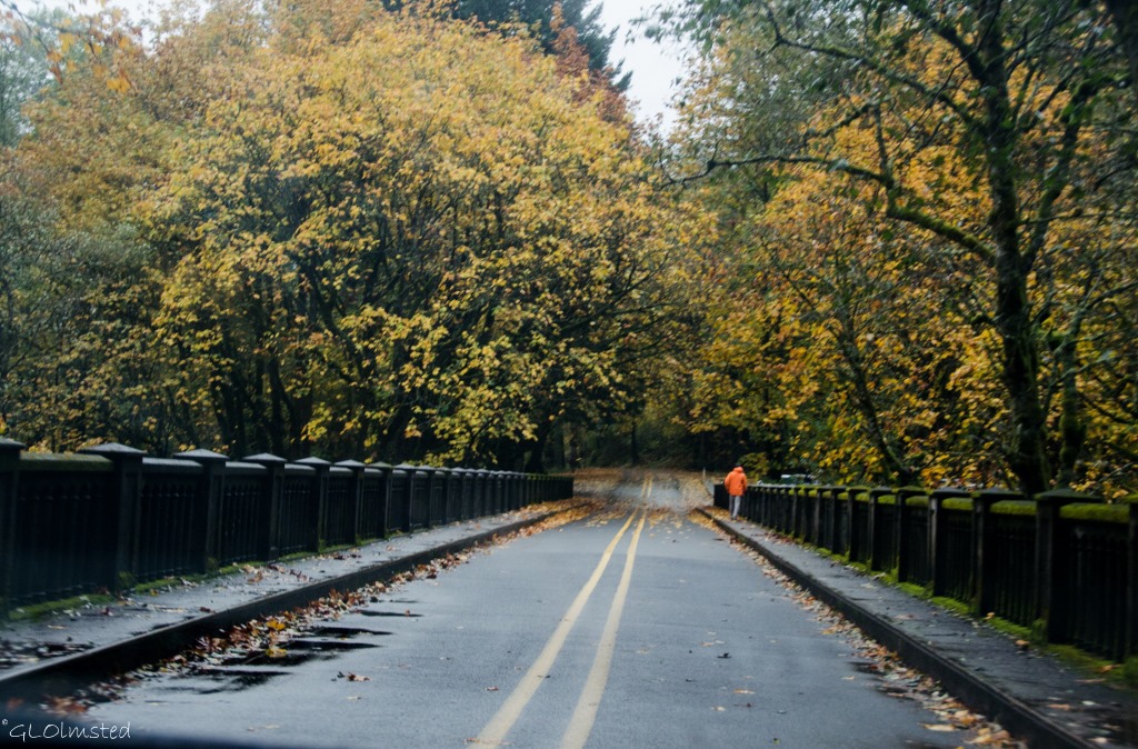 We didn’t stay very long or continue east for more scenic opportunities and instead returned on the scenic highway driving slowly in the rain on the oil slicky leaves. We stopped at the Tippy Canoe where we split a huge burger for lunch.
Train
Before locomotives and 45 years after Lewis and Clark braved the Columbia River, Hardin Chenowith built the first railroad in what would eventually be Washington. A wagon on wood rails pulled by a single mule assisted early settlers around the Columbia’s rapids in 1851 for 75 cents for every 100 pounds of freight. Between 1855 and 1862 Joseph Ruckel and Harrison Olmstead operated a similar operation on the south side of the river. (Wonder if he’s an ancestor of mine.) This was followed by the first steam engine in the Pacific Northwest called the “Oregon Pony”. By 1908 the Great Northern Railway and Northern Pacific Railroad completed a line along the north side of the Columbia River.
Today the Mount Hood Railroad offers scenic excursions along Oregon rails including trail robberies, murder mysteries and a polar express.
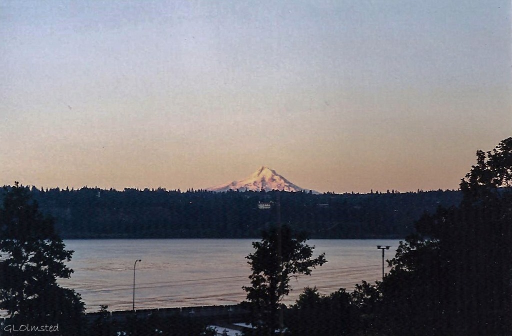 Rail lines run between the highways and the river in both states. My Fish & Wildlife housing looked across the Columbia River and sat about 100 feet from the Washington SR14. Those trains ran every 22 minutes.
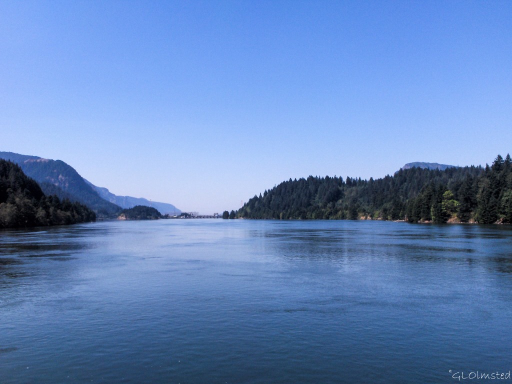
Once thought to be the Northwest Passage, this powerful river of the west begins in British Columbia, Canada and flows 1200 miles to the Pacific Ocean at Astoria. The second largest river in North America has been altered over time from the raging waters Lewis and Clark faced to a languishing series of pools between hydroelectric dams. Steamboats, railroads, and highways replaced canoes and rafts. Barges hauling grain, livestock, lumber, fruit, and vegetables still ply the water’s today.
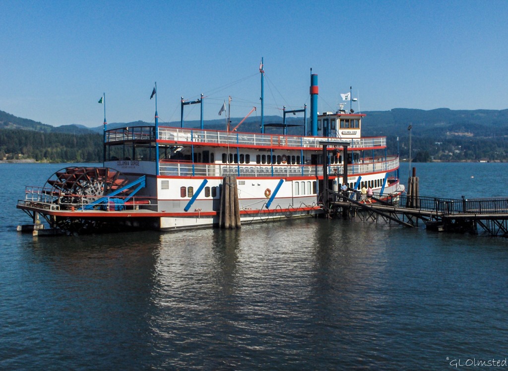 Steamboat excursions are available out of Portland and Cascade Locks. In 2006 I enjoyed a champagne brunch aboard the Columbia Gorge out of Cascade Locks.
Because I love rocks here’s a brief geology of the gorge. So, about 40-20 million years ago thousands of volcanic eruptions piled layers of volcanic ash, lava, and mudflows over this region. Millions of years later, mudflows poured off those volcanoes, covering the land with hundreds of feet of ash, boulders, and cobbles. 17-12 million years ago volcanic cracks in the earth’s crust spread lava across the region up to 2,000 feet (600 meters) deep frequently cooling into columnar basalt. 2 million to 700,000 years ago hundreds of volcanoes erupted during uplift of the Cascade mountain range and the Columbia River carved out a deep gorge. During the last ice age 16,000-14,000 years ago a 2,000 foot (600 meters) high ice dam that blocked the river collapsed hundreds of times allowing for quick floods to scour the Gorge.
 Columbia River Gorge National Scenic Area
Even if you’re not into the geology, the Gorge offers miles of hiking through lush forests, past waterfalls and streams with distant views of the Cascade Mountains. The Columbia River Gorge National Scenic Area was established in 1986 to protect and enhance the scenic, natural, cultural, and recreational resources of the Columbia River Gorge encompassing 292,500 acres, approximately 85 miles long and approximately 4,000 feet deep. There’s a lot going on in these acres including wilderness areas, 13 cities, 6 counties, 4 developed campgrounds, 13 state parks, 2 National Trails, 57 Forest Service trails with a combined length of 218 miles, 53 waterfalls, 2 scenic rivers, over 800 species of wildflowers, more than 200 species of birds, and many species of large and small animals. Whatever your interests, you just can’t go wrong here.
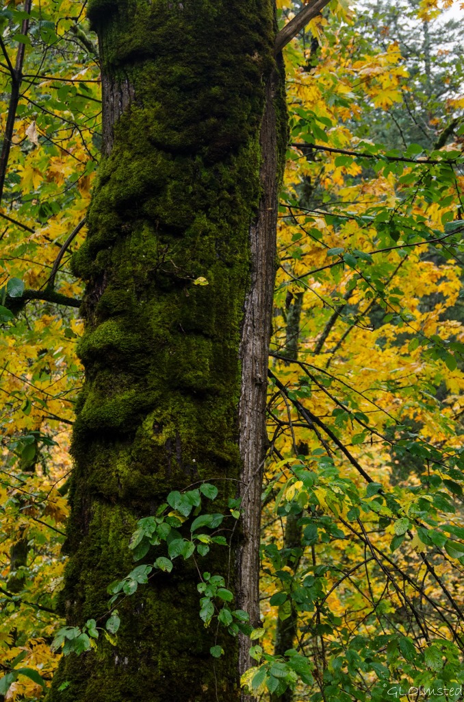 After a week in Oregon, Berta described the weather as “drippy” and says if a building hasn’t been painted in the last week it needs it. Yet there wouldn’t be the lush growth, waterfalls and rivers without that drip. Every season is gorgeous in the Gorge. Summer can be very busy with 2 million visitors a year. Yet there are so many options, by road, rail, water or foot. And although a little ‘drippy’ I found fall a gorgeous time to visit.

Brings back good memories. We spent Aug thru Oct 2009 volunteering at Bonneville Lock and Dam. In our three months there we barely scratched the surface of all the trails along the Gorge. October did get a little too cold and “drippy” for us!
That must have been a cool gig. What did you do there?
My problem was always the wind, one way or the other, all the time.
It seems like everybody but me has been to the Vista House.
I really liked the photos of the falls and the scenes off the scenic road. Heather has a cousin who lives in or near the Gorge somewhere. We might have to do the Griswold thing and crash in on him.
I’m all for the Griswold thing. Get a camper and go. You’ll love it. But not this time of year. 😉
I spent five years running the hwy 14 side as often as I could. There are an incredible number of “nooks and crannies’ and small one lane side roads that a small camper can fit into along there. I loved it.
The Gifford Pinchot NF offers a lot of options off that highway as well.
So many fond memories of this place, although we’ve yet to drive the WA side of the gorge. Gotta go back for that.
Nina
All the routes are Gorge-ous. The WA side width is narrow but not as much so as the OR historic. Could be challenging with the Beast.
I love that area so much. Did you stop and see the Sturgeon?
No time for Sturgeon, which I’ve seen before. It really was a quick trip. I could have spent more time and seen a lot more. But, sometimes that’s just the way it goes.
I drove WA14 from McNary Dam to Camas on 30 June 2007 on my way to Battle Ground from Hood Park near Pasco. Then again on 11 June 2009 from The Dalles to Battle Ground and back along it on 13 June 2009 on my way to Othello, WA.
Don’t know if I will ever do it again but it is a great Blue Highway. Something Steinbeck would have driven and perhaps William Least Heat Moon but I don’t remember if either of them did.
Used to shop in Battle Ground while working at Mt St Helens. WA14 is a wonderful ‘blue road’.
Boy you really are traveling. Great pictures today. Love the clouds nestled in the mountains. So glad you got out to get the pictures of that beautiful waterfall. Great Mount Hood and river pictures too. Looks like you are having a fabulous time regardless of the weather. That’s the ticket!
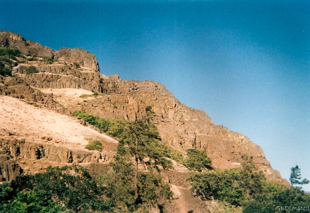
It was wonderful to be back in the wet country for a little while but I do love the deserts in winter. Funny, the Mt Hood and river shots are old pre-digital. Hope your travels are going well.
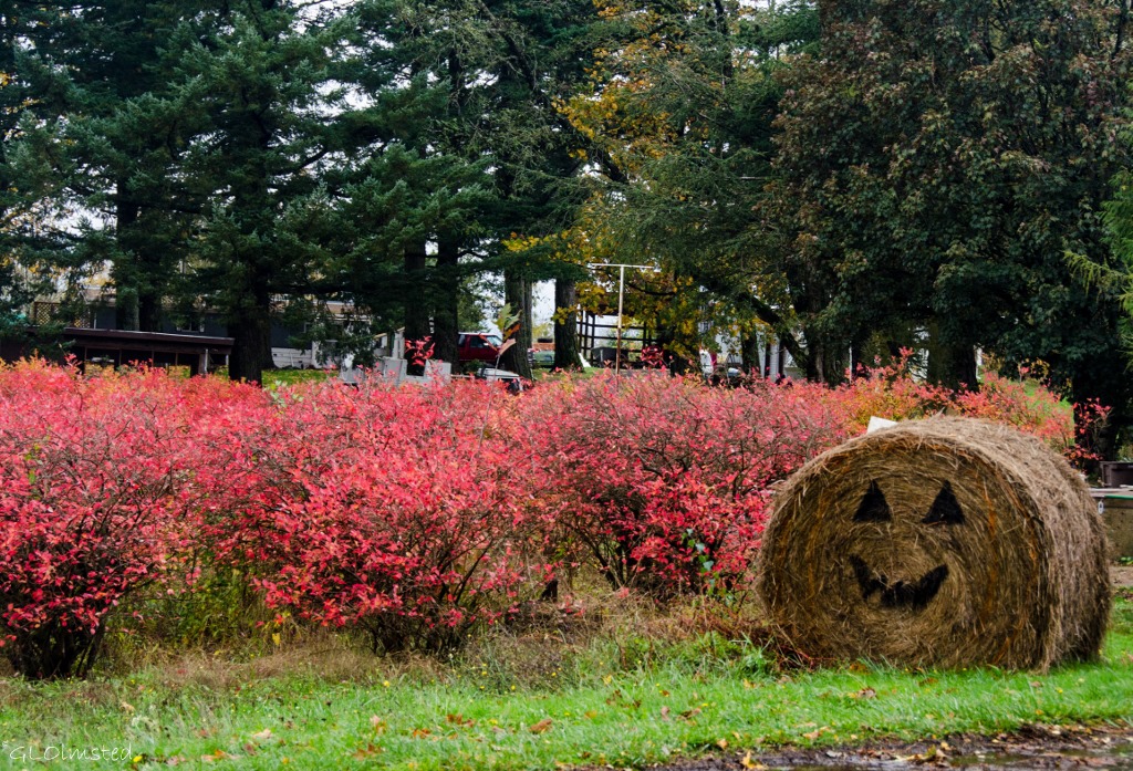
So many, as you say, ‘GORGE-ous’ photos here, and I love the bridge that hums and the happy hay bale. Now you’ve made me anxious to get to Washington state to see my daughter; not near the gorge, but I can smell the clean air.
You won’t be too far from the Gorge, although the roads could be icy by then. A wonderful thing about rain is the fresh smell.
Beautiful photos, thanks so much for sharing this virtual tour, I have loved every bit of it and those falls are stunning. Keep well and drive safely. Diane
Thanks Diane, one of the highlights from the Oregon trip.
Absolutely loved seeing another area of the U.S. through your eyes. Can’t wait until you get that truck camper out and about on some trips.
Thanks. I like to take you along. I’m getting the camper ready to hit the road. Maybe after Thanksgiving.
This is truly a beautiful area and you’ve captured it well in your photos. Bob and I were traveling through most of the same points a couple years ago (in the rain). There has to be a reason why it’s so green, right?
Thanks Barb. Definitely the “wet” side.
That’s one drive, on both sides of the river, I never tire of. Your photos are especially enhanced by the rainy weather and autumn colors. Great trip you had!
A short but good trip indeed. The Gorge is Gorge-ous from all routes.
Familiar territory but love seeing it through your eyes (and wonderful pictures). . We remember when that scenic highway was the only one along the gorge. (We grew up in Clarkston — as far East as you can get in Eastern Washington )… Both of us remember a couple of childhood family trips to the “huge” city of Portland along the exciting old highway.
Later, after we moved to Oregon, we made a zillion trips along the new highway (b/c our parents were all still in Clarkston). It never got boring though. Just a wonderfully scenic drive but the weather is definitely a crap-shoot this time of year.
So many have connections to the Gorge. What a great place to grow up, the dry side. But in most of the wet side of the PNW the weather is almost always a drap-shoot. 🙂
The Pacific Northwest is such a beautiful part of the country. I feel fortunate that we were able to live in southern Oregon for a few years. We have a lot of great memories! Thanks for sharing your adventure and such pretty photos!
I do love the lush beauty found in the PNW, but also get tired of the gray and rain. But that’s the trade off.
A beautiful area. Much like the Garden Route. Absolutely love that waterfall!!!!!!
The density of growth is certainly much like the Garden Route area.