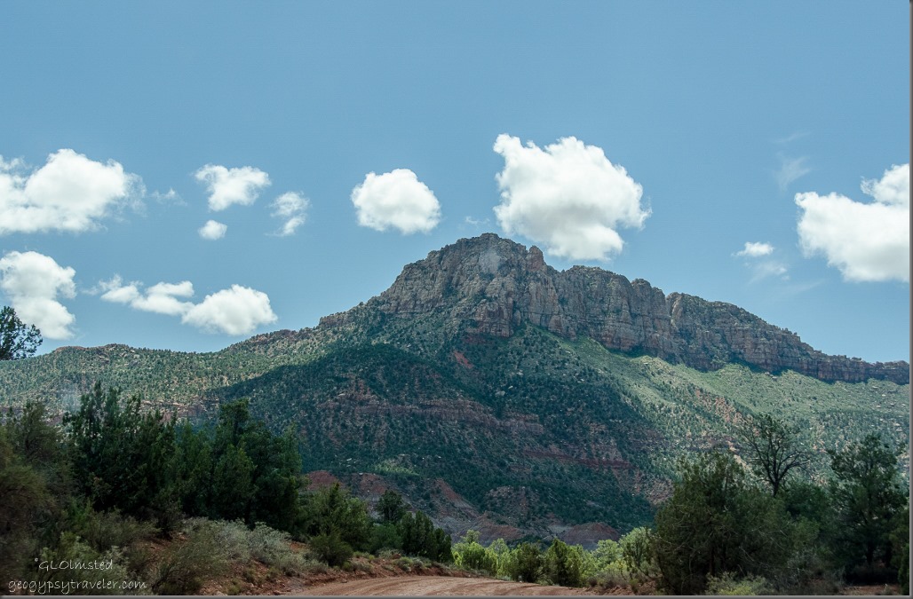
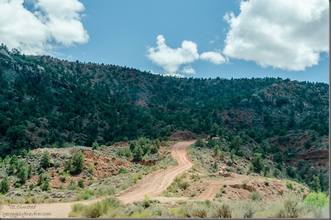
 After exploring the historic town of Grafton we took a drive on the Smithsonian Butte Back Country Byway which took us up a graded dirt road.
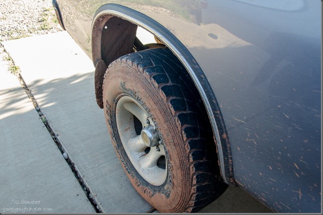 Although it’s typically suitable for most vehicles the sharp curves and half-mile of 800 feet steep grade should not be attempted after rain or snowfall. It was only a little wet so Bill’s 4×4 made it no problem and only mudded the truck a little. But the already dirty windshield did make for some blurry photos along the way.
 We pulled over for the breathtaking 270 degree view. I stood in awe repeating “Wow!” Wonder if BLM (Bureau of Land Management) will let me build a house here, a tiny house, with two stories and wrap around porch. I’d like a rocking chair on each side please.
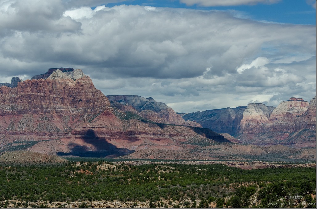 From 4920 feet (1500 m) the pinyon-juniper woodlands stretches below to the Virgin River floodplain where the sandstone buttes of Zion National Park rise up to the north.
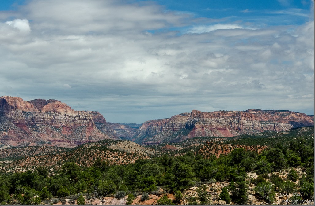 To the east and edge of Zion, Parunuweap Canyon contains the east fork of the Virgin River with the Canaan Mountains to the right.
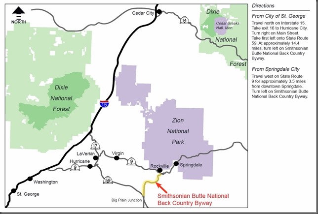 Smithsonian Butte National Back Country Byway travels for 9.25 miles (14.88 km) between Rockville, Utah, on State Route 9 and Apple Valley, Utah, on State Route 59 in southwestern Utah.

