March 8-9, 2017
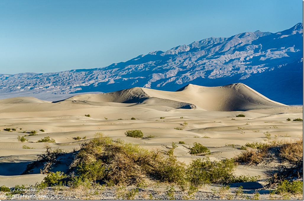
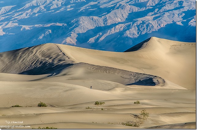 Second day at Death Valley started early—for me—to catch morning light, not sunrise, on the Mesquite Flat sand dunes. The real photographers were already parked in a good location on the shoulder.
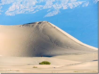 I actually set up the tripod and tried the longer 300mm lens for a little more zoom. Plus used the smaller Nikon for presumably even more zoom. People were already out on the dunes, which puts these 100 foot sand piles in perspective.
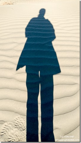
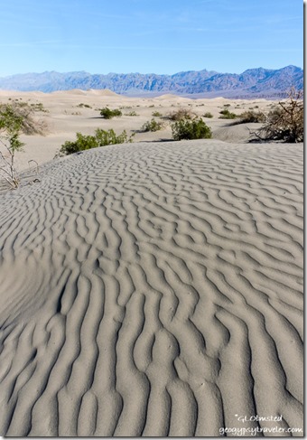
I took a short walk into the dunes not wishing to hike one mile to the tallest and climb the slippery slopes, especially with a camera. The wind patterns in the sand are fascinating enough. This dune field includes crescent, linear, and star shaped dunes. Quite the pallet for Mom nature’s wind.
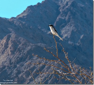 The trilling song of a Loggerhead shrike, lifer for me, caught my attention and surprisingly sat still long enough for a few photos before taking off in its undulating flight.
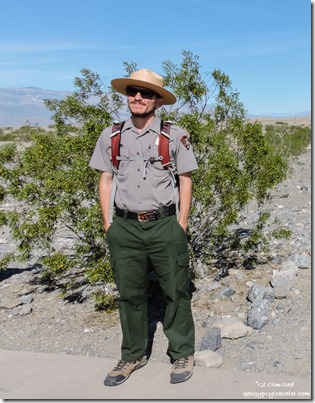
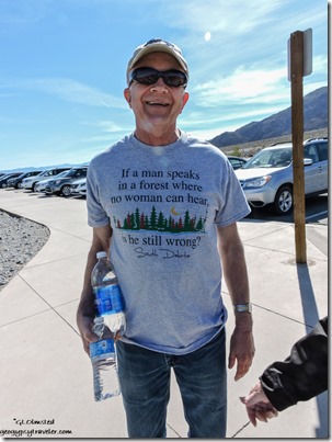
Ranger Mike Couldn’t resist
While waiting for the 10am Ranger walk I hung around in the parking lot when I discovered a strong signal. No surprise that I love Ranger programs when I get to learn something about the environment I’m visiting.
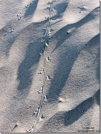
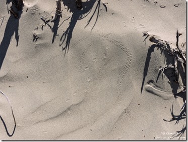 After dark is the best time to spot wildlife in the park. However, the hardcore survivors at Death Valley leave evidence that tell a story. So we went for a short walk on the dunes looking for clues. The Death Valley beetle is a species of concern because it is only known to occur in the drainage basin of the Amargosa River in the southwestern United States. Also known as a scarab beetle, it scurries across the sand trying to avoid being eaten and thus the stink.
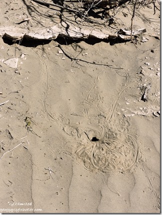
Other than human, lizard tracks are the most commonly seen and other than size are difficult to know which of the many species live here. If out during the day they will often flatten themselves out on the sand leaving a body print along their trail. Otherwise, like many animals surviving in the heat, they dig burrows. Kangaroo rats also dig burrows and can survive their entire lives drinking no water. Instead they get all their moisture from the vegetation eaten and seeds that gather moisture when left in their underground pantry. [*Whose tracks are these?]
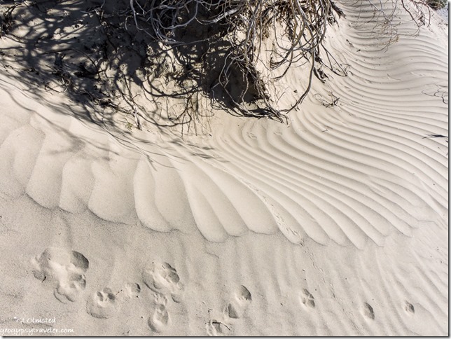 Canine tracks could be a sign of coyote, kit fox, or an illegal dog. This walk sure was a fun way to learn about life in the dunes.
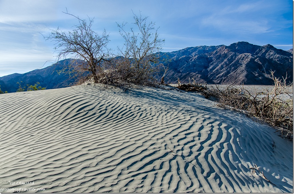 So why dunes here and not everywhere? There are actually five dune fields in Death Valley including Eureka, Saline Valley, Panamint, Ibex, and Mesquite Flat which sprawls 14 miles across the widest part of Death Valley. For dunes to exist there must be a source of sand, prevailing winds to move the sand, and a place for the sand to collect. The eroded canyons and washes provide plenty of sand, the wind seems to always blow (especially in the springtime), but there are only a few areas in the park where the sand is “trapped” by geographic features such as mountains.
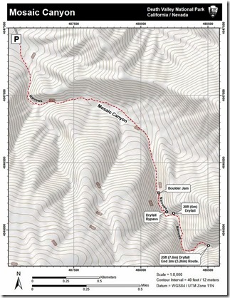
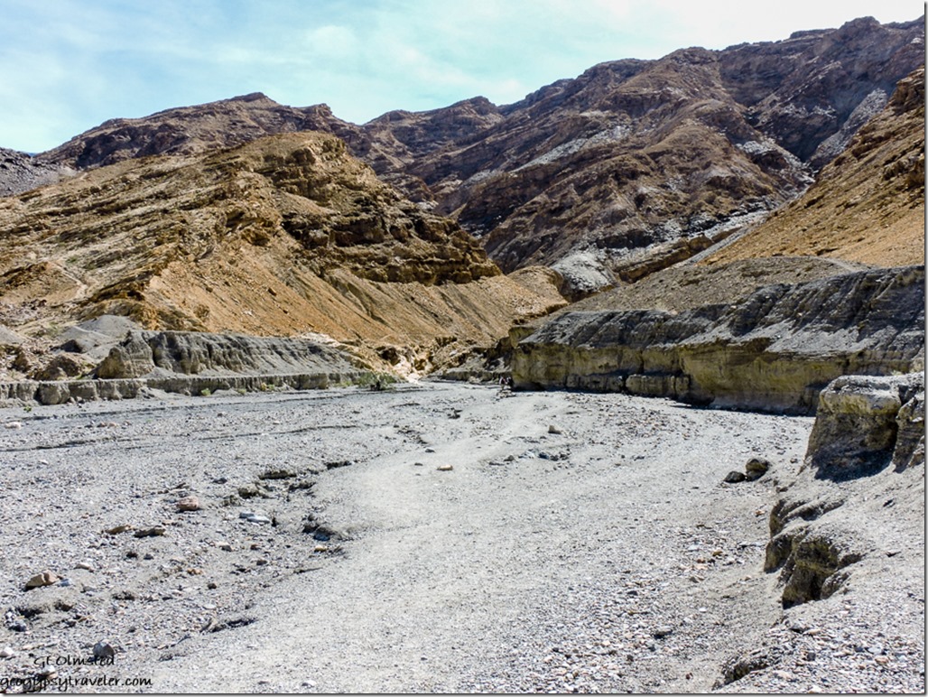
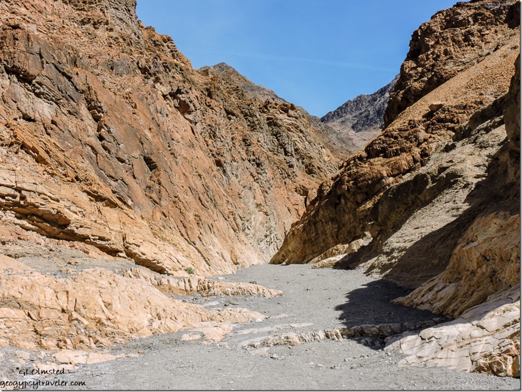
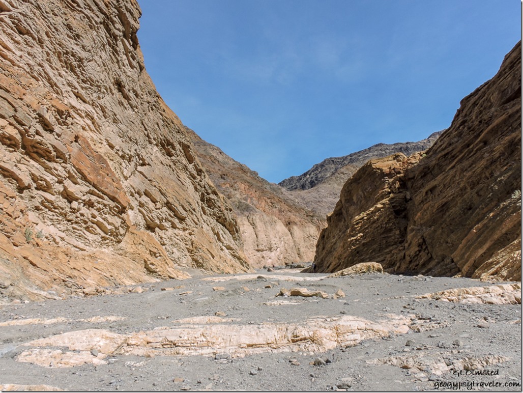
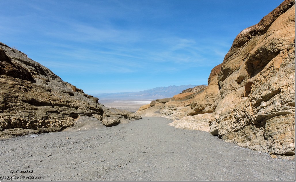
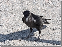 Only a few miles down the road from the dunes and just past the developed Stovepipe Wells (store, lodge, gravel parking lot camping, and expensive fuel) I drove the bumpy but doable 2.3 miles uphill to walk in Mosaic Canyon. The entire 4 m round trip trail starts out wide in a rocky wash, gets narrow, and then opens again. [Raven welcomes visitors at trailhead, not cropped]
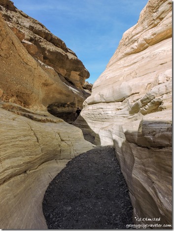 Adventurous hikers can crawl between the boulder jam about 1.3 miles into the canyon, bypass a 20 foot slanted dryfall, and continue to a third set of narrows to a 25 foot vertical dryfall where the trail ends.
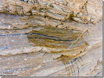
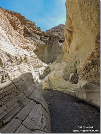 I only went a bit past the first narrows—not much further than the last time hiked—because it’s the shinny, water polished marble (metamorphosed limestone) contrasting with breccia (sediments with upstream rocks cemented together) that fascinates me. [Note the dark graphite where I poured water on the marble]
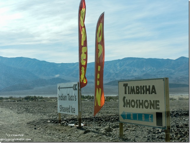 After my meander I was hungry and feeling too lazy to make lunch so decided to check out the Indian Tacos sold on the reservation village near Furnace Creek. The Timbisha Shoshone Tribe were formerly known as the Panamint Shoshone Indians of Death Valley and were best known for their fine basket making skills. Over a thousand years ago they would move from the valley floor into the mountains during the summer months, ten return for the winter. The Timbisha Indian Village was created in 1936 yet it wasn’t until Death Valley National Monument was expanded in 1994 and became a national park that the tribe asked for a reservation that was signed into law in 2001 covering 7000 acres of land both in and out of the park. The Tribe consists of close to 300 members, 20 of whom reside in the Village. I sat at a large table enjoying my taco with a couple from Idaho chatting about the park and what’s going on in the world.
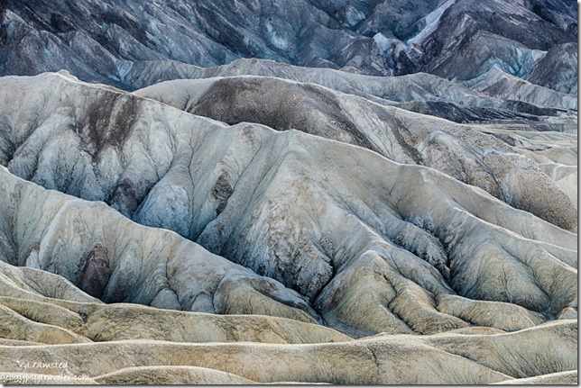
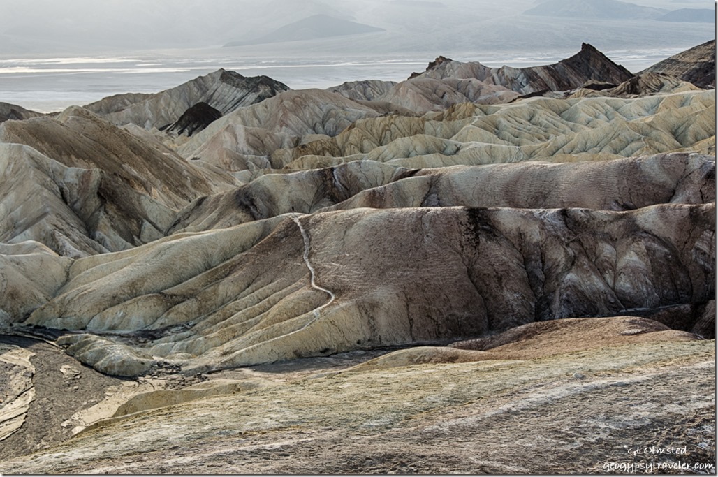
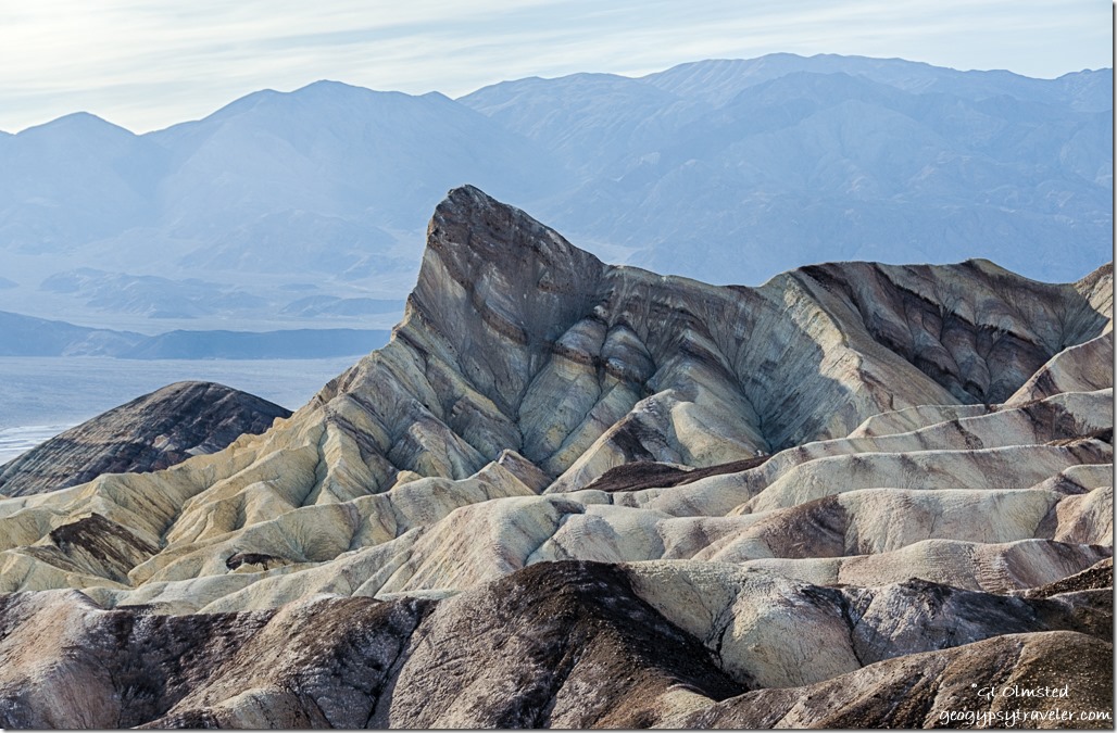
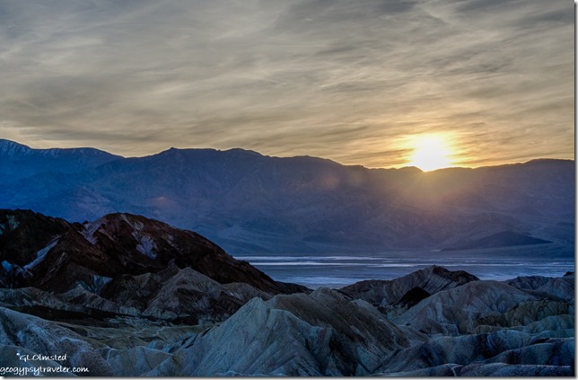
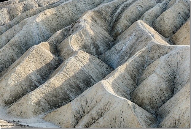 Then I visited Zabriskie Point for the afternoon and that turned into sunset. The late afternoon light and shadows superbly set off the badland formations.
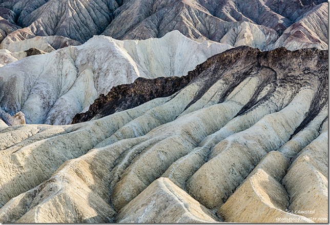 The light color rock is the Furnace Creek formation made up of nine million year old lake sediments, gravel from nearby mountains, and ashfalls from the then active Black Mountain volcanic field. The dark-colored material capping the badland ridges is lava from eruptions that occurred three to five million years ago. And then there’s minerals to give everything color.
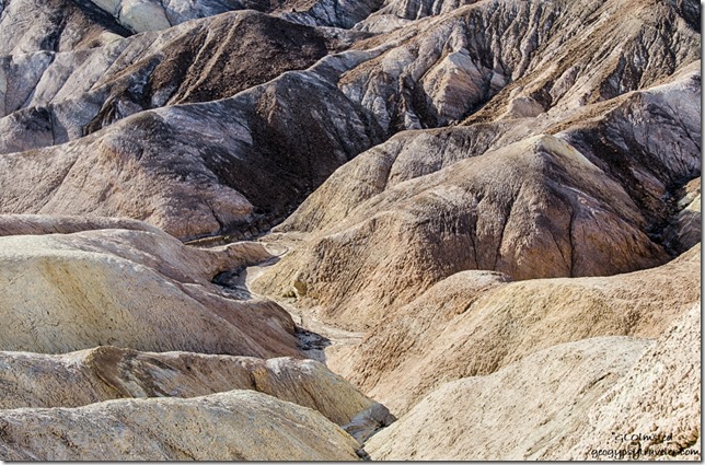 It wasn’t easy to shoot towards the late afternoon sun, but I was focused more on the detail than the big view.
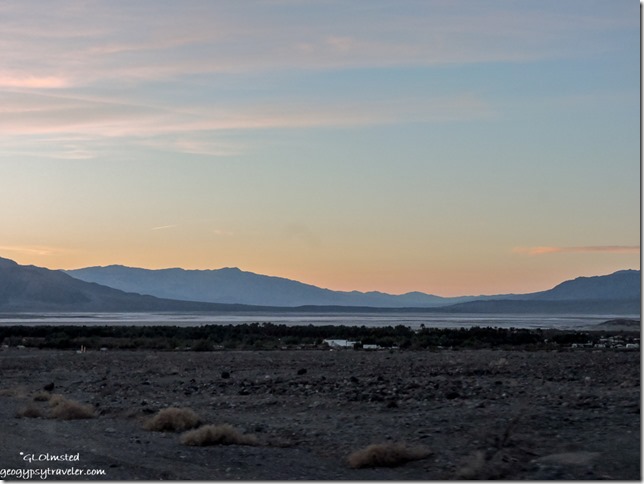 Although sunset wasn’t quite as exciting as the night before at Badwater I was rewarded with a soft sunset on the way back to camp for my last night in Death Valley.
The next morning I dumped the camper tanks and was on the road by 11am with a quick stop for signal at the sand dunes before heading to Owens Valley and the Alabama Hills outside Lone Pine, California.
* Kangaroo rat upper left, and lizard

