Maybe I should rephrase that to you can sometimes see far from Keys View Joshua Tree National Park. Usually depends on the air quality—how much pollution is blowing in from Los Angeles—the season, and the time of day. Morning or late afternoon being best during the winter.
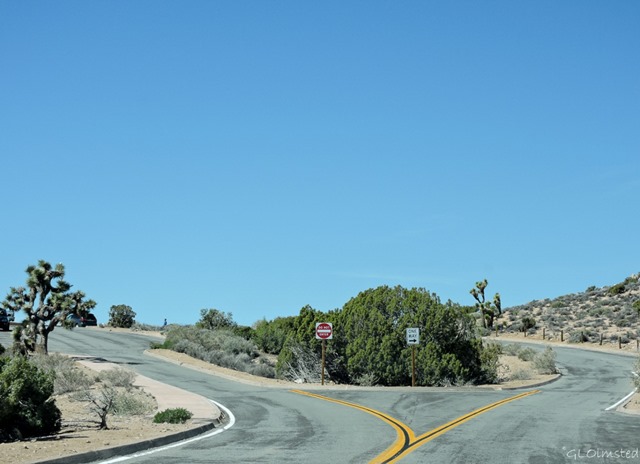 The first time I visited Joshua Tree during spring many years ago, the wind blew so strong I could barely open my truck door and walk less than 1000 feet (304 m) to the overlook. Once there I got a gritty, hazy, barely any view at all. It may be a short walk but is steep, paved and not accessible, for the later parking is just before the end of the viewpoint road.
 Being Keys View is at 5185 feet (1581 m) in elevation, the highest point in the park reached by paved road, and perched on the crest of the little San Bernardino Mountains I expected to see forever, or almost anyway. I read that on a really clear day you might be able to see Signal Mountain in Mexico near the border 95 miles (153 km) away. More often you can barely make out the tip of 10,831 foot (3302m) Mount San Jacinto about 50 miles (80 km) away.
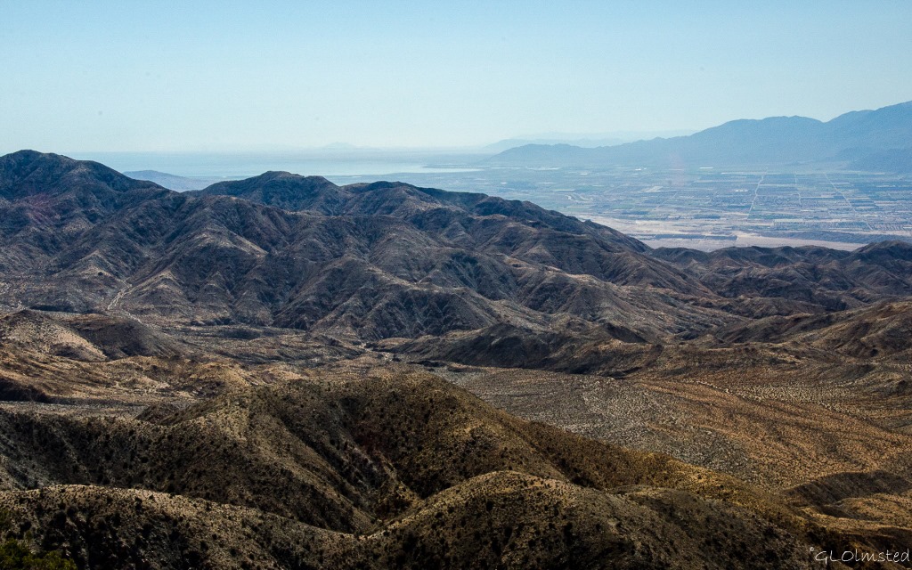 Fortunately after a leisurely drive with stops along the way my 11am Keys View is clear, just not to Mexico. To the left/southwest, just a portion of the Salton Sea glimmers at 230 feet (70 m) below sea level, where I camped and watched birds only a week before.
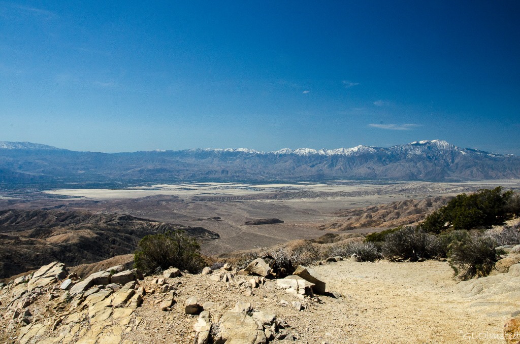 The Coachella Valley stretches 50 miles (80 km) encompassing agricultural lands, small cities like Indio and Palm Springs, and to the base of the San Bernardino Range with 11485 foot (3500 m) snow tipped Mount San Gorgonio to the the right. “Coachella” comes from a Native American name for the conch shells discovered in this ancient seabed.
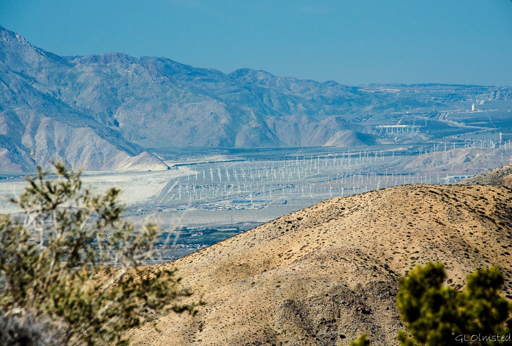 Looking closely into the valley I see miles of white sticks and even from this distance they look out of place. On even closer inspection, which means camera zoom, the San Gorgonio Pass Wind Farm comes into view. It’s the oldest wind farm in the US being in operation since 1982. Currently 2700 turbines produce enough wind energy to power about 300,000 homes. This is considered the windiest place in southern California when cool air blowing in from the Pacific Ocean, 90 miles (144 km) west, is forced between the mountains then meets the rising heat from the desert floor. Wind speeds in the pass have reached 80 mph (128 kph) which is slightly faster than a Category 1 hurricane. Guess that explains all the wind.
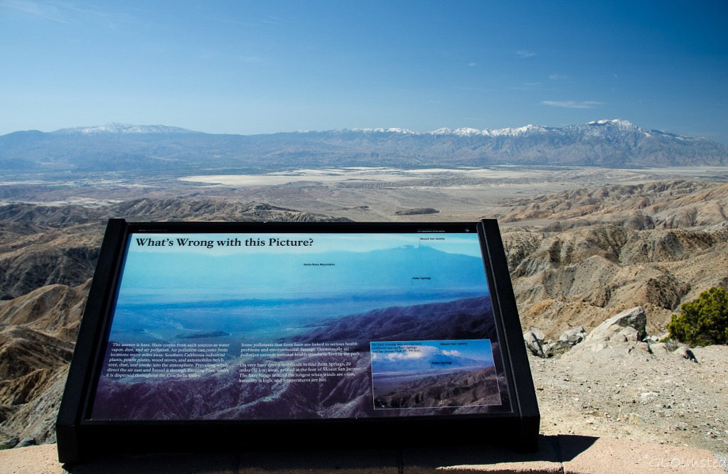 Across Coachella Valley lies the Santa Rosa Mountains seen from the opposite side during my visit to Anza-Borrego Desert State Park. Plus the San Jacinto Mountains and with its snowy Peak.
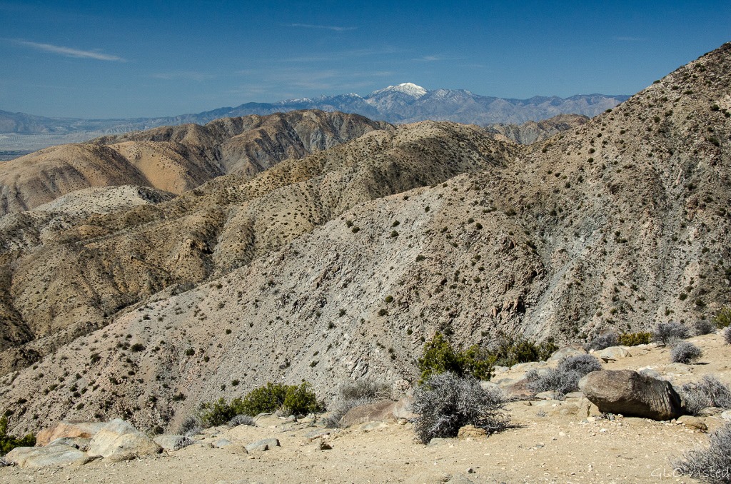 No matter the view, I’d rather be in the park enjoying nature than down in that congested valley with the San Andreas Fault running through it. So I continue to explore on this fourth day of visiting Joshua Tree and head to the Barker Dam trail next.
